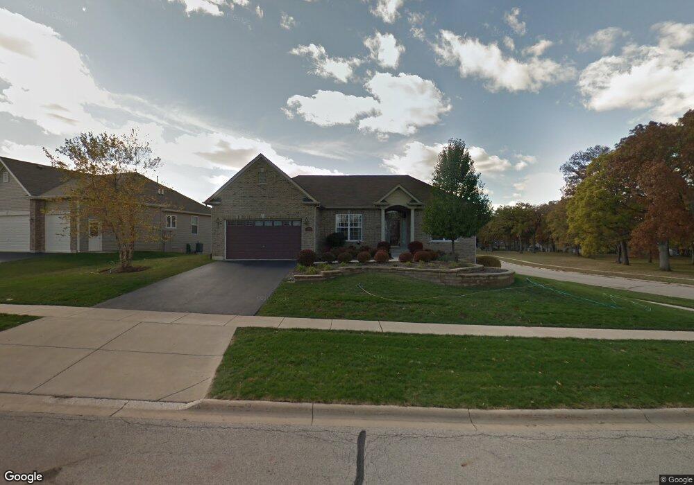
1733 Hoover Trail Unit 1 McHenry, IL 60051
Estimated Value: $464,000 - $520,000
3
Beds
3
Baths
3,000
Sq Ft
$164/Sq Ft
Est. Value
About This Home
This home is located at 1733 Hoover Trail Unit 1, McHenry, IL 60051 and is currently estimated at $492,855, approximately $164 per square foot. 1733 Hoover Trail Unit 1 is a home located in McHenry County with nearby schools including Hilltop Elementary School, Chauncey H Duker School, and Mchenry Middle School.
Ownership History
Date
Name
Owned For
Owner Type
Purchase Details
Closed on
Feb 5, 2011
Sold by
Taveirne Douglas J and Taveirne Linda J
Bought by
Taveirne Linda J and L J Taveirne Trust
Current Estimated Value
Purchase Details
Closed on
Jan 25, 2011
Sold by
Damato Martha A and Serio August P
Bought by
Taveirne Douglas and Taveirne Linda
Purchase Details
Closed on
Dec 1, 2010
Sold by
Chicago Title Land Trust Company
Bought by
Damato Martha A and Serio August P
Purchase Details
Closed on
Sep 3, 2004
Sold by
Wayne Hummer Trust Co Na
Bought by
Lasalle Bank Na and Trust #130056
Create a Home Valuation Report for This Property
The Home Valuation Report is an in-depth analysis detailing your home's value as well as a comparison with similar homes in the area
Home Values in the Area
Average Home Value in this Area
Purchase History
| Date | Buyer | Sale Price | Title Company |
|---|---|---|---|
| Taveirne Linda J | -- | None Available | |
| Taveirne Douglas | $310,000 | Commonwealth Land Title Insu | |
| Damato Martha A | -- | Chicago Title Land Trust Co | |
| Lasalle Bank Na | $323,140 | -- |
Source: Public Records
Tax History Compared to Growth
Tax History
| Year | Tax Paid | Tax Assessment Tax Assessment Total Assessment is a certain percentage of the fair market value that is determined by local assessors to be the total taxable value of land and additions on the property. | Land | Improvement |
|---|---|---|---|---|
| 2024 | $10,442 | $139,432 | $20,640 | $118,792 |
| 2023 | $10,061 | $124,916 | $18,491 | $106,425 |
| 2022 | $9,964 | $115,889 | $17,155 | $98,734 |
| 2021 | $9,483 | $107,924 | $15,976 | $91,948 |
| 2020 | $9,152 | $103,425 | $15,310 | $88,115 |
| 2019 | $8,993 | $98,210 | $14,538 | $83,672 |
| 2018 | $10,188 | $99,901 | $14,789 | $85,112 |
| 2017 | $11,085 | $99,905 | $14,790 | $85,115 |
| 2016 | $10,744 | $93,369 | $13,822 | $79,547 |
| 2013 | -- | $83,416 | $14,792 | $68,624 |
Source: Public Records
Map
Nearby Homes
- 1731 Redwood Ln
- 1515 N River Rd
- 1804 Redwood Ln
- 2102 Truman Trail
- 1716 Pine St Unit 1716
- 3013 Emily Ln
- 1740 Pine St Unit 17401
- 3019 W Lincoln Rd
- 2413 Country Ln
- Lot 37 Margaret Ct
- 1811 Mason Corte Dr
- Rt 120 Route 120 Hwy
- 2212 Blake Rd
- 1007 N River Rd
- 1718 W Lincoln Rd
- 814 N River Rd
- 2212 N Richmond Rd
- 3618 Maple Ave
- 2706 Kendall Crossing
- 707 Quinn Rd
- 1729 Hoover Trail
- 1725 Hoover Trail Unit 1
- 1730 Reagan Blvd
- 1726 Reagan Blvd Unit 1
- 1903 Tyler Trail
- 1738 Hoover Trail
- 1721 Hoover Trail
- 1722 Reagan Blvd
- 1734 Hoover Trail
- 1730 Hoover Trail Unit 1
- 1907 Tyler Trail Unit 1
- 1726 Hoover Trail Unit 1
- 1718 Reagan Blvd
- 1911 Tyler Trail
- 1722 Hoover Trail Unit 1
- 1912 Tyler Trail
- 1721 Reagan Blvd
- 1725 Reagan Blvd
- 2520 Wall St
- 1915 Tyler Trail