1733 Koch Ln de Soto, MO 63020
Estimated Value: $186,000 - $299,000
3
Beds
2
Baths
1,878
Sq Ft
$139/Sq Ft
Est. Value
About This Home
This home is located at 1733 Koch Ln, de Soto, MO 63020 and is currently estimated at $261,321, approximately $139 per square foot. 1733 Koch Ln is a home located in Jefferson County with nearby schools including De Soto Senior High School and St Rose Of Lima School.
Ownership History
Date
Name
Owned For
Owner Type
Purchase Details
Closed on
Aug 3, 2020
Sold by
Boyer Bernard J and Boyer Mindy J
Bought by
Boyer Bernard J and Boyer Mindy J
Current Estimated Value
Home Financials for this Owner
Home Financials are based on the most recent Mortgage that was taken out on this home.
Original Mortgage
$148,500
Outstanding Balance
$131,680
Interest Rate
3.1%
Mortgage Type
New Conventional
Estimated Equity
$129,641
Purchase Details
Closed on
Nov 3, 2009
Sold by
The Otke Family Limited Partnership
Bought by
Cedar Valley Rental Properties Llc
Purchase Details
Closed on
Mar 7, 2007
Sold by
Otke Tom and Otke Thomas G
Bought by
The Otke Family Lp
Create a Home Valuation Report for This Property
The Home Valuation Report is an in-depth analysis detailing your home's value as well as a comparison with similar homes in the area
Home Values in the Area
Average Home Value in this Area
Purchase History
| Date | Buyer | Sale Price | Title Company |
|---|---|---|---|
| Boyer Bernard J | -- | None Available | |
| Cedar Valley Rental Properties Llc | -- | None Available | |
| The Otke Family Lp | -- | None Available |
Source: Public Records
Mortgage History
| Date | Status | Borrower | Loan Amount |
|---|---|---|---|
| Open | Boyer Bernard J | $148,500 |
Source: Public Records
Tax History Compared to Growth
Tax History
| Year | Tax Paid | Tax Assessment Tax Assessment Total Assessment is a certain percentage of the fair market value that is determined by local assessors to be the total taxable value of land and additions on the property. | Land | Improvement |
|---|---|---|---|---|
| 2025 | $1,443 | $24,200 | $5,100 | $19,100 |
| 2024 | $1,443 | $22,500 | $5,100 | $17,400 |
| 2023 | $1,443 | $22,500 | $5,100 | $17,400 |
| 2022 | $1,440 | $22,500 | $5,100 | $17,400 |
| 2021 | $1,438 | $22,500 | $5,100 | $17,400 |
| 2020 | $1,291 | $19,800 | $4,200 | $15,600 |
| 2019 | $1,289 | $19,800 | $4,200 | $15,600 |
| 2018 | $1,256 | $19,800 | $4,200 | $15,600 |
| 2017 | $1,313 | $20,700 | $5,800 | $14,900 |
| 2016 | $1,485 | $23,000 | $5,800 | $17,200 |
| 2015 | $2,117 | $34,400 | $5,400 | $29,000 |
| 2013 | $2,117 | $31,800 | $5,100 | $26,700 |
Source: Public Records
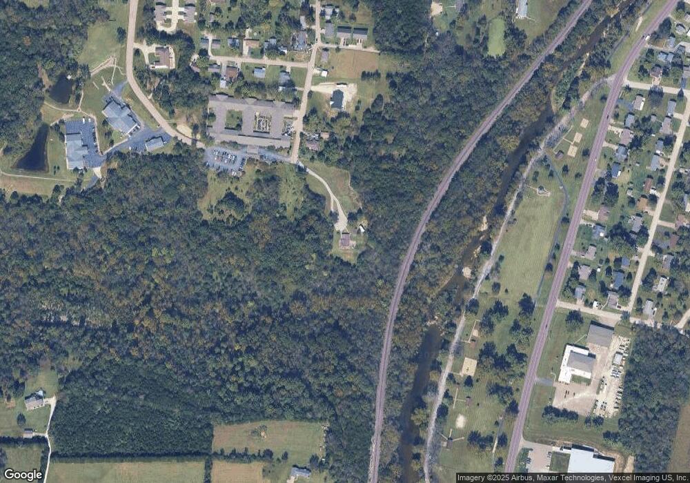
Map
Nearby Homes
- BLOCK 54 Highway E
- 54 Veterans Dr
- 0 Vineland School Rd
- 663 Boyne St
- 623 Boyne St
- 52 Highway E (Veterans Dr ) Hwy
- 53 HIGHWAY E (Vererans Dr) Dr
- 614 W Saint Louis St
- 400 E Plattin St
- 716 W Saint Louis St
- 1571 Berry Dairy Rd
- 10 Acres Off Hawkwood Trail
- 708 S 2nd St
- 0 Hwy E-Veterans Hwy Unit MIS25014230
- 221 W Miller St
- 0 Kennett St
- 424 S 2nd St
- 100 Kennett St
- 1444 Yellow Rock Rd
- 609 W Clement St