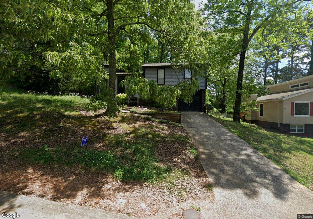
1733 Molly Ln Birmingham, AL 35235
Estimated Value: $153,000 - $199,000
3
Beds
2
Baths
1,195
Sq Ft
$153/Sq Ft
Est. Value
About This Home
This home is located at 1733 Molly Ln, Birmingham, AL 35235 and is currently estimated at $182,699, approximately $152 per square foot. 1733 Molly Ln is a home located in Jefferson County with nearby schools including Chalkville Elementary School, Clay-Chalkville Middle School, and Clay-Chalkville High School.
Ownership History
Date
Name
Owned For
Owner Type
Purchase Details
Closed on
Dec 27, 2001
Sold by
First Union National Bank Of Delaware
Bought by
Hubbard Vanessa Jean
Current Estimated Value
Purchase Details
Closed on
Jul 12, 2001
Sold by
Cummings Debra N
Bought by
First Union National Bank Of Delaware
Purchase Details
Closed on
Dec 3, 1999
Sold by
Cummings Paul A
Bought by
Cummings Debra N
Home Financials for this Owner
Home Financials are based on the most recent Mortgage that was taken out on this home.
Original Mortgage
$85,500
Interest Rate
7.99%
Create a Home Valuation Report for This Property
The Home Valuation Report is an in-depth analysis detailing your home's value as well as a comparison with similar homes in the area
Home Values in the Area
Average Home Value in this Area
Purchase History
| Date | Buyer | Sale Price | Title Company |
|---|---|---|---|
| Hubbard Vanessa Jean | $75,000 | -- | |
| First Union National Bank Of Delaware | $86,745 | -- | |
| Cummings Debra N | $500 | -- |
Source: Public Records
Mortgage History
| Date | Status | Borrower | Loan Amount |
|---|---|---|---|
| Previous Owner | Cummings Debra N | $85,500 |
Source: Public Records
Tax History Compared to Growth
Tax History
| Year | Tax Paid | Tax Assessment Tax Assessment Total Assessment is a certain percentage of the fair market value that is determined by local assessors to be the total taxable value of land and additions on the property. | Land | Improvement |
|---|---|---|---|---|
| 2024 | $866 | $18,340 | -- | -- |
| 2022 | $618 | $13,390 | $2,250 | $11,140 |
| 2021 | $533 | $11,690 | $2,250 | $9,440 |
| 2020 | $486 | $10,760 | $2,250 | $8,510 |
| 2019 | $486 | $10,760 | $0 | $0 |
| 2018 | $410 | $9,240 | $0 | $0 |
| 2017 | $397 | $8,980 | $0 | $0 |
| 2016 | $397 | $8,980 | $0 | $0 |
| 2015 | $397 | $8,980 | $0 | $0 |
| 2014 | $446 | $8,840 | $0 | $0 |
| 2013 | $446 | $8,840 | $0 | $0 |
Source: Public Records
Map
Nearby Homes
- 1742 Molly Ln
- 1792 Annendale Dr
- 4229 Pebble Garden Way
- 1725 Brewster Rd
- 1586 Wilderness Ln
- 1533 Shagbark Cir
- 1725 Sonia Dr
- 4425 Haley Way
- 1860 Otis Rd
- 1412 Maralyn Dr
- 1908 Live Oak Trace
- 1821 Creely Dr
- 1904 Croydon Cir
- 1503 Wilderness Ln
- 1500 Cedargate Cir
- 1836 Westridge Dr
- 1833 Dry Creek Cir
- 1801 Dry Creek Cir
- 1978 Westridge Dr
- 1010 Cannon Cir