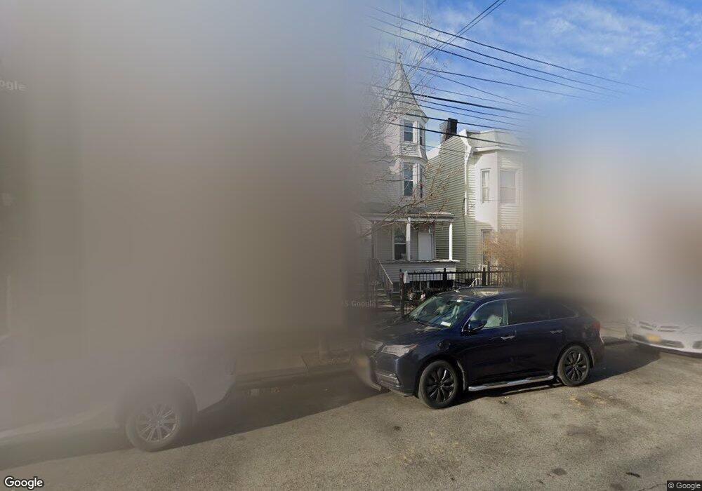
1733 Taylor Ave Bronx, NY 10460
Van Nest NeighborhoodEstimated Value: $554,959 - $816,000
Studio
--
Bath
1,300
Sq Ft
$525/Sq Ft
Est. Value
About This Home
This home is located at 1733 Taylor Ave, Bronx, NY 10460 and is currently estimated at $682,990, approximately $525 per square foot. 1733 Taylor Ave is a home located in Bronx County with nearby schools including P.S. 105 Senator Abraham Bernstein, Pelham Academy, and Bronx Green Middle School.
Ownership History
Date
Name
Owned For
Owner Type
Purchase Details
Closed on
Nov 16, 2012
Sold by
Dinnen Christine and Schneider Arthur
Bought by
Dinnen Family Irrevocable Trust and Thomas Dinnen Trustee
Current Estimated Value
Purchase Details
Closed on
Jun 9, 1998
Sold by
Schneider Henrietta and Schneider John
Bought by
Schneider Arthur and Dinnen Christine
Create a Home Valuation Report for This Property
The Home Valuation Report is an in-depth analysis detailing your home's value as well as a comparison with similar homes in the area
Home Values in the Area
Average Home Value in this Area
Purchase History
| Date | Buyer | Sale Price | Title Company |
|---|---|---|---|
| Dinnen Family Irrevocable Trust | -- | -- | |
| Dinnen Family Irrevocable Trust | -- | -- | |
| Schneider Arthur | -- | Chicago Title Insurance Co | |
| Schneider Arthur | -- | Chicago Title Insurance Co |
Source: Public Records
Tax History
| Year | Tax Paid | Tax Assessment Tax Assessment Total Assessment is a certain percentage of the fair market value that is determined by local assessors to be the total taxable value of land and additions on the property. | Land | Improvement |
|---|---|---|---|---|
| 2025 | $4,542 | $23,973 | $5,954 | $18,019 |
| 2024 | $4,542 | $22,616 | $5,091 | $17,525 |
| 2023 | $4,333 | $21,337 | $4,129 | $17,208 |
| 2022 | $3,468 | $34,320 | $6,780 | $27,540 |
| 2021 | $3,934 | $30,900 | $6,780 | $24,120 |
| 2020 | $3,801 | $29,460 | $6,780 | $22,680 |
| 2019 | $3,650 | $29,460 | $6,780 | $22,680 |
| 2018 | $3,327 | $17,781 | $4,485 | $13,296 |
| 2017 | $3,120 | $16,776 | $4,658 | $12,118 |
| 2016 | $3,044 | $16,776 | $5,251 | $11,525 |
| 2015 | $1,689 | $16,649 | $6,152 | $10,497 |
| 2014 | $1,689 | $15,707 | $6,968 | $8,739 |
Source: Public Records
Map
Nearby Homes
- 1713 Taylor Ave
- 591 van Nest Ave
- 1727 Van Buren St
- 588 van Nest Ave
- 518 Morris Park Ave
- 506 van Nest Ave
- 504 van Nest Ave
- 1620 Taylor Ave
- 508 van Nest Ave
- 1639 Garfield St
- 500 van Nest Ave
- 1601 Van Buren St
- 1679 Unionport Rd
- 1727 Victor St
- 623 Baker Ave
- 679 van Nest Ave
- 1823 Amethyst St
- 1827 Amethyst St
- 1721 White Plains Rd
- 1731 White Plains Rd
- 1737 Taylor Ave
- 1739 Taylor Ave
- 1741 Taylor Ave
- 1731 Taylor Ave
- 1743 Taylor Ave
- 1729 Taylor Ave
- 1736 Melville St
- 1747 Taylor Ave
- 1732 Melville St
- 1738 Melville St
- 1727 Taylor Ave
- 1740 Melville St
- 1730 Melville St
- 1742 Melville St
- 1728 Melville St
- 1749 Taylor Ave
- 1725 Taylor Ave
- 1746 Melville St
- 1726 Melville St
- 1723 Taylor Ave
Your Personal Tour Guide
Ask me questions while you tour the home.