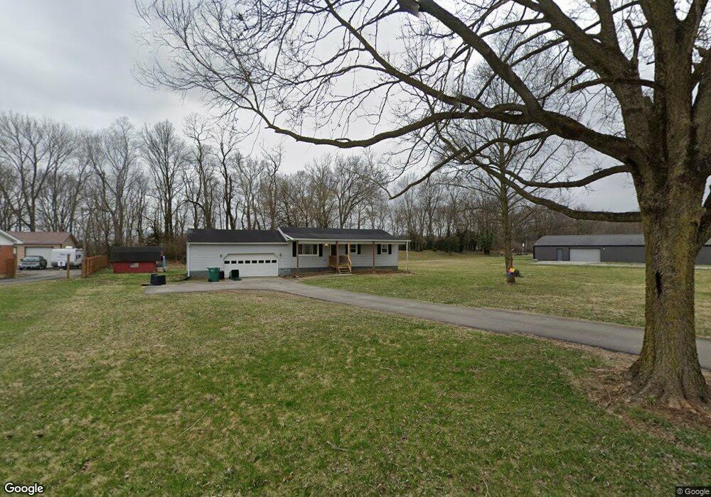
1733 Tremont City Rd Springfield, OH 45502
Estimated Value: $121,000 - $176,000
3
Beds
2
Baths
960
Sq Ft
$155/Sq Ft
Est. Value
About This Home
This home is located at 1733 Tremont City Rd, Springfield, OH 45502 and is currently estimated at $148,500, approximately $154 per square foot. 1733 Tremont City Rd is a home located in Clark County with nearby schools including Northwestern Elementary School, Northwestern Junior/Senior High School, and Ridgewood School.
Ownership History
Date
Name
Owned For
Owner Type
Purchase Details
Closed on
Aug 6, 2021
Sold by
Partee Janine and Leist Charles W
Bought by
Thorpe Robert J
Current Estimated Value
Home Financials for this Owner
Home Financials are based on the most recent Mortgage that was taken out on this home.
Original Mortgage
$246,000
Outstanding Balance
$154,067
Interest Rate
2.9%
Mortgage Type
Purchase Money Mortgage
Estimated Equity
-$5,567
Purchase Details
Closed on
Oct 28, 2004
Sold by
Smith George E and Smith Darlene E
Bought by
Leist Charles W and Leist Patricia J
Home Financials for this Owner
Home Financials are based on the most recent Mortgage that was taken out on this home.
Original Mortgage
$52,000
Interest Rate
5.85%
Mortgage Type
Purchase Money Mortgage
Create a Home Valuation Report for This Property
The Home Valuation Report is an in-depth analysis detailing your home's value as well as a comparison with similar homes in the area
Home Values in the Area
Average Home Value in this Area
Purchase History
| Date | Buyer | Sale Price | Title Company |
|---|---|---|---|
| Thorpe Robert J | $140,000 | None Available | |
| Leist Charles W | $100,000 | -- |
Source: Public Records
Mortgage History
| Date | Status | Borrower | Loan Amount |
|---|---|---|---|
| Open | Thorpe Robert J | $246,000 | |
| Previous Owner | Leist Charles W | $52,000 |
Source: Public Records
Tax History Compared to Growth
Tax History
| Year | Tax Paid | Tax Assessment Tax Assessment Total Assessment is a certain percentage of the fair market value that is determined by local assessors to be the total taxable value of land and additions on the property. | Land | Improvement |
|---|---|---|---|---|
| 2024 | $2,034 | $28,040 | $11,500 | $16,540 |
| 2023 | $2,034 | $44,540 | $11,500 | $33,040 |
| 2022 | $2,123 | $44,540 | $11,500 | $33,040 |
| 2021 | $2,160 | $40,910 | $8,780 | $32,130 |
| 2020 | $2,181 | $40,910 | $8,780 | $32,130 |
| 2019 | $1,699 | $40,910 | $8,780 | $32,130 |
| 2018 | $1,442 | $35,580 | $7,980 | $27,600 |
| 2017 | $1,443 | $35,578 | $7,980 | $27,598 |
| 2016 | $1,414 | $35,578 | $7,980 | $27,598 |
| 2015 | $1,382 | $34,993 | $7,980 | $27,013 |
| 2014 | $1,381 | $34,993 | $7,980 | $27,013 |
| 2013 | $1,372 | $34,993 | $7,980 | $27,013 |
Source: Public Records
Map
Nearby Homes
- 30 Center St
- 6250 Willowdale Rd
- 4211 Grey Stone Crossing
- 4328 Pine Tree Place
- 593 Hiser Ave
- 3802 Lawrenceville Dr
- 794 Donnelly Ave
- 4514 Dowden St
- 5646 Springfield-Urbana Pike Unit Lot 88
- 5646 Springfield-Urbana Pike Unit Lot 122
- 5646 Springfield-Urbana Pike Unit Lot 61
- 5646 Springfield-Urbana Pike Unit Lot 127
- 5646 Springfield-Urbana Pike Unit Lot 72
- 880 Brendle Trace Unit 28
- 916 Sawmill Ct
- 26 Thomaston Trail
- 4100 Troy Rd Unit 96
- 4100 Troy Rd Unit 12
- 970 Forest Edge Ave