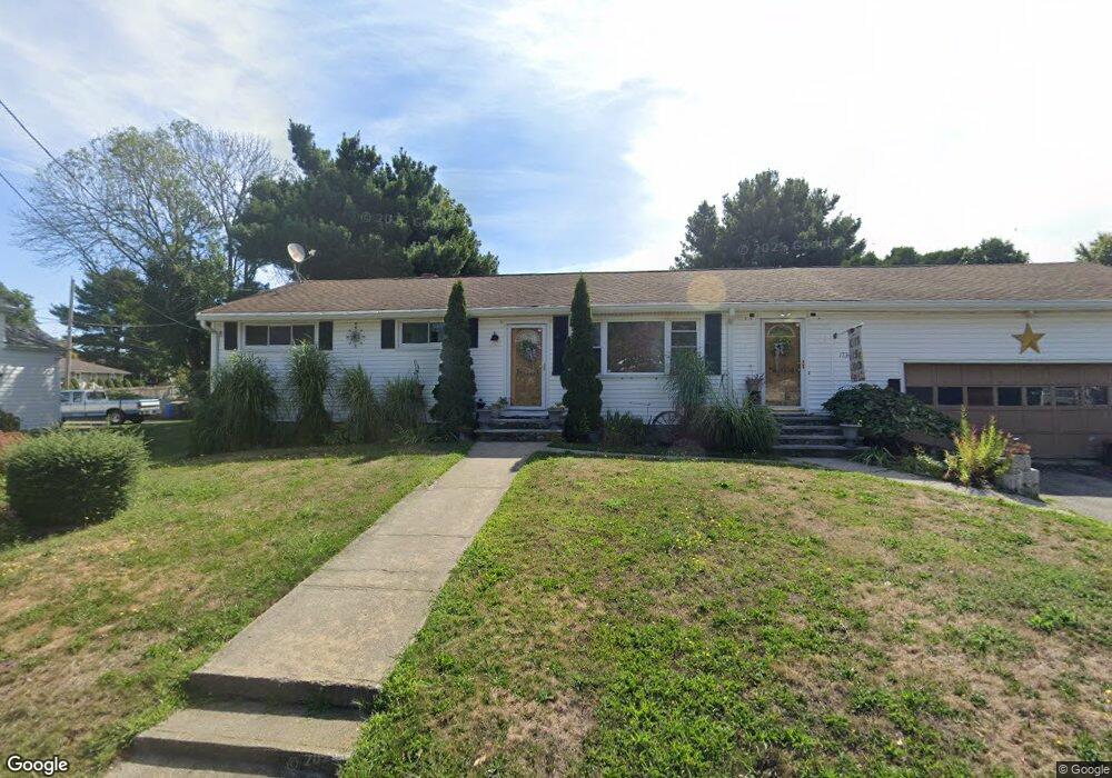
1734 Brayton Point Rd Somerset, MA 02726
Brayton Point NeighborhoodEstimated Value: $456,000 - $480,000
3
Beds
1
Bath
1,296
Sq Ft
$362/Sq Ft
Est. Value
About This Home
This home is located at 1734 Brayton Point Rd, Somerset, MA 02726 and is currently estimated at $468,702, approximately $361 per square foot. 1734 Brayton Point Rd is a home located in Bristol County with nearby schools including South Elementary School, Somerset Middle School, and St. Michael's School.
Ownership History
Date
Name
Owned For
Owner Type
Purchase Details
Closed on
Jul 30, 2007
Sold by
Rita Rachel Ma and Raposo Rachel
Bought by
Raposo Nelson and Raposo Rachel
Current Estimated Value
Home Financials for this Owner
Home Financials are based on the most recent Mortgage that was taken out on this home.
Original Mortgage
$75,000
Outstanding Balance
$47,339
Interest Rate
6.78%
Mortgage Type
Purchase Money Mortgage
Estimated Equity
$421,363
Create a Home Valuation Report for This Property
The Home Valuation Report is an in-depth analysis detailing your home's value as well as a comparison with similar homes in the area
Home Values in the Area
Average Home Value in this Area
Purchase History
| Date | Buyer | Sale Price | Title Company |
|---|---|---|---|
| Raposo Nelson | -- | -- | |
| Raposo Nelson | -- | -- | |
| Raposo Nelson | -- | -- |
Source: Public Records
Mortgage History
| Date | Status | Borrower | Loan Amount |
|---|---|---|---|
| Open | Raposo Nelson | $75,000 | |
| Closed | Raposo Nelson | $75,000 |
Source: Public Records
Tax History Compared to Growth
Tax History
| Year | Tax Paid | Tax Assessment Tax Assessment Total Assessment is a certain percentage of the fair market value that is determined by local assessors to be the total taxable value of land and additions on the property. | Land | Improvement |
|---|---|---|---|---|
| 2025 | $5,774 | $434,100 | $174,700 | $259,400 |
| 2024 | $5,418 | $423,600 | $174,700 | $248,900 |
| 2023 | $4,700 | $370,700 | $145,500 | $225,200 |
| 2022 | $4,354 | $327,600 | $125,900 | $201,700 |
| 2021 | $4,397 | $299,500 | $114,100 | $185,400 |
| 2020 | $4,345 | $285,500 | $114,800 | $170,700 |
| 2019 | $4,920 | $269,600 | $114,800 | $154,800 |
| 2018 | $4,209 | $248,200 | $110,500 | $137,700 |
| 2017 | $4,099 | $235,600 | $104,900 | $130,700 |
| 2016 | $4,125 | $235,600 | $104,900 | $130,700 |
| 2015 | $3,845 | $221,600 | $99,800 | $121,800 |
| 2014 | $5,424 | $224,600 | $99,800 | $124,800 |
Source: Public Records
Map
Nearby Homes
- 1748 Brayton Point Rd
- 1706 Brayton Point Rd
- 1707 Brayton Point Rd
- 1770 Brayton Point Rd
- 502 Kaufman Rd
- 1751 Brayton Point Rd
- 490 Kaufman Rd
- 1723 Brayton Point Rd
- 550 Lepes Rd
- 16 Aneila St
- 526 Kaufman Rd
- 27 Aneila St
- 27 Anelia St
- 61 Wilson Rd
- 1677 Brayton Point Rd
- 16 Anelia St
- 66 Wilson Rd
- 474 Kaufman Rd
- 38 Aneila St
- 477 Kaufman Rd