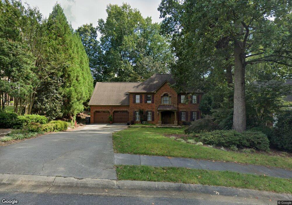
1734 Brookstone Way NW Unit 1 Acworth, GA 30101
Estimated Value: $494,848 - $572,000
4
Beds
3
Baths
2,897
Sq Ft
$187/Sq Ft
Est. Value
About This Home
This home is located at 1734 Brookstone Way NW Unit 1, Acworth, GA 30101 and is currently estimated at $542,462, approximately $187 per square foot. 1734 Brookstone Way NW Unit 1 is a home located in Cobb County with nearby schools including Pickett's Mill Elementary School, Durham Middle School, and Allatoona High School.
Ownership History
Date
Name
Owned For
Owner Type
Purchase Details
Closed on
Jun 30, 1997
Sold by
Knechtel Brad R and Knechtel Lynn A
Bought by
Carnes Timothy C and Carnes Karen D
Current Estimated Value
Home Financials for this Owner
Home Financials are based on the most recent Mortgage that was taken out on this home.
Original Mortgage
$142,500
Outstanding Balance
$21,202
Interest Rate
7.93%
Mortgage Type
New Conventional
Estimated Equity
$521,260
Create a Home Valuation Report for This Property
The Home Valuation Report is an in-depth analysis detailing your home's value as well as a comparison with similar homes in the area
Home Values in the Area
Average Home Value in this Area
Purchase History
| Date | Buyer | Sale Price | Title Company |
|---|---|---|---|
| Carnes Timothy C | $150,000 | -- |
Source: Public Records
Mortgage History
| Date | Status | Borrower | Loan Amount |
|---|---|---|---|
| Open | Carnes Timothy C | $142,500 |
Source: Public Records
Tax History Compared to Growth
Tax History
| Year | Tax Paid | Tax Assessment Tax Assessment Total Assessment is a certain percentage of the fair market value that is determined by local assessors to be the total taxable value of land and additions on the property. | Land | Improvement |
|---|---|---|---|---|
| 2024 | $1,141 | $201,192 | $52,000 | $149,192 |
| 2023 | $798 | $155,436 | $34,000 | $121,436 |
| 2022 | $1,004 | $155,436 | $34,000 | $121,436 |
| 2021 | $881 | $114,256 | $34,000 | $80,256 |
| 2020 | $857 | $106,256 | $26,000 | $80,256 |
| 2019 | $857 | $106,256 | $26,000 | $80,256 |
| 2018 | $804 | $88,756 | $24,000 | $64,756 |
| 2017 | $705 | $88,756 | $24,000 | $64,756 |
| 2016 | $2,144 | $86,392 | $24,000 | $62,392 |
| 2015 | $2,233 | $88,116 | $24,000 | $64,116 |
| 2014 | $2,250 | $88,116 | $0 | $0 |
Source: Public Records
Map
Nearby Homes
- 1799 Mclain Rd NW
- 5485 Brookstone Dr NW
- 5654 Brookstone Dr NW
- 5711 Brynwood Cir NW
- The Ashburn Plan at Woodford
- The Rebecca Plan at Woodford
- The Dillard Plan at Woodford
- The Oxford Plan at Woodford
- The Pinehurst Plan at Woodford
- The Trenton Plan at Woodford
- The Vinings Plan at Woodford
- The Bainbridge Plan at Woodford
- The Brooks Plan at Woodford
- The Evans Plan at Woodford
- 1496 Fallsbrook Ct NW
- 1670 Knob Creek Ct NW
- 002 Knob Creek Ct NW
- 1314 Fallsbrook Terrace NW
- 1313 Fallsbrook Terrace NW
- 1377 Downington Ln NW
- 1732 Brookstone Way NW
- 1736 Brookstone Way NW Unit 1
- 0 Brookstone Way Unit 8783732
- 0 Brookstone Way Unit 8585287
- 0 Brookstone Way Unit 8428289
- 0 Brookstone Way
- 5607 Brookstone Dr NW
- 0 Brookstone Way NW Unit 7598341
- 0 Brookstone Way NW Unit 7546541
- 0 Brookstone Way NW
- 1730 Brookstone Way NW
- 1739 Brookstone Ln NW
- 1737 Brookstone Ln NW Unit 1
- 1735 Brookstone Way NW
- 1729 Brookstone Way NW
- 1728 Brookstone Way NW
- 5608 Brookstone Dr NW Unit 1
- 5612 Brookstone Dr NW
- 5610 Brookstone Dr NW
- 5617 Brookstone Dr NW