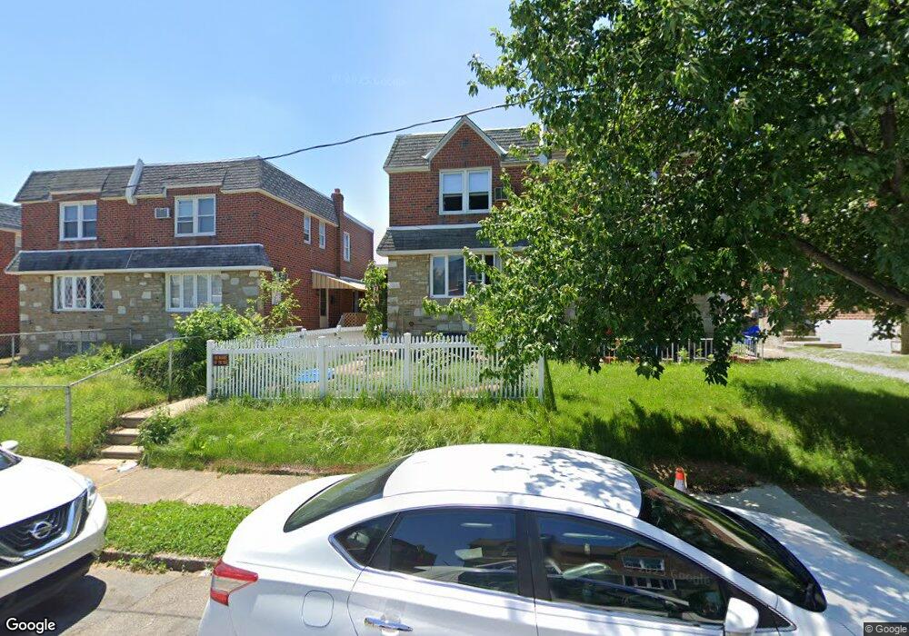
1734 Danforth St Philadelphia, PA 19152
Rhawnhurst NeighborhoodEstimated Value: $291,000 - $328,000
3
Beds
--
Bath
1,236
Sq Ft
$251/Sq Ft
Est. Value
About This Home
This home is located at 1734 Danforth St, Philadelphia, PA 19152 and is currently estimated at $310,488, approximately $251 per square foot. 1734 Danforth St is a home with nearby schools including Farrell Louis H School, Northeast High School, and Tacony Academy Charter School.
Ownership History
Date
Name
Owned For
Owner Type
Purchase Details
Closed on
Jun 18, 2009
Sold by
Krupnick Mary Butterline
Bought by
Krupnick Mary Butterline and Ciecka Daniel J
Current Estimated Value
Home Financials for this Owner
Home Financials are based on the most recent Mortgage that was taken out on this home.
Original Mortgage
$148,000
Interest Rate
4.92%
Mortgage Type
New Conventional
Purchase Details
Closed on
Nov 10, 2004
Sold by
Krupnick Arthur Hal and Krupnick Mary B
Bought by
Krupnick Mary Butterline
Create a Home Valuation Report for This Property
The Home Valuation Report is an in-depth analysis detailing your home's value as well as a comparison with similar homes in the area
Home Values in the Area
Average Home Value in this Area
Purchase History
| Date | Buyer | Sale Price | Title Company |
|---|---|---|---|
| Krupnick Mary Butterline | -- | None Available | |
| Krupnick Mary Butterline | -- | -- |
Source: Public Records
Mortgage History
| Date | Status | Borrower | Loan Amount |
|---|---|---|---|
| Closed | Krupnick Mary Butterline | $148,000 |
Source: Public Records
Tax History
| Year | Tax Paid | Tax Assessment Tax Assessment Total Assessment is a certain percentage of the fair market value that is determined by local assessors to be the total taxable value of land and additions on the property. | Land | Improvement |
|---|---|---|---|---|
| 2026 | $3,270 | $292,600 | $58,520 | $234,080 |
| 2025 | $3,270 | $292,600 | $58,520 | $234,080 |
| 2024 | $3,270 | $292,600 | $58,520 | $234,080 |
| 2023 | $3,270 | $233,600 | $46,720 | $186,880 |
| 2022 | $2,076 | $188,600 | $46,720 | $141,880 |
| 2021 | $2,706 | $0 | $0 | $0 |
| 2020 | $2,706 | $0 | $0 | $0 |
| 2019 | $2,464 | $0 | $0 | $0 |
| 2018 | $2,308 | $0 | $0 | $0 |
| 2017 | $2,308 | $0 | $0 | $0 |
Source: Public Records
Map
Nearby Homes
- 1701 Bergen St
- 1821 Kendrick St
- 1812 Kendrick St
- 1827 Arnold St
- 1826 Fox Chase Rd
- 1804 Mower St
- 1629 Strahle St
- 1734 Strahle St
- 8513 Bustleton Ave
- 1605 Strahle St
- 1621 Benson St
- 1608 Strahle St
- 1804 Hoffnagle St
- 8557 Castor Ave
- 2034 Bergen St
- 8572 Benton Ave
- 1810 Stanwood St
- 2201 Strahle St Unit C302
- 2201 00 Strahle St Unit D3
- 2201 00 Strahle St Unit B207
- 1732 Danforth St
- 1736 Danforth St
- 1730 Danforth St
- 1738 Danforth St
- 1728 Danforth St
- 1740 Danforth St
- 1735 Bergen St
- 1733 Bergen St
- 1726 Danforth St
- 1737 Bergen St
- 1731 Bergen St
- 1739 Bergen St
- 1724 Danforth St
- 1742 Danforth St
- 1729 Bergen St
- 1727 Bergen St
- 1741 Bergen St
- 1735 Danforth St
- 1733 Danforth St
- 1737 Danforth St
Your Personal Tour Guide
Ask me questions while you tour the home.