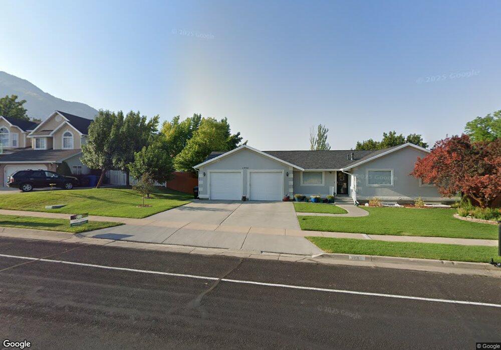
1734 E 1900 N North Logan, UT 84341
Estimated Value: $417,000 - $543,000
4
Beds
3
Baths
2,493
Sq Ft
$200/Sq Ft
Est. Value
About This Home
This home is located at 1734 E 1900 N, North Logan, UT 84341 and is currently estimated at $498,940, approximately $200 per square foot. 1734 E 1900 N is a home located in Cache County with nearby schools including Greenville School, Cedar Ridge School, and North Cache Middle School.
Ownership History
Date
Name
Owned For
Owner Type
Purchase Details
Closed on
Jan 9, 2017
Sold by
Secretary Housing Urban Development Wash
Bought by
Judd Brian M and Judd Kayleen T
Current Estimated Value
Home Financials for this Owner
Home Financials are based on the most recent Mortgage that was taken out on this home.
Original Mortgage
$194,850
Outstanding Balance
$160,228
Interest Rate
4.13%
Mortgage Type
New Conventional
Estimated Equity
$338,712
Purchase Details
Closed on
Oct 7, 2016
Sold by
Hanks David L and Hanks Elen W
Bought by
Secretary Housing Urban Development
Purchase Details
Closed on
Oct 27, 2009
Sold by
Mortenson Blake C
Bought by
Hanks David L and Hanks Elen W
Home Financials for this Owner
Home Financials are based on the most recent Mortgage that was taken out on this home.
Original Mortgage
$337,500
Interest Rate
5%
Mortgage Type
Reverse Mortgage Home Equity Conversion Mortgage
Purchase Details
Closed on
Sep 13, 2005
Sold by
Mortenson Clark
Bought by
Mortenson Clark
Purchase Details
Closed on
Sep 12, 2005
Sold by
Wangsgard Gary R and Wangsgard Jolene S
Bought by
Mortenson Clark
Purchase Details
Closed on
Jun 14, 2001
Sold by
Jardine Beckie H
Bought by
Wangsgard Gary R and Wangsgard Jolene S
Create a Home Valuation Report for This Property
The Home Valuation Report is an in-depth analysis detailing your home's value as well as a comparison with similar homes in the area
Home Values in the Area
Average Home Value in this Area
Purchase History
| Date | Buyer | Sale Price | Title Company |
|---|---|---|---|
| Judd Brian M | -- | None Available | |
| Secretary Housing Urban Development | -- | Orange Title Insurance Compa | |
| Hanks David L | -- | American Secure Title | |
| Mortenson Clark | -- | Advanced Title Co | |
| Mortenson Clark | -- | Advanced Title Co | |
| Wangsgard Gary R | -- | Northern Title Company |
Source: Public Records
Mortgage History
| Date | Status | Borrower | Loan Amount |
|---|---|---|---|
| Open | Judd Brian M | $194,850 | |
| Previous Owner | Hanks David L | $337,500 |
Source: Public Records
Tax History
| Year | Tax Paid | Tax Assessment Tax Assessment Total Assessment is a certain percentage of the fair market value that is determined by local assessors to be the total taxable value of land and additions on the property. | Land | Improvement |
|---|---|---|---|---|
| 2025 | $1,921 | $268,935 | $0 | $0 |
| 2024 | $2,119 | $275,955 | $0 | $0 |
| 2023 | $2,237 | $272,650 | $0 | $0 |
| 2022 | $1,948 | $226,835 | $0 | $0 |
| 2021 | $1,905 | $343,945 | $70,000 | $273,945 |
| 2020 | $1,777 | $300,989 | $70,000 | $230,989 |
| 2019 | $1,862 | $300,989 | $70,000 | $230,989 |
| 2018 | $1,728 | $270,860 | $70,000 | $200,860 |
| 2017 | $1,583 | $130,680 | $0 | $0 |
| 2016 | $1,608 | $130,680 | $0 | $0 |
| 2015 | $1,511 | $122,365 | $0 | $0 |
| 2014 | $1,476 | $122,365 | $0 | $0 |
| 2013 | -- | $122,365 | $0 | $0 |
Source: Public Records
Map
Nearby Homes
- 1720 N 1850 E
- 2025 N 1550 E
- 1901 Southpointe Ct
- 1949 Deer Crest Cir Unit 49
- 1959 Deer Crest Cir
- 1586 N Sharptail Cir
- 1810 N 2070 E Unit 10
- 1902 E 1500 N
- 1475 N Aspen Dr Unit 16
- 1440 N 1600 E
- 1451 N Aspen Dr
- 1450 N 1525 E
- 1405 N Aspen Dr
- 1495 E 2300 N
- 1535 E 1385 N
- 1454 N 1400 E
- 1336 E Talmage Ln Unit 38
- 1100 E 1900 N Unit 10
- 1782 E 1250 N
- 1374 N 1250 E Unit 48
Your Personal Tour Guide
Ask me questions while you tour the home.