17340 Western Hill Dr Conroe, TX 77302
Estimated Value: $226,000 - $499,000
--
Bed
--
Bath
2,114
Sq Ft
$158/Sq Ft
Est. Value
About This Home
This home is located at 17340 Western Hill Dr, Conroe, TX 77302 and is currently estimated at $335,021, approximately $158 per square foot. 17340 Western Hill Dr is a home with nearby schools including Moorhead Junior High School, Grangerland Intermediate School, and Caney Creek High School.
Ownership History
Date
Name
Owned For
Owner Type
Purchase Details
Closed on
Apr 12, 2023
Sold by
Going Roger
Bought by
Dakota-47 Ranch Llc
Current Estimated Value
Purchase Details
Closed on
Mar 13, 2013
Sold by
Miller B L
Bought by
Going Roger
Home Financials for this Owner
Home Financials are based on the most recent Mortgage that was taken out on this home.
Original Mortgage
$155,000
Interest Rate
3.59%
Mortgage Type
Purchase Money Mortgage
Create a Home Valuation Report for This Property
The Home Valuation Report is an in-depth analysis detailing your home's value as well as a comparison with similar homes in the area
Home Values in the Area
Average Home Value in this Area
Purchase History
| Date | Buyer | Sale Price | Title Company |
|---|---|---|---|
| Dakota-47 Ranch Llc | -- | First American Title | |
| Going Roger | -- | None Available | |
| Going Roger | -- | -- |
Source: Public Records
Mortgage History
| Date | Status | Borrower | Loan Amount |
|---|---|---|---|
| Previous Owner | Going Roger | $155,000 |
Source: Public Records
Tax History Compared to Growth
Tax History
| Year | Tax Paid | Tax Assessment Tax Assessment Total Assessment is a certain percentage of the fair market value that is determined by local assessors to be the total taxable value of land and additions on the property. | Land | Improvement |
|---|---|---|---|---|
| 2025 | $2,968 | $210,599 | $74,150 | $136,449 |
| 2024 | $605 | $187,149 | $74,150 | $112,999 |
| 2023 | $605 | $151,250 | $74,150 | $121,120 |
| 2022 | $2,402 | $137,500 | $74,150 | $122,460 |
| 2021 | $2,311 | $125,000 | $45,610 | $79,390 |
| 2020 | $2,696 | $138,680 | $45,610 | $100,830 |
| 2019 | $3,477 | $172,620 | $16,540 | $156,080 |
| 2018 | $4,768 | $236,710 | $0 | $0 |
| 2017 | $1,293 | $64,000 | $64,000 | $0 |
| 2016 | $1,293 | $64,000 | $64,000 | $0 |
| 2015 | $807 | $40,000 | $40,000 | $0 |
| 2014 | $807 | $40,000 | $40,000 | $0 |
Source: Public Records
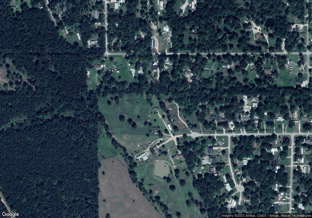
Map
Nearby Homes
- 17230 Pioneer Trail
- 307 Springfield Terrace Dr
- 16889 Springfield Dr
- 16922 Needlepoint Dr
- 17014 Hazelnut Dr
- 16934 Needlepoint Dr
- 16994 Hazelnut Dr
- 16980 Hazelnut Dr
- 16976 Hazelnut Dr
- 16905 Needlepoint Dr
- 16891 Needlepoint Dr
- 16296 Lone Star Ranch Dr
- 16964 Hazelnut Dr
- 16875 Needlepoint Dr
- 16866 Needlepoint Dr
- 16912 Hazelnut Dr
- 16916 Hazelnut Dr
- 16908 Hazelnut Dr
- 16904 Hazelnut Dr
- 16905 Hazelnut Dr
- 17343 Western Hill Dr
- 17332 Western Hill Dr
- 16910 Deep Woods Trail
- 17004 Deep Woods Trail
- 16860 Deep Woods Trail
- 16850 Deep Woods Trail
- 16987 Deep Woods Trail
- 17354 Western Hill Dr
- 17080 Deep Woods Trail
- 16911 Deep Woods Trail
- 15732 Buggy Ln
- 17379 Western Hill Dr
- 17390 Western Hill Dr
- 17397 Western Hill Dr
- 17403 Western Hill Dr
- 17190 Deep Woods Trail
- 16967 Pioneer Trail
- 15756 Buggy Ln
- 17133 Deep Woods Trail
- 15449 Willowisp Trail