17341 S Dairy Loop Wasilla, AK 99623
Estimated Value: $70,000 - $104,000
--
Bed
--
Bath
320
Sq Ft
$272/Sq Ft
Est. Value
About This Home
This home is located at 17341 S Dairy Loop, Wasilla, AK 99623 and is currently estimated at $86,979, approximately $271 per square foot. 17341 S Dairy Loop is a home with nearby schools including Dena'ina Elementary School and Joe Redington Senior Junior/Senior High School.
Ownership History
Date
Name
Owned For
Owner Type
Purchase Details
Closed on
May 4, 2012
Sold by
Alaska Mental Health Trust Authority
Bought by
Kendall Paul and Piccioni Jonathan
Current Estimated Value
Purchase Details
Closed on
Jan 24, 2006
Sold by
The Alaska Mental Health Trust Authority
Bought by
Kendall Paul and Piccioni Jonathan
Home Financials for this Owner
Home Financials are based on the most recent Mortgage that was taken out on this home.
Original Mortgage
$40,225
Interest Rate
6.28%
Mortgage Type
Seller Take Back
Create a Home Valuation Report for This Property
The Home Valuation Report is an in-depth analysis detailing your home's value as well as a comparison with similar homes in the area
Home Values in the Area
Average Home Value in this Area
Purchase History
| Date | Buyer | Sale Price | Title Company |
|---|---|---|---|
| Kendall Paul | -- | None Available | |
| Kendall Paul | $40,225 | None Available |
Source: Public Records
Mortgage History
| Date | Status | Borrower | Loan Amount |
|---|---|---|---|
| Previous Owner | Kendall Paul | $40,225 |
Source: Public Records
Tax History Compared to Growth
Tax History
| Year | Tax Paid | Tax Assessment Tax Assessment Total Assessment is a certain percentage of the fair market value that is determined by local assessors to be the total taxable value of land and additions on the property. | Land | Improvement |
|---|---|---|---|---|
| 2025 | $471 | $42,000 | $29,800 | $12,200 |
| 2024 | $471 | $41,600 | $29,800 | $11,800 |
| 2023 | $434 | $39,500 | $29,800 | $9,700 |
| 2022 | $475 | $39,500 | $29,800 | $9,700 |
| 2021 | $513 | $38,600 | $29,800 | $8,800 |
| 2020 | $539 | $39,200 | $29,800 | $9,400 |
| 2019 | $550 | $39,600 | $29,800 | $9,800 |
| 2018 | $553 | $40,100 | $29,800 | $10,300 |
| 2017 | $559 | $40,500 | $29,800 | $10,700 |
| 2016 | $299 | $22,300 | $11,000 | $11,300 |
| 2015 | $318 | $22,700 | $11,000 | $11,700 |
| 2014 | $318 | $23,300 | $11,000 | $12,300 |
Source: Public Records
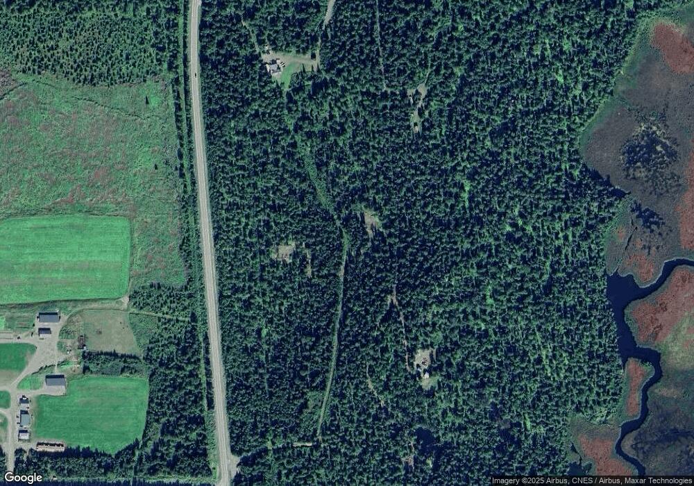
Map
Nearby Homes
- 18226 S Guernsey Rd
- 22481 W Point MacKenzie Rd
- 17275 S Moose Haven Cir
- 15068 Brown Swiss Rd
- B003 Point MacKenzie Rd
- Isas Gemelas Unit 19B
- 000 Isas Gemelas Lot 19b
- 22235 S Twin Island Dr
- Parcel D2 Cook Inlet (No Road)
- Parcel D1
- 0000 Trail On Point MacKenzie
- L45 Trail On Point MacKenzie
- L 44 Trail On Point MacKenzie
- 19652 W Blue Goose Rd
- 11695 S Burma Rd
- 12923 Goose Creek Rd
- 21325 W Moore Rd
- 13024 Goose Creek Rd
- 17562 W Bluebill Ave
- 21515 W Loc Lohmand Dr
- 17497 Dairy Loop
- 17261 S Dairy Loop
- 17120 S Dairy Loop
- 16792 S Dairy Loop
- 17207 S Dairy Loop
- 17686 S Dairy Loop
- 17022 Dairy Loop
- 16723 S Dairy Loop
- 16843 Dairy Loop
- 16554 Dairy Loop
- 16607 S Dairy Loop
- L1 B3 Heifer Dr
- 16987 Dairy Loop
- L3 B1 Dairy Loop
- 18391 Dairy Loop
- 17572 Dairy Loop
- 11 S Mackenzie
- 000 Pt MacKenzie
- 18110 S Dairy Loop
- 42234 S Dairy