1735 Boulder Ridge Ct Unit 232 Reno, NV 89523
Somersett NeighborhoodEstimated Value: $294,000 - $412,000
--
Bed
--
Bath
--
Sq Ft
0.73
Acres
About This Home
This home is located at 1735 Boulder Ridge Ct Unit 232, Reno, NV 89523 and is currently estimated at $353,000. 1735 Boulder Ridge Ct Unit 232 is a home located in Washoe County with nearby schools including B D Billinghurst Middle School and Robert McQueen High School.
Ownership History
Date
Name
Owned For
Owner Type
Purchase Details
Closed on
May 9, 2023
Sold by
Boulder Ridge 6 Llc
Bought by
White Fir Water Llc
Current Estimated Value
Purchase Details
Closed on
May 28, 2020
Sold by
Toll North Reno Llc
Bought by
Rt Merchant Llc
Purchase Details
Closed on
Nov 29, 2010
Sold by
Somersett Development Company Ltd
Bought by
Toll North Reno Llc
Create a Home Valuation Report for This Property
The Home Valuation Report is an in-depth analysis detailing your home's value as well as a comparison with similar homes in the area
Home Values in the Area
Average Home Value in this Area
Purchase History
| Date | Buyer | Sale Price | Title Company |
|---|---|---|---|
| White Fir Water Llc | $400,000 | Ticor Title | |
| Rt Merchant Llc | $805,000 | Ticor Title Reno | |
| Toll North Reno Llc | $1,050,000 | Ticor Title Reno |
Source: Public Records
Tax History Compared to Growth
Tax History
| Year | Tax Paid | Tax Assessment Tax Assessment Total Assessment is a certain percentage of the fair market value that is determined by local assessors to be the total taxable value of land and additions on the property. | Land | Improvement |
|---|---|---|---|---|
| 2025 | $997 | $93,796 | $92,750 | $1,046 |
| 2024 | $997 | $85,117 | $84,000 | $1,117 |
| 2023 | $922 | $84,115 | $83,125 | $990 |
| 2022 | $854 | $70,805 | $70,000 | $805 |
| 2021 | $791 | $53,332 | $52,500 | $832 |
| 2020 | $742 | $55,101 | $54,250 | $851 |
| 2019 | $373 | $38,814 | $37,975 | $839 |
| 2018 | $356 | $32,737 | $31,850 | $887 |
| 2017 | $342 | $30,276 | $29,400 | $876 |
| 2016 | $333 | $18,387 | $17,500 | $887 |
| 2015 | $332 | $13,680 | $12,250 | $1,430 |
| 2014 | $322 | $8,792 | $7,875 | $917 |
| 2013 | -- | $8,795 | $7,875 | $920 |
Source: Public Records
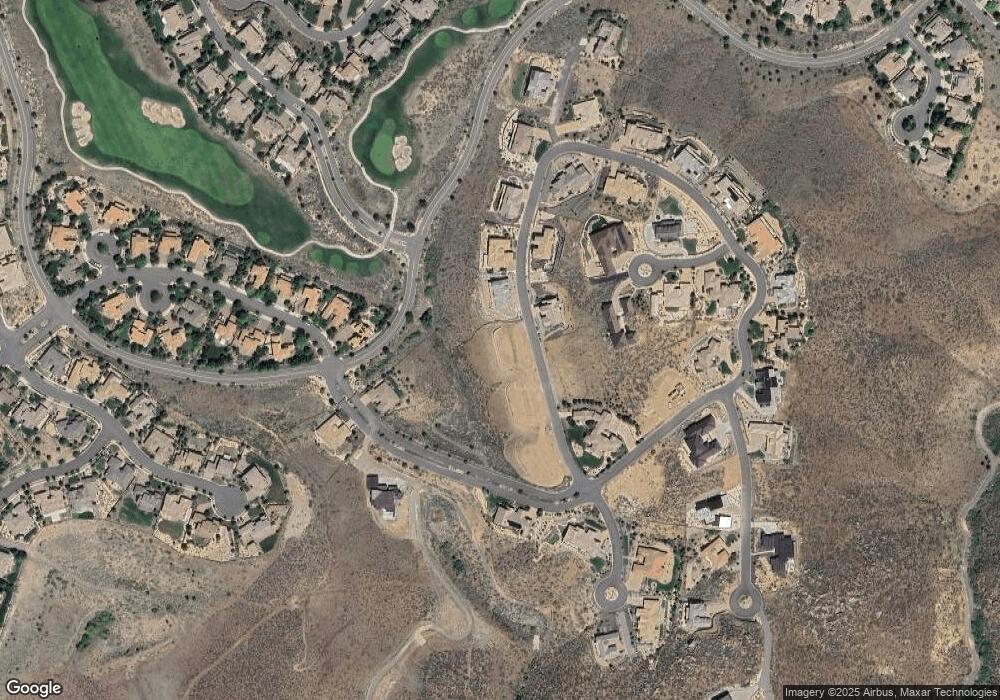
Map
Nearby Homes
- 1800 Laurel Ridge Dr
- 8360 Cinnamon Ridge Ln
- 8310 Cinnamon Ridge Ln
- 1825 Stone Pointe Dr
- 1840 Laurel Ridge Dr
- 1845 Graysburg Dr
- 480 Gooseberry Dr
- 8200 Antler Pointe Ct
- 1610 Verdi Vista Ct
- 7867 Morgan Pointe Cir
- 1725 Verdi Vista Ct
- 285 Lemming Dr
- 1065 Udowski Unit Homesite 52
- 2195 Candle Rock Ct
- 1060 Udowski Unit Homesite 60
- 1070 Udowski Unit Homesite 61
- 1080 Udowski Unit Homesite 62
- 150 Mule Deer Dr
- 1593 River Hill Way
- 8750 Lost Creek Ct
- 1735 Boulder Ridge Ct
- 1725 Boulder Ridge Ct
- 1725 Boulder Ridge Ct Unit 233
- 1720 Boulder Ridge Trail
- 1720 Boulder Ridge Trail Unit 237
- 1740 Boulder Ridge Ct
- 1740 Boulder Ridge Ct Unit 238
- 1745 Boulder Ridge Trail
- 1705 Sharpe Hill Cir
- 1705 Boulder Ridge Ct
- 1705 Boulder Ridge Ct Unit 234
- 8220 Standing Stone Cir
- 1760 Boulder Ridge Trail
- 1760 Boulder Ridge Trail Unit 239
- 1755 Boulder Ridge Trail
- 1755 Boulder Ridge Trail Unit LOT 230
- 1725 Sharpe Hill Cir
- 1725 Sharpe Hill Cir Unit 248
- 1760 Boulder Ridge Ct
- 8385 Split Rock Trail