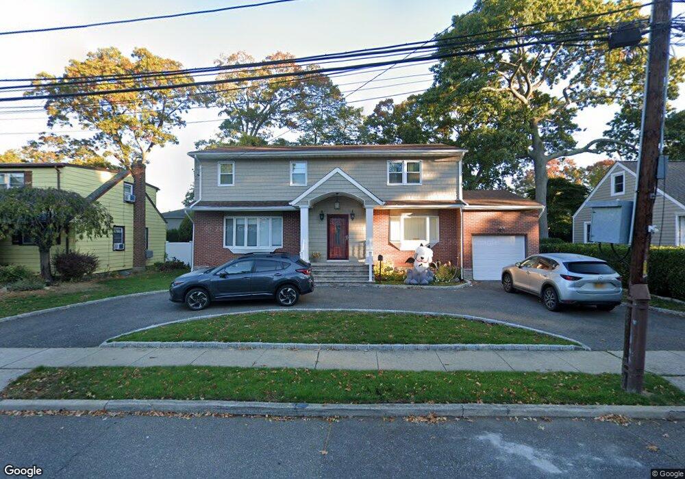
1735 Carroll Ave Merrick, NY 11566
Estimated Value: $969,000 - $990,529
5
Beds
3
Baths
2,400
Sq Ft
$408/Sq Ft
Est. Value
About This Home
This home is located at 1735 Carroll Ave, Merrick, NY 11566 and is currently estimated at $979,765, approximately $408 per square foot. 1735 Carroll Ave is a home located in Nassau County with nearby schools including Merrick Avenue Middle School, Sanford H Calhoun High School, and Grace Christian Academy.
Ownership History
Date
Name
Owned For
Owner Type
Purchase Details
Closed on
Dec 21, 2021
Sold by
Edayadi Alexander and Edayadi Jimsey
Bought by
Perlish Jeffrey D and Conrad Allyson C
Current Estimated Value
Home Financials for this Owner
Home Financials are based on the most recent Mortgage that was taken out on this home.
Original Mortgage
$400,000
Outstanding Balance
$367,944
Interest Rate
3.12%
Mortgage Type
New Conventional
Estimated Equity
$611,821
Purchase Details
Closed on
Mar 2, 2006
Sold by
Chacko Geevarghese
Bought by
Edayadi Alexander
Create a Home Valuation Report for This Property
The Home Valuation Report is an in-depth analysis detailing your home's value as well as a comparison with similar homes in the area
Home Values in the Area
Average Home Value in this Area
Purchase History
| Date | Buyer | Sale Price | Title Company |
|---|---|---|---|
| Perlish Jeffrey D | $820,000 | None Available | |
| Perlish Jeffrey D | $820,000 | None Available | |
| Edayadi Alexander | $580,000 | -- | |
| Edayadi Alexander | $580,000 | -- |
Source: Public Records
Mortgage History
| Date | Status | Borrower | Loan Amount |
|---|---|---|---|
| Open | Perlish Jeffrey D | $400,000 | |
| Closed | Perlish Jeffrey D | $400,000 |
Source: Public Records
Tax History Compared to Growth
Tax History
| Year | Tax Paid | Tax Assessment Tax Assessment Total Assessment is a certain percentage of the fair market value that is determined by local assessors to be the total taxable value of land and additions on the property. | Land | Improvement |
|---|---|---|---|---|
| 2025 | $18,419 | $636 | $202 | $434 |
| 2024 | $5,322 | $720 | $229 | $491 |
| 2023 | $18,065 | $713 | $226 | $487 |
| 2022 | $18,065 | $720 | $229 | $491 |
| 2021 | $24,029 | $700 | $222 | $478 |
| 2020 | $16,341 | $878 | $587 | $291 |
| 2019 | $4,588 | $940 | $463 | $477 |
| 2018 | $10,485 | $1,274 | $0 | $0 |
| 2017 | $12,749 | $1,274 | $628 | $646 |
| 2016 | $18,449 | $1,274 | $628 | $646 |
| 2015 | $5,261 | $1,274 | $628 | $646 |
| 2014 | $5,261 | $1,274 | $628 | $646 |
| 2013 | $4,915 | $1,274 | $628 | $646 |
Source: Public Records
Map
Nearby Homes
- 1707 Carroll Ave
- 1729 Gormley Ave
- 1938 Meadowbrook Rd
- 1824 Gildersleeve St
- 1772 Rose St
- 1922 Horatio Ave
- 96 Thelma Ave
- 1800 Remson Ave
- 1741 Pettit Ave
- 1910 Adair Place
- 49 Elizabeth St
- 1931 Miller Place
- 451 Babylon Turnpike
- 78 Jesse St
- 12 Washington Dr
- 25 Babylon Turnpike
- 2 Garfield St
- 19 Margaret Blvd
- 251 Grand Ave
- 33 Willow Ave
- 1733 Carroll Ave
- 1737 Carroll Ave
- 1732 Frederick Ave
- 1738 Frederick Ave
- 1717 Carroll Ave Unit 17
- 1724 Frederick Ave
- 1928 State St
- 1742 Frederick Ave
- 1713 Carroll Ave
- 9 Carroll Ave
- 1718 Frederick Ave
- 1910 State St
- 1742 Carroll Ave
- 1720 Carroll Ave
- 7 Carroll Ave
- 1748 Carroll Ave
- 1714 Frederick Ave
- 1716 Carroll Ave
- 1929 State St
- 1735 Gormley Ave