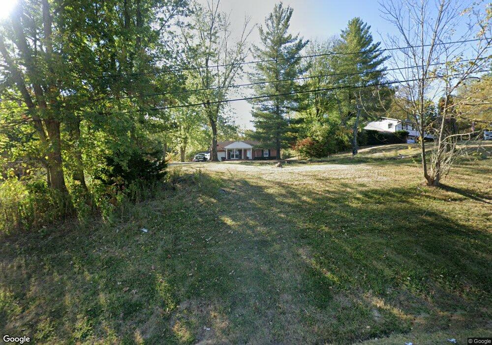
1735 E Us Highway 22 and 3 Morrow, OH 45152
Hamilton Township NeighborhoodEstimated Value: $300,697 - $332,000
3
Beds
2
Baths
1,344
Sq Ft
$237/Sq Ft
Est. Value
About This Home
This home is located at 1735 E Us Highway 22 and 3, Morrow, OH 45152 and is currently estimated at $318,674, approximately $237 per square foot. 1735 E Us Highway 22 and 3 is a home located in Warren County with nearby schools including Little Miami Early Childhood Center, Little Miami Intermediate Middle School, and Little Miami Middle School.
Ownership History
Date
Name
Owned For
Owner Type
Purchase Details
Closed on
Jan 7, 2014
Sold by
Fannie Mae
Bought by
Clark Mike and Clark Tina
Current Estimated Value
Purchase Details
Closed on
Jan 7, 2013
Sold by
Rose Joel M
Bought by
Federal National Mortgage Association
Purchase Details
Closed on
Aug 31, 2006
Sold by
Raisor Roy C and Raisor Beverlee S
Bought by
Rose Joel M
Home Financials for this Owner
Home Financials are based on the most recent Mortgage that was taken out on this home.
Original Mortgage
$156,000
Interest Rate
6.7%
Mortgage Type
Purchase Money Mortgage
Purchase Details
Closed on
Mar 21, 1979
Sold by
Runck Runck and Runck Roger
Create a Home Valuation Report for This Property
The Home Valuation Report is an in-depth analysis detailing your home's value as well as a comparison with similar homes in the area
Home Values in the Area
Average Home Value in this Area
Purchase History
| Date | Buyer | Sale Price | Title Company |
|---|---|---|---|
| Clark Mike | -- | None Available | |
| Federal National Mortgage Association | $142,640 | None Available | |
| Rose Joel M | $156,000 | None Available | |
| -- | $48,000 | -- |
Source: Public Records
Mortgage History
| Date | Status | Borrower | Loan Amount |
|---|---|---|---|
| Previous Owner | Rose Joel M | $156,000 |
Source: Public Records
Tax History Compared to Growth
Tax History
| Year | Tax Paid | Tax Assessment Tax Assessment Total Assessment is a certain percentage of the fair market value that is determined by local assessors to be the total taxable value of land and additions on the property. | Land | Improvement |
|---|---|---|---|---|
| 2024 | $3,363 | $73,850 | $20,090 | $53,760 |
| 2023 | $2,987 | $60,046 | $12,355 | $47,691 |
| 2022 | $2,953 | $60,046 | $12,355 | $47,691 |
| 2021 | $2,815 | $60,046 | $12,355 | $47,691 |
| 2020 | $2,680 | $48,818 | $10,045 | $38,773 |
| 2019 | $2,725 | $48,818 | $10,045 | $38,773 |
| 2018 | $2,659 | $48,818 | $10,045 | $38,773 |
| 2017 | $2,405 | $44,233 | $9,240 | $34,993 |
| 2016 | $2,463 | $44,233 | $9,240 | $34,993 |
| 2015 | $2,462 | $44,233 | $9,240 | $34,993 |
| 2014 | $2,577 | $39,750 | $8,400 | $31,350 |
| 2013 | $2,454 | $47,540 | $10,050 | $37,490 |
Source: Public Records
Map
Nearby Homes
- 5518 Chancellor Ln
- 5253 Secretariat Dr
- 1835 Chardonnay Dr
- 5320 Man o War Dr
- 920 Pondside Ln
- 5004 Ross Ridge
- 5651 Shetland Ct
- 2661 Unbridled Way
- 5004 Ross Ridge Rd
- 1870 Ford Rd
- 5617 Appaloosa Cir
- 5079 Ross Ridge
- 5234 Highmeadow Place
- 5079 Ross Ridge Rd
- 5527 Appaloosa Cir
- 5521 Appaloosa Cir
- BEACHWOOD Plan at Highmeadow
- SARASOTA Plan at Highmeadow
- ALWICK Plan at Highmeadow
- ALEXANDER Plan at Highmeadow
- 1735 E U S 22
- 1753 E Us Highway 22 and 3
- 1693 E Us Highway 22 and 3
- 1732 E Us Highway 22 and 3
- 1659 E Us Highway 22 and 3
- A Us Rt 22 & 3
- 1660 E Us Highway 22 and 3
- 1798 E Us Highway 22 and 3
- 1827 E Us Highway 22 and 3
- 1660 Us Rt 22 & 3 Unit 2
- 1660 Us Rt 22 & 3
- 1583 E Us Highway 22 and 3
- 5603 Chancellor Ln
- 5621 Chancellor Ln
- 5643 Chancellor Ln
- 5587 Chancellor Ln
- 5557 Chancellor Ln
- 5683 Chancellor Ln
- 5523 Chancellor Ln
- 5586 Chancellor Ln