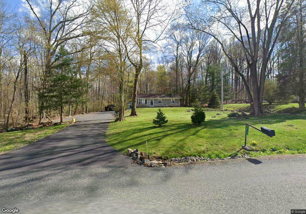
1735 Kumry Rd Quakertown, PA 18951
Milford-Quakertown NeighborhoodEstimated Value: $310,000 - $411,000
3
Beds
2
Baths
1,118
Sq Ft
$312/Sq Ft
Est. Value
About This Home
This home is located at 1735 Kumry Rd, Quakertown, PA 18951 and is currently estimated at $348,673, approximately $311 per square foot. 1735 Kumry Rd is a home located in Bucks County with nearby schools including Pfaff Elementary School, Quakertown Community Senior High School, and Faith Christian Academy 7-12th.
Ownership History
Date
Name
Owned For
Owner Type
Purchase Details
Closed on
Aug 12, 2011
Sold by
Mease Marilyn L
Bought by
Mertz Richard W and Mertz Cheryl A
Current Estimated Value
Home Financials for this Owner
Home Financials are based on the most recent Mortgage that was taken out on this home.
Original Mortgage
$80,000
Outstanding Balance
$55,520
Interest Rate
4.62%
Mortgage Type
New Conventional
Estimated Equity
$293,153
Purchase Details
Closed on
Dec 30, 1980
Bought by
Fox Terrance D
Create a Home Valuation Report for This Property
The Home Valuation Report is an in-depth analysis detailing your home's value as well as a comparison with similar homes in the area
Home Values in the Area
Average Home Value in this Area
Purchase History
| Date | Buyer | Sale Price | Title Company |
|---|---|---|---|
| Mertz Richard W | $185,000 | Title Services | |
| Fox Terrance D | -- | -- |
Source: Public Records
Mortgage History
| Date | Status | Borrower | Loan Amount |
|---|---|---|---|
| Open | Mertz Richard W | $80,000 |
Source: Public Records
Tax History Compared to Growth
Tax History
| Year | Tax Paid | Tax Assessment Tax Assessment Total Assessment is a certain percentage of the fair market value that is determined by local assessors to be the total taxable value of land and additions on the property. | Land | Improvement |
|---|---|---|---|---|
| 2025 | $3,307 | $16,400 | $2,520 | $13,880 |
| 2024 | $3,307 | $16,400 | $2,520 | $13,880 |
| 2023 | $3,274 | $16,400 | $2,520 | $13,880 |
| 2022 | $3,219 | $16,400 | $2,520 | $13,880 |
| 2021 | $3,219 | $16,400 | $2,520 | $13,880 |
| 2020 | $3,219 | $16,400 | $2,520 | $13,880 |
| 2019 | $3,130 | $16,400 | $2,520 | $13,880 |
| 2018 | $3,021 | $16,400 | $2,520 | $13,880 |
| 2017 | $2,928 | $16,400 | $2,520 | $13,880 |
| 2016 | $2,928 | $16,400 | $2,520 | $13,880 |
| 2015 | -- | $16,400 | $2,520 | $13,880 |
| 2014 | -- | $16,400 | $2,520 | $13,880 |
Source: Public Records
Map
Nearby Homes
- 1715 Kumry Rd
- 1690 Kumry Rd
- 0 Krammes Rd Unit PABU2104522
- 1625 Canary Rd
- 1615 Canary Rd
- 1605 Canary Rd
- 1730 Fels Rd
- 2120 Brinkman Rd
- 1370 Kumry Rd
- 1926 Alamingo Dr
- 1999 Crossing Way
- 1410 Fels Rd
- 1365 Fennel Rd
- 1813 Sycamore Dr
- 2070 Trumbauersville Rd
- 1765 Old Plains Rd
- 2255 Spinnerstown Rd
- 1844 Enclave Dr
- 444 Enclave Dr Unit COVINGTON
- 444 Enclave Dr Unit DEVONSHIRE