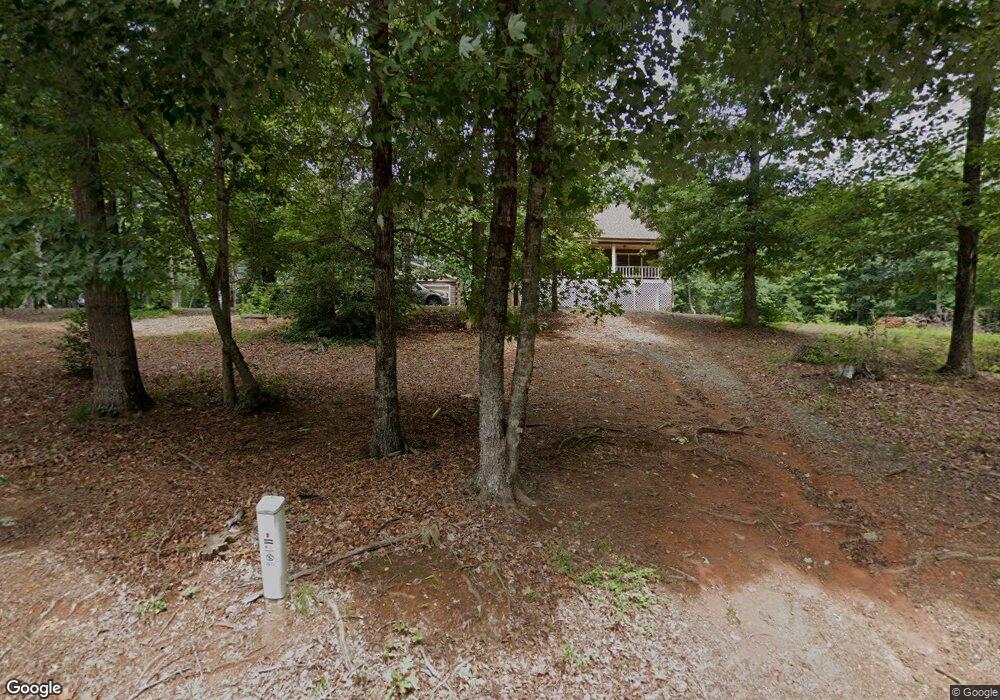
1735 Tellis Ln Morganton, NC 28655
Estimated Value: $320,000 - $365,000
3
Beds
2
Baths
1,404
Sq Ft
$241/Sq Ft
Est. Value
About This Home
This home is located at 1735 Tellis Ln, Morganton, NC 28655 and is currently estimated at $338,048, approximately $240 per square foot. 1735 Tellis Ln is a home located in Burke County with nearby schools including Oak Hill Elementary School, Table Rock Middle School, and Freedom High School.
Ownership History
Date
Name
Owned For
Owner Type
Purchase Details
Closed on
Sep 4, 2009
Sold by
Owens Hannie Whisenant
Bought by
Reece Dustyn K
Current Estimated Value
Home Financials for this Owner
Home Financials are based on the most recent Mortgage that was taken out on this home.
Original Mortgage
$153,000
Outstanding Balance
$99,807
Interest Rate
5.14%
Mortgage Type
New Conventional
Estimated Equity
$238,241
Create a Home Valuation Report for This Property
The Home Valuation Report is an in-depth analysis detailing your home's value as well as a comparison with similar homes in the area
Home Values in the Area
Average Home Value in this Area
Purchase History
| Date | Buyer | Sale Price | Title Company |
|---|---|---|---|
| Reece Dustyn K | $150,000 | None Available |
Source: Public Records
Mortgage History
| Date | Status | Borrower | Loan Amount |
|---|---|---|---|
| Open | Reece Dustyn K | $153,000 |
Source: Public Records
Tax History Compared to Growth
Tax History
| Year | Tax Paid | Tax Assessment Tax Assessment Total Assessment is a certain percentage of the fair market value that is determined by local assessors to be the total taxable value of land and additions on the property. | Land | Improvement |
|---|---|---|---|---|
| 2025 | $1,448 | $213,578 | $37,794 | $175,784 |
| 2024 | $1,455 | $213,578 | $37,794 | $175,784 |
| 2023 | $1,455 | $213,578 | $37,794 | $175,784 |
| 2022 | $1,306 | $155,958 | $32,668 | $123,290 |
| 2021 | $1,300 | $155,958 | $32,668 | $123,290 |
| 2020 | $1,296 | $155,958 | $32,668 | $123,290 |
| 2019 | $1,296 | $155,958 | $32,668 | $123,290 |
| 2018 | $1,286 | $154,605 | $32,668 | $121,937 |
| 2017 | $1,284 | $154,605 | $32,668 | $121,937 |
| 2016 | $1,255 | $154,605 | $32,668 | $121,937 |
| 2015 | $1,252 | $154,605 | $32,668 | $121,937 |
| 2014 | $1,251 | $154,605 | $32,668 | $121,937 |
| 2013 | $1,236 | $154,605 | $32,668 | $121,937 |
Source: Public Records
Map
Nearby Homes
- 3620 Lake Dr
- 3577 Lake Dr Unit 26
- 3639 Lake Dr Unit 25
- 3076 Hunters Ridge Ct
- 1926 Timber Trace Unit 4
- 3494 Lake Dr Unit 17
- 3486 Lake Dr Unit 16
- 3164 Lake Dr Unit Lot 3
- 3163 Lake Dr Unit 53 & 52
- 3188 Lake Dr Unit 4
- 2616 Carl Freeman Ave Unit 20
- 2616 Carl Freeman Ave Unit 3
- 2257 E Wade Ave
- 2576 Henderson Mill Rd
- 2423 Warrior Fork Trail
- 3026 Coventry Dr
- 2765 Hollybrook Ln
- 2401 Nc 181
- 1364 Oak Hill Dr
- 0 Oak Forest Dr
- 1788 Tellis Ln
- 1686 Tellis Ln
- 1792 Tellis Ln
- 3244 Nc 181
- 2238 South Rd Unit 38
- 2182 South Rd Unit 36
- 2212 South Rd
- 2266 South Rd Unit 39
- 3257 Nc 181
- 3263 Nc 181
- 3271 Nc 181
- 3269 Nc 181
- 1687 Goodman Lake Rd
- 2156 South Rd Unit 35
- 1636 Tellis Ln
- 2130 South Rd Unit 34
- 3232 Nc 181 Unit 3234
- 1849 Timber Trace
- 3632 Lake Dr
- 3632 Lake Dr Unit 24