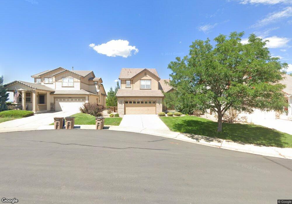
17353 E Fair Ln Aurora, CO 80016
The Farm-Arapahoe NeighborhoodEstimated Value: $637,546 - $692,000
5
Beds
4
Baths
2,220
Sq Ft
$296/Sq Ft
Est. Value
About This Home
This home is located at 17353 E Fair Ln, Aurora, CO 80016 and is currently estimated at $657,637, approximately $296 per square foot. 17353 E Fair Ln is a home located in Arapahoe County with nearby schools including Fox Hollow Elementary School, Liberty Middle School, and Grandview High School.
Ownership History
Date
Name
Owned For
Owner Type
Purchase Details
Closed on
Jan 14, 2015
Sold by
Ocansey Joseph Henry
Bought by
Howard Amanda
Current Estimated Value
Purchase Details
Closed on
Nov 10, 2003
Sold by
Richmond American Homes Of Colorado Inc
Bought by
Ocansey Joseph Henry and Howard Ocansey Amanda
Home Financials for this Owner
Home Financials are based on the most recent Mortgage that was taken out on this home.
Original Mortgage
$264,950
Interest Rate
5.93%
Mortgage Type
Purchase Money Mortgage
Create a Home Valuation Report for This Property
The Home Valuation Report is an in-depth analysis detailing your home's value as well as a comparison with similar homes in the area
Home Values in the Area
Average Home Value in this Area
Purchase History
| Date | Buyer | Sale Price | Title Company |
|---|---|---|---|
| Howard Amanda | -- | None Available | |
| Ocansey Joseph Henry | $273,000 | -- |
Source: Public Records
Mortgage History
| Date | Status | Borrower | Loan Amount |
|---|---|---|---|
| Previous Owner | Ocansey Joseph Henry | $264,950 |
Source: Public Records
Tax History
| Year | Tax Paid | Tax Assessment Tax Assessment Total Assessment is a certain percentage of the fair market value that is determined by local assessors to be the total taxable value of land and additions on the property. | Land | Improvement |
|---|---|---|---|---|
| 2025 | $4,729 | $40,463 | -- | -- |
| 2024 | $4,269 | $39,456 | -- | -- |
| 2023 | $4,269 | $39,456 | $0 | $0 |
| 2022 | $3,747 | $32,387 | $0 | $0 |
| 2021 | $3,774 | $32,387 | $0 | $0 |
| 2020 | $3,827 | $0 | $0 | $0 |
| 2019 | $3,813 | $32,976 | $0 | $0 |
| 2018 | $3,519 | $29,074 | $0 | $0 |
| 2017 | $3,465 | $29,074 | $0 | $0 |
| 2016 | $3,400 | $25,870 | $0 | $0 |
| 2015 | $3,278 | $25,870 | $0 | $0 |
| 2014 | -- | $22,415 | $0 | $0 |
| 2013 | -- | $23,060 | $0 | $0 |
Source: Public Records
Map
Nearby Homes
- 6141 S Richfield Ct
- 17705 E Oakwood Ln
- 6373 S Richfield St
- 6412 S Sedalia St
- 17672 E Weaver Place
- 17613 E Peakview Ave
- 16866 E Peakview Ave
- 5776 S Truckee Ct
- 5752 S Ouray Ct
- 6102 S Yampa St
- 6540 S Uravan Ct
- 6598 S Telluride St
- 5987 S Yampa St
- 6368 S Walden Way
- 17013 E Berry Place
- 16639 E Berry Ln
- 6886 S Pitkin St
- 17529 E Crestridge Ave
- 5462 S Ventura Ct
- 15746 E Aberdeen Ave
- 17323 E Fair Ln
- 17383 E Fair Ln
- 6161 S Richfield Ct
- 6171 S Richfield Ct
- 6151 S Richfield Ct
- 6194 S Rifle St
- 17324 E Fair Ln
- 6184 S Rifle St
- 17354 E Fair Ln
- 6206 S Rifle St
- 17384 E Fair Ln
- 6174 S Rifle St
- 6236 S Rifle St
- 6131 S Richfield Ct
- 6164 S Rifle St
- 6266 S Rifle St
- 6172 S Richfield Ct
- 6152 S Richfield Ct
- 6121 S Richfield Ct
- 6191 S Salida Ct
Your Personal Tour Guide
Ask me questions while you tour the home.