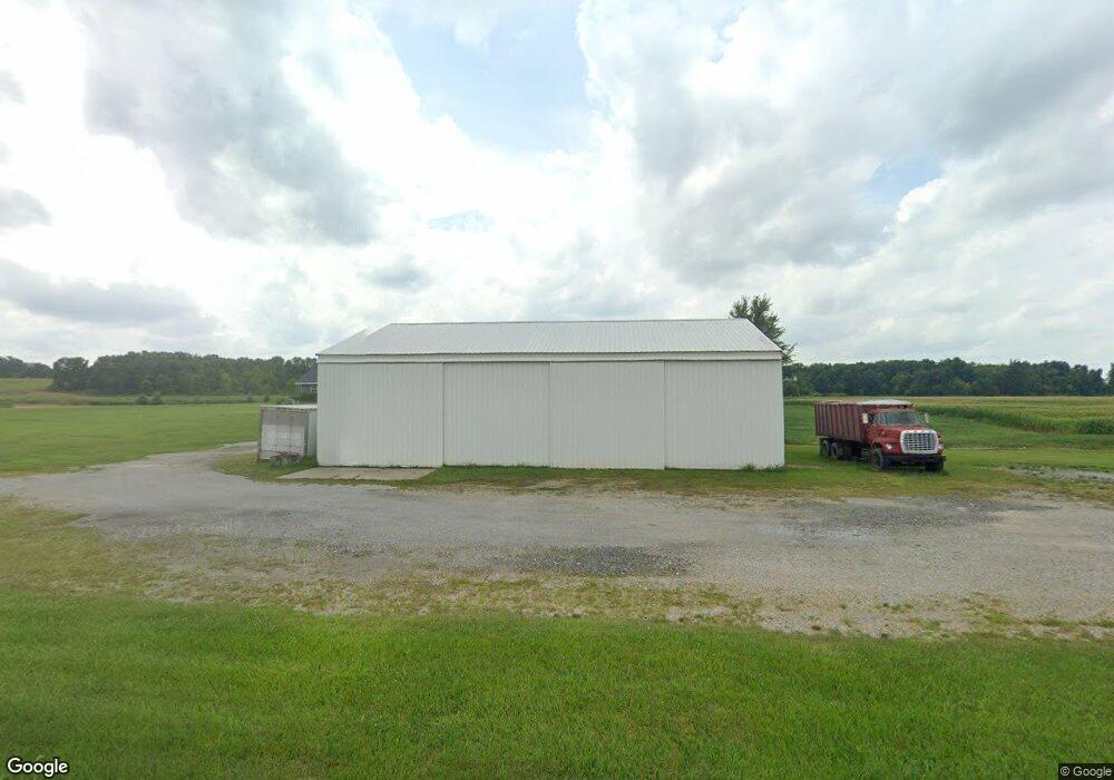
Estimated Value: $200,000 - $323,674
2
Beds
2
Baths
1,500
Sq Ft
$175/Sq Ft
Est. Value
About This Home
This home is located at 17357 State Route 49, Edon, OH 43518 and is currently estimated at $261,837, approximately $174 per square foot. 17357 State Route 49 is a home located in Williams County with nearby schools including Edon Elementary School.
Ownership History
Date
Name
Owned For
Owner Type
Purchase Details
Closed on
Sep 14, 2022
Sold by
Armbruster Sarah L and Armbruster Mikayla
Bought by
Armbruster Stephanie Jo
Current Estimated Value
Purchase Details
Closed on
Jul 3, 2019
Sold by
Armbruster Charlotte
Bought by
Armbruster John
Purchase Details
Closed on
Apr 27, 1998
Sold by
Armbruster John E and Armbruster Charlotte A
Bought by
Armbruster John E and Armbruster Charlotte A
Purchase Details
Closed on
May 5, 1993
Sold by
Steinke Donald D and Steinke Ter
Bought by
Armbruster Steinke C and Armbruster O
Purchase Details
Closed on
Apr 27, 1993
Sold by
Pollex Steinke C and Pollex O
Bought by
Steinke Donald D and Steinke Ter
Purchase Details
Closed on
Feb 12, 1992
Bought by
Pollex Steinke C and Pollex O
Create a Home Valuation Report for This Property
The Home Valuation Report is an in-depth analysis detailing your home's value as well as a comparison with similar homes in the area
Purchase History
| Date | Buyer | Sale Price | Title Company |
|---|---|---|---|
| Armbruster Stephanie Jo | $125 | -- | |
| Armbruster Stephanie Jo | $125 | None Listed On Document | |
| Armbruster John | -- | None Available | |
| Armbruster John E | $33,000 | -- | |
| Armbruster Steinke C | $33,000 | -- | |
| Steinke Donald D | -- | -- | |
| Pollex Steinke C | $36,000 | -- |
Source: Public Records
Tax History Compared to Growth
Tax History
| Year | Tax Paid | Tax Assessment Tax Assessment Total Assessment is a certain percentage of the fair market value that is determined by local assessors to be the total taxable value of land and additions on the property. | Land | Improvement |
|---|---|---|---|---|
| 2024 | $3,419 | $95,870 | $15,330 | $80,540 |
| 2023 | $3,419 | $77,040 | $14,740 | $62,300 |
| 2022 | $3,203 | $77,040 | $14,740 | $62,300 |
| 2021 | $3,196 | $77,040 | $14,740 | $62,300 |
| 2020 | $2,789 | $64,510 | $12,600 | $51,910 |
| 2019 | $2,727 | $59,120 | $12,600 | $46,520 |
| 2018 | $2,538 | $59,120 | $12,600 | $46,520 |
| 2017 | $2,059 | $48,650 | $10,290 | $38,360 |
| 2016 | $1,177 | $48,650 | $10,290 | $38,360 |
| 2015 | $885 | $30,980 | $10,290 | $20,690 |
| 2014 | $885 | $21,740 | $10,290 | $11,450 |
| 2013 | $884 | $21,740 | $10,290 | $11,450 |
Source: Public Records
Map
Nearby Homes
- 18405 County Road 2-50
- 00 County Road 150
- 14828 Williams County Road 4
- 0 W Territorial Rd Unit 11603977
- 1827 Us Highway 20
- 13844 County Road 6
- 460 Seneca Dr
- 600 Seneca Dr
- 7208 County Road N30
- 623-624 Yuma Trail
- 638 Seneca Dr
- 988-989 Seneca Dr
- 207 Modoc Trail
- 234 Seneca Dr
- 7950 E 400 N
- 14934 Heather Ct
- 0 Pontiac Trail Unit 10001711
- 155 Navajo Trail
- 145 Lumbee Ln
- 2040 N 700 E
- 18417 Ohio 49
- 19072 Ohio 49
- 17054 State Route 49
- 4392 County Road Q
- 4392 County Road Q-50
- 3970 County Road Q
- 3896 County Road Q
- 4392 County Road Q50
- 17715 State Route 49
- 16989 State Route 49
- 17746 State Route 49
- 17761 State Route 49
- 16881 State Route 49
- 16940 State Route 49
- 16843 State Route 49
- 4539 C R Q-50
- 4539 Cr Q-50
- 3501 County Road Q
- 4539 County Road Q-50
- 4539 County Road Q50
