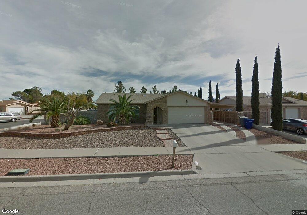
1736 Dean Martin Dr Unit 1 El Paso, TX 79936
O'Shea Keleher NeighborhoodEstimated Value: $215,000 - $253,000
3
Beds
2
Baths
1,700
Sq Ft
$134/Sq Ft
Est. Value
About This Home
This home is located at 1736 Dean Martin Dr Unit 1, El Paso, TX 79936 and is currently estimated at $228,553, approximately $134 per square foot. 1736 Dean Martin Dr Unit 1 is a home located in El Paso County with nearby schools including O'shea Keleher Elementary School, William D Slider Middle School, and Montwood High School.
Ownership History
Date
Name
Owned For
Owner Type
Purchase Details
Closed on
May 10, 2007
Sold by
Maldonado Adam R
Bought by
Williams Sandra
Current Estimated Value
Home Financials for this Owner
Home Financials are based on the most recent Mortgage that was taken out on this home.
Original Mortgage
$95,200
Outstanding Balance
$57,876
Interest Rate
6.16%
Mortgage Type
Purchase Money Mortgage
Estimated Equity
$170,677
Purchase Details
Closed on
May 9, 1994
Sold by
Va
Bought by
Marin Marco A and Marin Helga Gonzalez
Home Financials for this Owner
Home Financials are based on the most recent Mortgage that was taken out on this home.
Original Mortgage
$60,000
Interest Rate
8.4%
Mortgage Type
Seller Take Back
Create a Home Valuation Report for This Property
The Home Valuation Report is an in-depth analysis detailing your home's value as well as a comparison with similar homes in the area
Home Values in the Area
Average Home Value in this Area
Purchase History
| Date | Buyer | Sale Price | Title Company |
|---|---|---|---|
| Williams Sandra | -- | None Available | |
| Marin Marco A | -- | -- |
Source: Public Records
Mortgage History
| Date | Status | Borrower | Loan Amount |
|---|---|---|---|
| Open | Williams Sandra | $95,200 | |
| Previous Owner | Marin Marco A | $60,000 |
Source: Public Records
Tax History Compared to Growth
Tax History
| Year | Tax Paid | Tax Assessment Tax Assessment Total Assessment is a certain percentage of the fair market value that is determined by local assessors to be the total taxable value of land and additions on the property. | Land | Improvement |
|---|---|---|---|---|
| 2025 | $3,457 | $195,511 | -- | -- |
| 2024 | $3,457 | $177,737 | -- | -- |
| 2023 | $3,338 | $161,579 | $0 | $0 |
| 2022 | $4,254 | $146,890 | $0 | $0 |
| 2021 | $4,203 | $157,354 | $22,626 | $134,728 |
| 2020 | $3,853 | $121,396 | $18,268 | $103,128 |
| 2018 | $3,522 | $120,440 | $18,268 | $102,172 |
| 2017 | $3,148 | $110,201 | $18,268 | $91,933 |
| 2016 | $3,148 | $110,201 | $18,268 | $91,933 |
| 2015 | $2,795 | $110,201 | $18,268 | $91,933 |
| 2014 | $2,795 | $109,633 | $18,268 | $91,365 |
Source: Public Records
Map
Nearby Homes
- 11433 Bunky Henry Ln
- 1733 Karl Wyler Dr
- 11409 Bob Mitchell Dr
- 11401 Molly Marie Ct
- 3665 George Dieter Dr
- 3675 George Dieter Dr
- 3655 George Dieter Dr
- 11506 James Grant Dr
- 1639 Brian Ray Cir
- 1701 Leroy Bonse Dr
- 11539 Clear Lake Way
- 11325 Tom Ulozas Dr
- 11663 Clear Lake Way
- 11612 Bob Mitchell Dr
- 1690 Leroy Bonse Dr
- 1739 Jerry Abbott St
- 1804 Jerry Abbott St
- 1703 Robert Wynn St
- 11470 Ed Merrins Dr
- 11654 Bob Mitchell Dr
- 1736 Dean Martin Dr
- 1732 Dean Martin Dr
- 1741 Bing Crosby Dr
- 1728 Dean Martin Dr
- 1737 Bing Crosby Dr
- 11505 Bunky Henry Ln
- 11501 Bunky Henry Ln
- 1737 Dean Martin Dr
- 1733 Dean Martin Dr
- 1741 Dean Martin Dr
- 11509 Bunky Henry Ln
- 1733 Bing Crosby Dr
- 1724 Dean Martin Dr
- 1729 Dean Martin Dr
- 11457 Bunky Henry Ln
- 1725 Dean Martin Dr
- 11513 Bunky Henry Ln
- 1729 Bing Crosby Dr
- 1720 Dean Martin Dr
- 1720 Dean Martin Dr