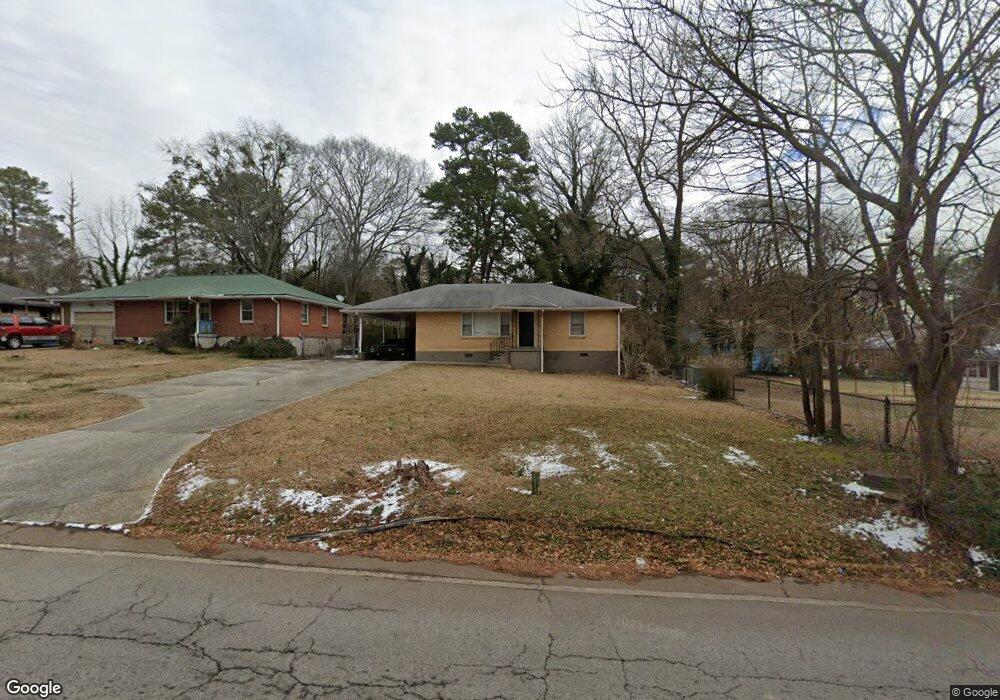
1736 Derrill Dr Unit 13 Decatur, GA 30032
Estimated Value: $194,275 - $220,000
3
Beds
1
Bath
1,056
Sq Ft
$193/Sq Ft
Est. Value
About This Home
This home is located at 1736 Derrill Dr Unit 13, Decatur, GA 30032 and is currently estimated at $204,319, approximately $193 per square foot. 1736 Derrill Dr Unit 13 is a home located in DeKalb County with nearby schools including Peachcrest Elementary School, Mary McLeod Bethune Middle School, and Towers High School.
Ownership History
Date
Name
Owned For
Owner Type
Purchase Details
Closed on
Dec 8, 2021
Sold by
Golaf Investments Llc
Bought by
Gretzky Ga Llc
Current Estimated Value
Purchase Details
Closed on
Nov 27, 2017
Sold by
Brs
Bought by
Golaf Investments Llc
Purchase Details
Closed on
Sep 1, 2016
Sold by
Grantopotamus Llc
Bought by
Brs Better Neighborhoods Inc
Purchase Details
Closed on
May 2, 2012
Sold by
Currie William T
Bought by
Grantopotamus Llc
Create a Home Valuation Report for This Property
The Home Valuation Report is an in-depth analysis detailing your home's value as well as a comparison with similar homes in the area
Home Values in the Area
Average Home Value in this Area
Purchase History
| Date | Buyer | Sale Price | Title Company |
|---|---|---|---|
| Gretzky Ga Llc | $2,954,559 | -- | |
| Golaf Investments Llc | $108,107 | -- | |
| Brs Better Neighborhoods Inc | $72,500 | -- | |
| Grantopotamus Llc | $17,000 | -- |
Source: Public Records
Tax History Compared to Growth
Tax History
| Year | Tax Paid | Tax Assessment Tax Assessment Total Assessment is a certain percentage of the fair market value that is determined by local assessors to be the total taxable value of land and additions on the property. | Land | Improvement |
|---|---|---|---|---|
| 2025 | $4,220 | $86,200 | $31,032 | $55,168 |
| 2024 | $4,217 | $86,200 | $31,040 | $55,160 |
| 2023 | $4,217 | $78,480 | $31,040 | $47,440 |
| 2022 | $3,635 | $75,040 | $21,160 | $53,880 |
| 2021 | $2,895 | $58,200 | $12,800 | $45,400 |
| 2020 | $2,588 | $51,200 | $12,800 | $38,400 |
| 2019 | $2,353 | $45,840 | $12,800 | $33,040 |
| 2018 | $1,635 | $43,240 | $12,040 | $31,200 |
| 2017 | $2,069 | $38,080 | $4,240 | $33,840 |
| 2016 | $1,041 | $15,840 | $4,240 | $11,600 |
| 2014 | $689 | $7,680 | $4,240 | $3,440 |
Source: Public Records
Map
Nearby Homes
- 1737 Mckenzie Dr
- 1761 Derrill Dr
- 1743 Thomas Terrace
- 1764 Thomas Terrace
- 2361 Lynn Lris Dr
- 1846 Shamrock Dr
- 1542 Columbia Dr
- 3089 Del Monico Dr
- 1520 Columbia Dr
- 3260 Glenco Dr
- 1853 Pinedale Place
- 1870 S Columbia Place
- 3314 Glenco Dr
- 1841 Glendale Dr
- 1529 N Columbia Place
- 3351 Phillip Cir
- 1609 Tanager Cir
- 1914 Derrill Dr
- 3367 Misty Valley Rd
- 1879 Rosewood Rd
- 1736 Derrill Dr
- 1730 Derrill Dr
- 1724 Derrill Dr
- 1736 Lynn Ln
- 1748 Lynn Ln
- 1752 Lynn Ln
- 1718 Derrill Dr
- 1731 Mckenzie Dr
- 1725 Thomas Terrace
- 1731 Derrill Dr
- 1727 Mckenzie Dr
- 1725 Derrill Dr
- 1714 Derrill Dr
- 1731 Thomas Terrace
- 1721 Mckenzie Dr
- 1719 Derrill Dr
- 1760 Derrill Dr
- 1761 Lynn Ln
- 1715 Derrill Dr
- 1715 Mckenzie Dr