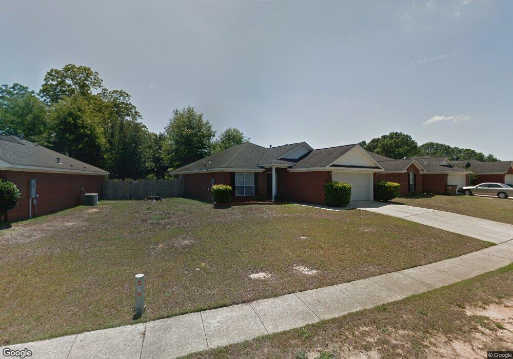
1736 Donham Dr Mobile, AL 36618
Colonial Heights NeighborhoodEstimated Value: $192,126 - $260,000
3
Beds
2
Baths
1,678
Sq Ft
$127/Sq Ft
Est. Value
About This Home
This home is located at 1736 Donham Dr, Mobile, AL 36618 and is currently estimated at $212,782, approximately $126 per square foot. 1736 Donham Dr is a home located in Mobile County with nearby schools including Orchard Elementary School, CL Scarborough Middle School, and Mattie T Blount High School.
Ownership History
Date
Name
Owned For
Owner Type
Purchase Details
Closed on
Feb 28, 2002
Sold by
Hamilton Homes Llc
Bought by
Phillips Don Ellis and Phillips Don E
Current Estimated Value
Home Financials for this Owner
Home Financials are based on the most recent Mortgage that was taken out on this home.
Original Mortgage
$120,547
Outstanding Balance
$49,966
Interest Rate
6.95%
Mortgage Type
FHA
Estimated Equity
$162,816
Create a Home Valuation Report for This Property
The Home Valuation Report is an in-depth analysis detailing your home's value as well as a comparison with similar homes in the area
Home Values in the Area
Average Home Value in this Area
Purchase History
| Date | Buyer | Sale Price | Title Company |
|---|---|---|---|
| Phillips Don Ellis | -- | Surety Land Title Inc |
Source: Public Records
Mortgage History
| Date | Status | Borrower | Loan Amount |
|---|---|---|---|
| Open | Phillips Don Ellis | $120,547 |
Source: Public Records
Tax History Compared to Growth
Tax History
| Year | Tax Paid | Tax Assessment Tax Assessment Total Assessment is a certain percentage of the fair market value that is determined by local assessors to be the total taxable value of land and additions on the property. | Land | Improvement |
|---|---|---|---|---|
| 2024 | $889 | $14,330 | $2,000 | $12,330 |
| 2023 | $854 | $12,110 | $2,000 | $10,110 |
| 2022 | $703 | $12,110 | $2,000 | $10,110 |
| 2021 | $722 | $12,400 | $2,000 | $10,400 |
| 2020 | $731 | $12,540 | $2,000 | $10,540 |
| 2019 | $654 | $11,360 | $0 | $0 |
| 2018 | $662 | $11,480 | $0 | $0 |
| 2017 | $694 | $11,980 | $0 | $0 |
| 2016 | $715 | $12,320 | $0 | $0 |
| 2013 | -- | $10,500 | $0 | $0 |
Source: Public Records
Map
Nearby Homes
- 1629 Carlisle Dr W
- 0 Hall Rd Unit 7635847
- 6513 Grace St
- 5850 Overlook Rd
- 0 Williamstowne Curve Unit 7687107
- 1313 Innsbruck Dr
- 6558 Athey Ct
- 5859 Chalet Dr N
- 1122 Fribourg St
- 0 Moffett Rd Unit 2 0617188
- 0 Moffett Rd Unit 7446866
- 7491 Moffett Rd
- 4601 Moffett Rd
- 0 Moffett Rd Unit 7549673
- 0 Moffett Rd Unit 7446891
- 3901 Moffett Rd
- 1600 Decatur St
- 6655 Devander Dr
- 1058 Matterhorn St
- 5512 Overlook Rd
- 1732 Donham Dr
- 1740 Donham Dr
- 1728 Donham Dr
- 1744 Donham Dr
- 1724 Donham Dr
- 1748 Donham Dr
- 1745 Donham Dr
- 1737 Donham Dr
- 1733 Donham Dr
- 1741 Donham Dr
- 1749 Donham Dr
- 1720 Donham Dr
- 1729 Donham Dr
- 1752 Donham Dr
- 1753 Donham Dr
- 1725 Donham Dr
- 1716 Donham Dr
- 1609 Donham Dr
- 1609 Donham Dr Unit 1
- 1757 Donham Dr