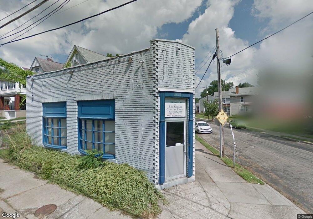
1736 Sherman Ave Norwood, OH 45212
Estimated Value: $83,921
--
Bed
--
Bath
1,084
Sq Ft
$77/Sq Ft
Est. Value
About This Home
This home is located at 1736 Sherman Ave, Norwood, OH 45212 and is currently estimated at $83,921, approximately $77 per square foot. 1736 Sherman Ave is a home located in Hamilton County with nearby schools including Norwood High School.
Ownership History
Date
Name
Owned For
Owner Type
Purchase Details
Closed on
Nov 3, 2008
Sold by
Berberich Catherine M and Berberich Catherine N
Bought by
Berberich Properties Llc
Current Estimated Value
Purchase Details
Closed on
Dec 3, 2004
Sold by
Brady Electrical Contracting Inc
Bought by
Berberich Catherine N
Home Financials for this Owner
Home Financials are based on the most recent Mortgage that was taken out on this home.
Original Mortgage
$32,400
Outstanding Balance
$17,051
Interest Rate
6.5%
Mortgage Type
Commercial
Estimated Equity
$66,870
Purchase Details
Closed on
Dec 2, 1996
Sold by
Hensley Randall and Hensley Iona E
Bought by
Brady Electrical Contracting Inc
Create a Home Valuation Report for This Property
The Home Valuation Report is an in-depth analysis detailing your home's value as well as a comparison with similar homes in the area
Home Values in the Area
Average Home Value in this Area
Purchase History
| Date | Buyer | Sale Price | Title Company |
|---|---|---|---|
| Berberich Properties Llc | -- | Attorney | |
| Berberich Catherine N | $40,500 | -- | |
| Brady Electrical Contracting Inc | $36,500 | -- |
Source: Public Records
Mortgage History
| Date | Status | Borrower | Loan Amount |
|---|---|---|---|
| Open | Berberich Catherine N | $32,400 |
Source: Public Records
Tax History Compared to Growth
Tax History
| Year | Tax Paid | Tax Assessment Tax Assessment Total Assessment is a certain percentage of the fair market value that is determined by local assessors to be the total taxable value of land and additions on the property. | Land | Improvement |
|---|---|---|---|---|
| 2024 | $1,427 | $20,801 | $3,850 | $16,951 |
| 2023 | $1,432 | $20,801 | $3,850 | $16,951 |
| 2022 | $1,368 | $17,367 | $3,521 | $13,846 |
| 2021 | $1,364 | $17,367 | $3,521 | $13,846 |
| 2020 | $1,310 | $17,367 | $3,521 | $13,846 |
| 2019 | $1,311 | $16,230 | $3,290 | $12,940 |
| 2018 | $1,316 | $16,230 | $3,290 | $12,940 |
| 2017 | $1,274 | $16,230 | $3,290 | $12,940 |
| 2016 | $1,380 | $16,317 | $3,444 | $12,873 |
| 2015 | $1,257 | $16,317 | $3,444 | $12,873 |
| 2014 | $1,246 | $16,317 | $3,444 | $12,873 |
| 2013 | $1,162 | $16,156 | $3,409 | $12,747 |
Source: Public Records
Map
Nearby Homes
- 4627 Mcneil Ave
- 1701 Sherman Ave
- 1721 Cleveland Ave
- 4650 Mcneil Ave
- 1817 Sherman Ave
- 1816 Cleveland Ave
- 1835 Sherman Ave
- 4635 Baker St
- 1821 Mills Ave
- 1810 Lincoln Ave
- 3 Baker Cir
- 1813 Ridgeway Ave
- 1915 Maple Ave
- 1841 Mills Ave
- 1901 Sherman Ave
- 1803 Courtland Ave
- 1937 Maple Ave
- 1944 Maple Ave
- 4719 Section Ave
- 4216 Bell St
- 1732 Sherman Ave
- 1728 Sherman Ave
- 1740 Sherman Ave Unit 1-6
- 4608 Mcneil Ave
- 1726 Sherman Ave
- 1737 Sherman Ave
- 1731 Sherman Ave
- 4611 Mcneil Ave
- 4611 Mcneil Ave Unit 1
- 1739 Sherman Ave
- 1724 Sherman Ave
- 4610 Mcneil Ave
- 1727 Sherman Ave
- 4614 Mcneil Ave
- 1743 Sherman Ave
- 1720 Sherman Ave
- 1723 Sherman Ave
- 1745 Sherman Ave
- 4613 Mcneil Ave
- 4618 Mcneil Ave