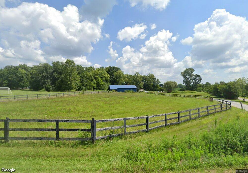
1736 W St Rte 29 Urbana, OH 43078
Estimated Value: $449,000 - $565,000
3
Beds
1
Bath
1,314
Sq Ft
$397/Sq Ft
Est. Value
About This Home
This home is located at 1736 W St Rte 29, Urbana, OH 43078 and is currently estimated at $521,319, approximately $396 per square foot. 1736 W St Rte 29 is a home located in Champaign County with nearby schools including West Liberty-Salem Elementary School, West Liberty-Salem Middle School, and West Liberty-Salem Middle/High School.
Ownership History
Date
Name
Owned For
Owner Type
Purchase Details
Closed on
Apr 27, 2007
Sold by
Johnson Clint E and National City Mortgage
Bought by
Federal Home Loan Mortgage Corporation
Current Estimated Value
Purchase Details
Closed on
Jul 15, 1996
Sold by
Gilpen Hulda M
Bought by
Urbana Christian Fellowship Inc
Home Financials for this Owner
Home Financials are based on the most recent Mortgage that was taken out on this home.
Original Mortgage
$117,500
Interest Rate
8.09%
Mortgage Type
New Conventional
Create a Home Valuation Report for This Property
The Home Valuation Report is an in-depth analysis detailing your home's value as well as a comparison with similar homes in the area
Home Values in the Area
Average Home Value in this Area
Purchase History
| Date | Buyer | Sale Price | Title Company |
|---|---|---|---|
| Federal Home Loan Mortgage Corporation | $107,000 | None Available | |
| Urbana Christian Fellowship Inc | $117,500 | -- |
Source: Public Records
Mortgage History
| Date | Status | Borrower | Loan Amount |
|---|---|---|---|
| Previous Owner | Urbana Christian Fellowship Inc | $117,500 |
Source: Public Records
Tax History Compared to Growth
Tax History
| Year | Tax Paid | Tax Assessment Tax Assessment Total Assessment is a certain percentage of the fair market value that is determined by local assessors to be the total taxable value of land and additions on the property. | Land | Improvement |
|---|---|---|---|---|
| 2024 | $5,737 | $151,570 | $14,150 | $137,420 |
| 2023 | $5,737 | $151,570 | $14,150 | $137,420 |
| 2022 | $5,756 | $151,570 | $14,150 | $137,420 |
| 2021 | $4,923 | $121,260 | $11,320 | $109,940 |
| 2020 | $4,923 | $121,260 | $11,320 | $109,940 |
| 2019 | $4,864 | $121,260 | $11,320 | $109,940 |
| 2018 | $4,094 | $103,690 | $10,620 | $93,070 |
| 2017 | $4,017 | $103,250 | $10,620 | $92,630 |
| 2016 | $2,954 | $78,270 | $10,620 | $67,650 |
| 2015 | $2,667 | $75,040 | $10,620 | $64,420 |
| 2014 | $2,669 | $75,040 | $10,620 | $64,420 |
| 2013 | $2,645 | $75,040 | $10,620 | $64,420 |
Source: Public Records
Map
Nearby Homes
- 0 Millerstown Rd
- 00 Millerstown Rd
- 734 Emmalyn Ave
- 728 N Oakland St
- 723 N Russell St
- 0 Ohio 296
- 922 W Court St
- 241 Louden St
- 1123 Miami St
- 242 Laurel Oak St
- 234 Laurel Oak St
- 129 Gwynne St
- 0 Laurel Oak St Unit 225013949
- 0 Laurel Oak St Unit 1038292
- 206 Lincoln Place
- 311 W Church St
- 306 W Court St
- 501 Boyce St
- 1010 W Herr Rd
- 603 E Light St
- 1736 W State Route 29
- 1710 W State Route 29
- 1794 W State Route 29
- 1727 W State Route 29
- 1700 W State Route 29
- 1749 W State Route 29
- 1690 W State Route 29
- 1763 W State Route 29
- 1680 W State Route 29
- 1732 W State Route 29
- 1810 W State Route 29
- 1675 W State Route 29
- 1685 W State Route 29
- 1667 Ohio 29
- 1814 W State Route 29
- 1667 W State Route 29
- 1828 W State Route 29
- 1805 W State Route 29
- 1850 W State Route 29
- 1734 W State Route 29