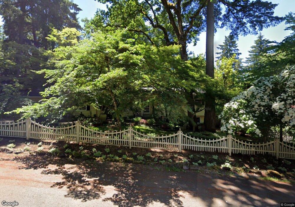
17365 Alpine Way Lake Oswego, OR 97034
Palisades NeighborhoodEstimated Value: $1,151,821 - $1,896,000
6
Beds
3
Baths
3,514
Sq Ft
$399/Sq Ft
Est. Value
About This Home
This home is located at 17365 Alpine Way, Lake Oswego, OR 97034 and is currently estimated at $1,402,705, approximately $399 per square foot. 17365 Alpine Way is a home located in Clackamas County with nearby schools including Westridge Elementary School, Lakeridge Middle School, and Lakeridge High School.
Ownership History
Date
Name
Owned For
Owner Type
Purchase Details
Closed on
Feb 20, 2003
Sold by
Ross Burl A and Ross Valerie H
Bought by
Ross Burl and Ross Valarie H
Current Estimated Value
Home Financials for this Owner
Home Financials are based on the most recent Mortgage that was taken out on this home.
Original Mortgage
$224,000
Interest Rate
5.89%
Purchase Details
Closed on
Apr 1, 1991
Bought by
Ross Burl and Ross Valarie H
Create a Home Valuation Report for This Property
The Home Valuation Report is an in-depth analysis detailing your home's value as well as a comparison with similar homes in the area
Home Values in the Area
Average Home Value in this Area
Purchase History
| Date | Buyer | Sale Price | Title Company |
|---|---|---|---|
| Ross Burl | -- | Chicago Title Insurance Co | |
| Ross Burl | $215,100 | -- |
Source: Public Records
Mortgage History
| Date | Status | Borrower | Loan Amount |
|---|---|---|---|
| Closed | Ross Burl | $224,000 |
Source: Public Records
Tax History Compared to Growth
Tax History
| Year | Tax Paid | Tax Assessment Tax Assessment Total Assessment is a certain percentage of the fair market value that is determined by local assessors to be the total taxable value of land and additions on the property. | Land | Improvement |
|---|---|---|---|---|
| 2025 | $8,378 | $436,278 | -- | -- |
| 2024 | $8,155 | $423,571 | -- | -- |
| 2023 | $8,155 | $411,234 | $0 | $0 |
| 2022 | $7,681 | $399,257 | $0 | $0 |
| 2021 | $7,094 | $387,629 | $0 | $0 |
| 2020 | $6,916 | $376,339 | $0 | $0 |
| 2019 | $6,745 | $365,378 | $0 | $0 |
| 2018 | $6,415 | $354,736 | $0 | $0 |
| 2017 | $6,190 | $344,404 | $0 | $0 |
| 2016 | $5,635 | $334,373 | $0 | $0 |
| 2015 | $5,444 | $324,634 | $0 | $0 |
| 2014 | $5,374 | $315,179 | $0 | $0 |
Source: Public Records
Map
Nearby Homes
- 17360 Alpine Way
- 17035 Westview Dr
- 17677 Westview Dr
- 2627 Park Rd
- 17447 Blue Heron Rd
- 17210 Cedar Rd
- 16878 Canyon Dr
- 17901 Hillside Dr
- 16636 Maple Cir
- 17367 Canal Cir
- 2255 Glen Haven Rd
- 2306 Mayors Ln
- 17595 Kelok Rd
- 0 S Shore Blvd
- 1951 Greentree Rd
- 1931 Park Forest Ct
- 3548 Lakeview Blvd
- 3600 Lakeview Blvd
- 17810 Sarah Hill Ln
- 4160 Westbay Rd
- 17712 Ct
- 17375 Alpine Way
- 2950 Park Rd
- 17380 Westview Dr
- 17410 Westview Dr
- 17410
- 17370 Alpine Way
- 2845 Dellwood Dr
- 2891 Dellwood Dr
- 2941 Park Rd
- 17460 Westview Dr
- 2825 Dellwood Dr
- 2870 Park Rd
- 2903 Dellwood Dr
- 17447 Westview Dr
- 17280 Westview Dr
- 17337 Westview Dr
- 17309 Westview Dr
- 2779 Dellwood Dr
- 2865 Park Rd