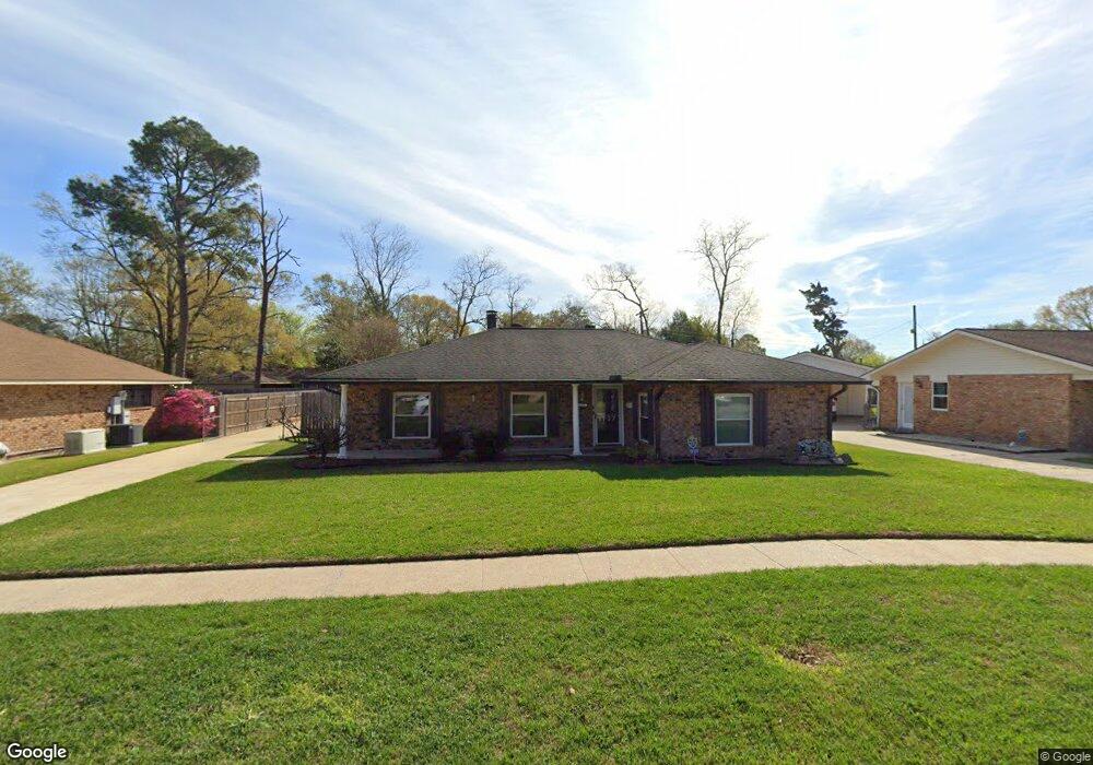
1737 Bellfort Dr Baton Rouge, LA 70815
Broadmoor/Sherwood NeighborhoodEstimated Value: $200,448 - $229,000
3
Beds
2
Baths
1,800
Sq Ft
$119/Sq Ft
Est. Value
About This Home
This home is located at 1737 Bellfort Dr, Baton Rouge, LA 70815 and is currently estimated at $213,862, approximately $118 per square foot. 1737 Bellfort Dr is a home located in East Baton Rouge Parish with nearby schools including Broadmoor Elementary School, Southeast Middle School, and Broadmoor Senior High School.
Ownership History
Date
Name
Owned For
Owner Type
Purchase Details
Closed on
Jun 16, 2000
Sold by
Smith Scott Keith and Smith Kelli P
Bought by
Rayburn Wanda Lynn
Current Estimated Value
Home Financials for this Owner
Home Financials are based on the most recent Mortgage that was taken out on this home.
Original Mortgage
$105,946
Outstanding Balance
$37,563
Interest Rate
8.3%
Mortgage Type
FHA
Estimated Equity
$176,299
Create a Home Valuation Report for This Property
The Home Valuation Report is an in-depth analysis detailing your home's value as well as a comparison with similar homes in the area
Home Values in the Area
Average Home Value in this Area
Purchase History
| Date | Buyer | Sale Price | Title Company |
|---|---|---|---|
| Rayburn Wanda Lynn | $106,000 | -- |
Source: Public Records
Mortgage History
| Date | Status | Borrower | Loan Amount |
|---|---|---|---|
| Open | Rayburn Wanda Lynn | $105,946 |
Source: Public Records
Tax History Compared to Growth
Tax History
| Year | Tax Paid | Tax Assessment Tax Assessment Total Assessment is a certain percentage of the fair market value that is determined by local assessors to be the total taxable value of land and additions on the property. | Land | Improvement |
|---|---|---|---|---|
| 2024 | $1,072 | $15,250 | $2,200 | $13,050 |
| 2023 | $1,072 | $15,250 | $2,200 | $13,050 |
| 2022 | $1,896 | $15,250 | $2,200 | $13,050 |
| 2021 | $1,854 | $15,250 | $2,200 | $13,050 |
| 2020 | $1,843 | $15,250 | $2,200 | $13,050 |
| 2019 | $1,486 | $11,650 | $2,200 | $9,450 |
| 2018 | $1,468 | $11,650 | $2,200 | $9,450 |
| 2017 | $1,468 | $11,650 | $2,200 | $9,450 |
| 2016 | $656 | $11,650 | $2,200 | $9,450 |
| 2015 | $634 | $11,500 | $2,200 | $9,300 |
| 2014 | $639 | $11,500 | $2,200 | $9,300 |
| 2013 | -- | $11,500 | $2,200 | $9,300 |
Source: Public Records
Map
Nearby Homes
- 11620 Old Hammond Hwy
- 1464 Wellington Dr
- 10970 Darius Dr
- 10926 Old Hammond Hwy Unit 27
- 10926 Old Hammond Hwy Unit 20
- 10656 Rondo Ave
- 2020 Lac Cache Ct
- 2045 Sherwood Meadow Dr Unit 4
- 1233 Ashbourne Dr
- 1165 S Tinley Dr
- 1715 Foxton Ct
- 1706 Foxton Ct
- 1124 Sharp Rd
- 11110 Boardwalk Dr Unit 55
- 11110 Boardwalk Dr Unit 41
- 10555 Barbara St
- 2421 Aubin Ln
- 11019 Goodwood Blvd
- 2614 Citadel Dr
- 11583 Sewanee Dr
- 1729 Bellfort Dr
- 1765 Bellfort Dr
- 1742 Bellrose Dr
- 1754 Bellrose Dr
- 1742 N Bellrose Dr
- 1677 Bellfort Dr
- 1777 Bellfort Dr
- 1730 N Bellrose Dr
- 1754 N Bellrose Dr
- 1736 Bellfort Dr
- 1674 Bellrose Dr
- 1766 Bellrose Dr
- 1764 Bellfort Dr
- 1728 Bellfort Dr
- 1766 N Bellrose Dr
- 1663 Bellfort Dr
- 1785 Bellfort Dr
- 1776 Bellfort Dr
- 1778 N Bellrose Dr
- 1778 Bellrose Dr