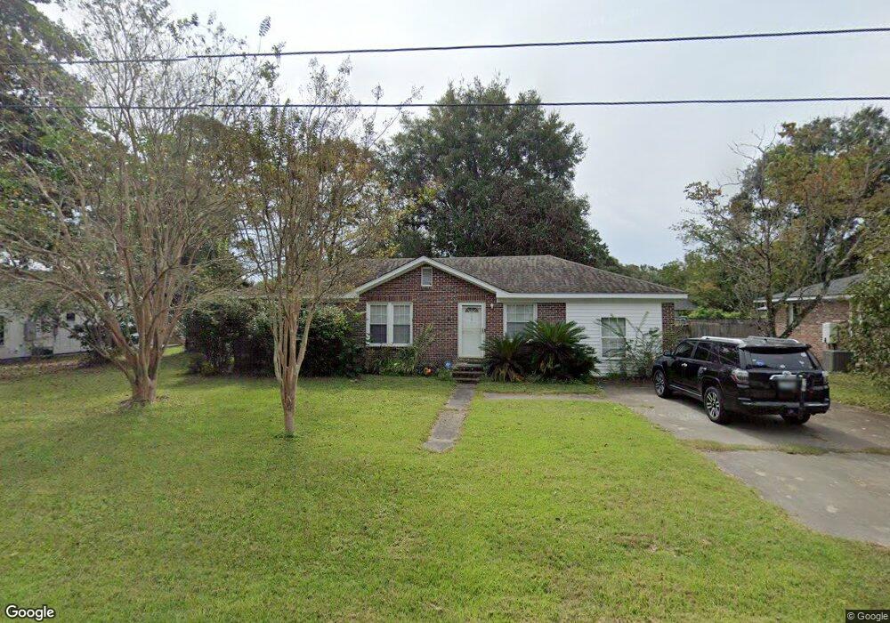
1737 Combahee St Charleston, SC 29412
James Island NeighborhoodEstimated Value: $431,000 - $478,000
3
Beds
1
Bath
1,050
Sq Ft
$433/Sq Ft
Est. Value
About This Home
This home is located at 1737 Combahee St, Charleston, SC 29412 and is currently estimated at $454,469, approximately $432 per square foot. 1737 Combahee St is a home located in Charleston County with nearby schools including Murray-LaSaine Montessori School, James Island Elementary School, and Camp Road Middle.
Ownership History
Date
Name
Owned For
Owner Type
Purchase Details
Closed on
Feb 7, 2005
Sold by
Steffan Gregory M
Bought by
Howe Stephen R and Howe Kristian N
Current Estimated Value
Home Financials for this Owner
Home Financials are based on the most recent Mortgage that was taken out on this home.
Original Mortgage
$114,000
Outstanding Balance
$57,601
Interest Rate
5.66%
Mortgage Type
New Conventional
Estimated Equity
$396,868
Purchase Details
Closed on
May 19, 2000
Sold by
Forsberg Dennis J
Bought by
Steffan Gregory M
Create a Home Valuation Report for This Property
The Home Valuation Report is an in-depth analysis detailing your home's value as well as a comparison with similar homes in the area
Home Values in the Area
Average Home Value in this Area
Purchase History
| Date | Buyer | Sale Price | Title Company |
|---|---|---|---|
| Howe Stephen R | $120,000 | -- | |
| Steffan Gregory M | $85,000 | -- |
Source: Public Records
Mortgage History
| Date | Status | Borrower | Loan Amount |
|---|---|---|---|
| Open | Howe Stephen R | $114,000 |
Source: Public Records
Tax History Compared to Growth
Tax History
| Year | Tax Paid | Tax Assessment Tax Assessment Total Assessment is a certain percentage of the fair market value that is determined by local assessors to be the total taxable value of land and additions on the property. | Land | Improvement |
|---|---|---|---|---|
| 2024 | $965 | $7,230 | $0 | $0 |
| 2023 | $965 | $7,230 | $0 | $0 |
| 2022 | $2,789 | $10,840 | $0 | $0 |
| 2021 | $2,777 | $10,840 | $0 | $0 |
| 2020 | $2,720 | $10,840 | $0 | $0 |
| 2019 | $2,526 | $9,430 | $0 | $0 |
| 2017 | $2,474 | $9,430 | $0 | $0 |
| 2016 | $2,393 | $9,430 | $0 | $0 |
| 2015 | $2,289 | $9,430 | $0 | $0 |
| 2014 | $2,083 | $0 | $0 | $0 |
| 2011 | -- | $0 | $0 | $0 |
Source: Public Records
Map
Nearby Homes
- 1741 Combahee St
- 1734 Combahee St
- 1767 Gilbert St
- 1764 Lady Ashley St
- 842 Centerwood Dr
- 21 Rivers Point Row Unit 11 C
- 21 Rivers Point Row Unit 3C
- 1767 Santee St
- 835 Hale St
- 1814 S Mayflower Dr
- 35 Rivers Point Row Unit A
- 1827 S Mayflower Dr
- 914 Dill Ave
- 36 Forde Row
- 1039 Yorktown Dr
- 810 Curved Creek Ct
- 826 Curved Creek Ct
- 1 Maplecrest Dr
- 1 S Anderson Ave
- 17 S Anderson Ave Unit A,B,C, D
- 1733 Combahee St
- 885 W Madison Ave
- 1738 Combahee St
- 1745 Combahee St
- 879 W Madison Ave
- 1742 Combahee St
- 1728 Camp Rd
- 1728 Camp Rd Unit A & B
- 893 W Madison Ave
- 1734 Camp Rd
- 1748 Combahee St
- 1749 Combahee St
- 869 W Madison Ave
- 1747 Gilbert St
- 886 W Madison Ave
- 1753 Gilbert St
- 1743 Gilbert St
- 878 Santee St
- 890 W Madison Ave
- 867 W Madison Ave