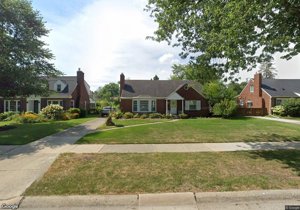
1737 Hawthorne Rd Grosse Pointe Woods, MI 48236
Estimated Value: $383,879 - $426,000
4
Beds
2
Baths
1,765
Sq Ft
$230/Sq Ft
Est. Value
About This Home
This home is located at 1737 Hawthorne Rd, Grosse Pointe Woods, MI 48236 and is currently estimated at $405,220, approximately $229 per square foot. 1737 Hawthorne Rd is a home located in Wayne County with nearby schools including Stevens T. Mason Elementary School, Parcells Middle School, and Grosse Pointe North High School.
Ownership History
Date
Name
Owned For
Owner Type
Purchase Details
Closed on
Aug 10, 2009
Sold by
Berndt Carl A and Berndt Karol A
Bought by
Everham Karen A
Current Estimated Value
Home Financials for this Owner
Home Financials are based on the most recent Mortgage that was taken out on this home.
Original Mortgage
$50,875
Outstanding Balance
$33,306
Interest Rate
5.29%
Mortgage Type
FHA
Estimated Equity
$371,914
Purchase Details
Closed on
Jun 15, 1994
Sold by
Berndt Dennis R
Bought by
Mary K Berndt and Berndt Carl A
Create a Home Valuation Report for This Property
The Home Valuation Report is an in-depth analysis detailing your home's value as well as a comparison with similar homes in the area
Home Values in the Area
Average Home Value in this Area
Purchase History
| Date | Buyer | Sale Price | Title Company |
|---|---|---|---|
| Everham Karen A | $150,000 | Greco | |
| Mary K Berndt | $100,000 | -- |
Source: Public Records
Mortgage History
| Date | Status | Borrower | Loan Amount |
|---|---|---|---|
| Open | Everham Karen A | $50,875 |
Source: Public Records
Tax History Compared to Growth
Tax History
| Year | Tax Paid | Tax Assessment Tax Assessment Total Assessment is a certain percentage of the fair market value that is determined by local assessors to be the total taxable value of land and additions on the property. | Land | Improvement |
|---|---|---|---|---|
| 2025 | $3,269 | $188,000 | $0 | $0 |
| 2024 | $3,269 | $177,300 | $0 | $0 |
| 2023 | $3,144 | $158,100 | $0 | $0 |
| 2022 | $4,923 | $145,600 | $0 | $0 |
| 2021 | $4,693 | $148,600 | $0 | $0 |
| 2020 | $4,833 | $141,400 | $0 | $0 |
| 2019 | $4,730 | $132,300 | $0 | $0 |
| 2018 | $2,812 | $120,500 | $0 | $0 |
| 2017 | $3,268 | $115,200 | $0 | $0 |
| 2016 | $4,455 | $105,600 | $0 | $0 |
| 2015 | $7,722 | $79,500 | $0 | $0 |
| 2013 | $7,490 | $76,400 | $0 | $0 |
| 2012 | -- | $81,500 | $21,300 | $60,200 |
Source: Public Records
Map
Nearby Homes
- 1817 Hawthorne Rd
- 1750 Vernier Rd Unit 6
- 1750 Vernier Rd Unit 22
- 1641 Hampton Rd
- 1768 Hampton Rd
- 1793 Roslyn Rd
- 2025 Anita Ave
- 1781 Brys Dr
- 1677 Brys Dr
- 1463 Hollywood Ave
- 1528 Roslyn Rd
- 1374 Anita Ave
- 1552 Brys Dr
- 2138 Ridgemont Rd
- 2104 Roslyn Rd
- 2202 Hollywood Ave
- 2147 Roslyn Rd
- 2158 Lennon St
- 2230 Hawthorne Rd
- 1381 Brys Dr
- 1751 Hawthorne Rd
- 1732 Anita Ave
- 1740 Anita Ave
- 1723 Hawthorne Rd
- 1748 Anita Ave
- 1716 Anita Ave
- 1756 Anita Ave
- 1709 Hawthorne Rd
- 1708 Anita Ave
- 1763 Hawthorne Rd
- 1764 Anita Ave
- 1700 Anita Ave
- 1697 Hawthorne Rd
- 1772 Anita Ave
- 1692 Anita Ave
- 1777 Hawthorne Rd
- 1780 Anita Ave
- 1686 Anita Ave
- 1737 Anita Ave
- 1727 Anita Ave