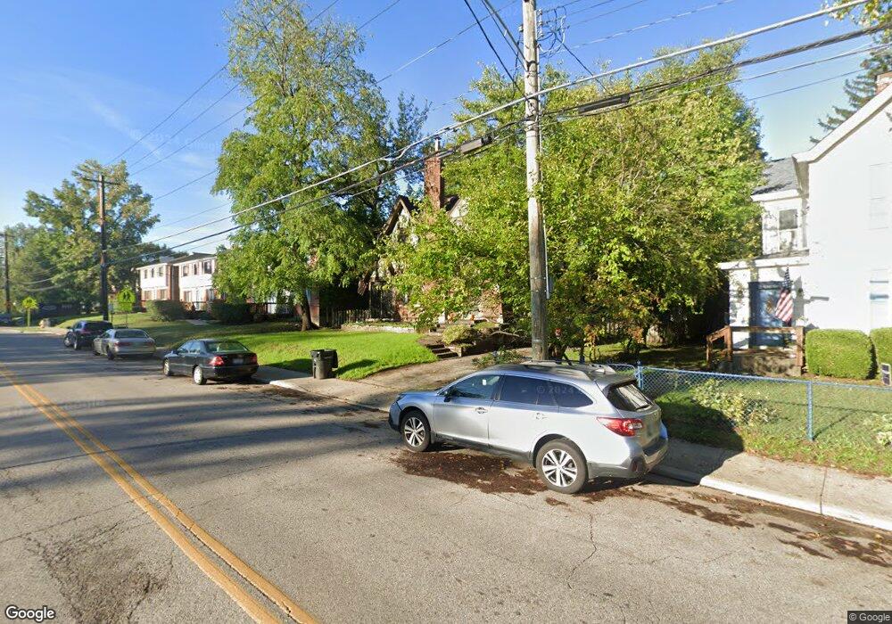
1737 Mears Ave Cincinnati, OH 45230
Mount Washington NeighborhoodEstimated Value: $302,883 - $411,000
5
Beds
2
Baths
1,622
Sq Ft
$215/Sq Ft
Est. Value
About This Home
This home is located at 1737 Mears Ave, Cincinnati, OH 45230 and is currently estimated at $349,221, approximately $215 per square foot. 1737 Mears Ave is a home located in Hamilton County with nearby schools including Mt. Washington Elementary School, Clark Montessori High School, and Shroder High School.
Ownership History
Date
Name
Owned For
Owner Type
Purchase Details
Closed on
Aug 15, 2007
Sold by
Bee Gregory W and Hawkins Sarah J
Bought by
Brock Eric and Turner Tara C
Current Estimated Value
Home Financials for this Owner
Home Financials are based on the most recent Mortgage that was taken out on this home.
Original Mortgage
$164,250
Outstanding Balance
$102,226
Interest Rate
6.69%
Mortgage Type
Unknown
Estimated Equity
$246,995
Purchase Details
Closed on
Aug 15, 2003
Sold by
Conlon Sarah E and Conlon Betty L
Bought by
Bee Gregory W and Hawkins Sarah J
Home Financials for this Owner
Home Financials are based on the most recent Mortgage that was taken out on this home.
Original Mortgage
$190,000
Interest Rate
6.25%
Mortgage Type
Unknown
Create a Home Valuation Report for This Property
The Home Valuation Report is an in-depth analysis detailing your home's value as well as a comparison with similar homes in the area
Home Values in the Area
Average Home Value in this Area
Purchase History
| Date | Buyer | Sale Price | Title Company |
|---|---|---|---|
| Brock Eric | $219,000 | Attorney | |
| Bee Gregory W | $190,000 | -- |
Source: Public Records
Mortgage History
| Date | Status | Borrower | Loan Amount |
|---|---|---|---|
| Open | Brock Eric | $164,250 | |
| Previous Owner | Bee Gregory W | $190,000 |
Source: Public Records
Tax History
| Year | Tax Paid | Tax Assessment Tax Assessment Total Assessment is a certain percentage of the fair market value that is determined by local assessors to be the total taxable value of land and additions on the property. | Land | Improvement |
|---|---|---|---|---|
| 2025 | $5,183 | $83,976 | $10,595 | $73,381 |
| 2023 | $5,141 | $83,976 | $10,595 | $73,381 |
| 2022 | $4,868 | $71,359 | $8,915 | $62,444 |
| 2021 | $4,684 | $71,359 | $8,915 | $62,444 |
| 2020 | $4,820 | $71,359 | $8,915 | $62,444 |
| 2019 | $4,623 | $62,594 | $7,819 | $54,775 |
| 2018 | $4,630 | $62,594 | $7,819 | $54,775 |
| 2017 | $4,399 | $62,594 | $7,819 | $54,775 |
| 2016 | $4,369 | $61,272 | $8,936 | $52,336 |
| 2015 | $3,938 | $61,272 | $8,936 | $52,336 |
| 2014 | $3,966 | $61,272 | $8,936 | $52,336 |
| 2013 | $4,035 | $61,272 | $8,936 | $52,336 |
Source: Public Records
Map
Nearby Homes
- 1741 Mears Ave
- 6123 Cambridge Ave
- 1944 Rockland Ave
- 1508 Beth Ln
- 5965 Wayside Ave
- 2127 Oxford Ave Unit 10
- 2111 Sutton Ave
- 2121 Sutton Ave
- 1341 Mayland Dr
- 6952 Shadow Ridge Rd
- 6604 Ambar Ave
- 6521 Glade Ave
- 1190 Linden Hill Ln
- 1319 Schirmer Ave
- 6253 Sturdy Ave
- 6050 Bagdad Dr
- 2140 Trailwood Dr
- 3 Salem Rd
- 2 Salem Rd
- 4 Salem Rd
- 1715 Mears Ave
- 1803 Mears Ave
- 1709 Mears Ave
- 1742 Mears Ave
- 1800 Mears Ave
- 1800 Mears Ave Unit 1
- 1802 Mears Ave
- 1707 Mears Ave
- 1740 Marquette Ave
- 1734 Marquette Ave
- 1730 Marquette Ave
- 1809-1813 Mears Ave
- 1744 Marquette Ave
- 1726 Marquette Ave
- 1815 Mears Ave
- 1750 Marquette Ave
- 1712 Mears Ave
- 1754 Marquette Ave
- 1722 Marquette Ave
- 1802-1804 Mears Ave
Your Personal Tour Guide
Ask me questions while you tour the home.