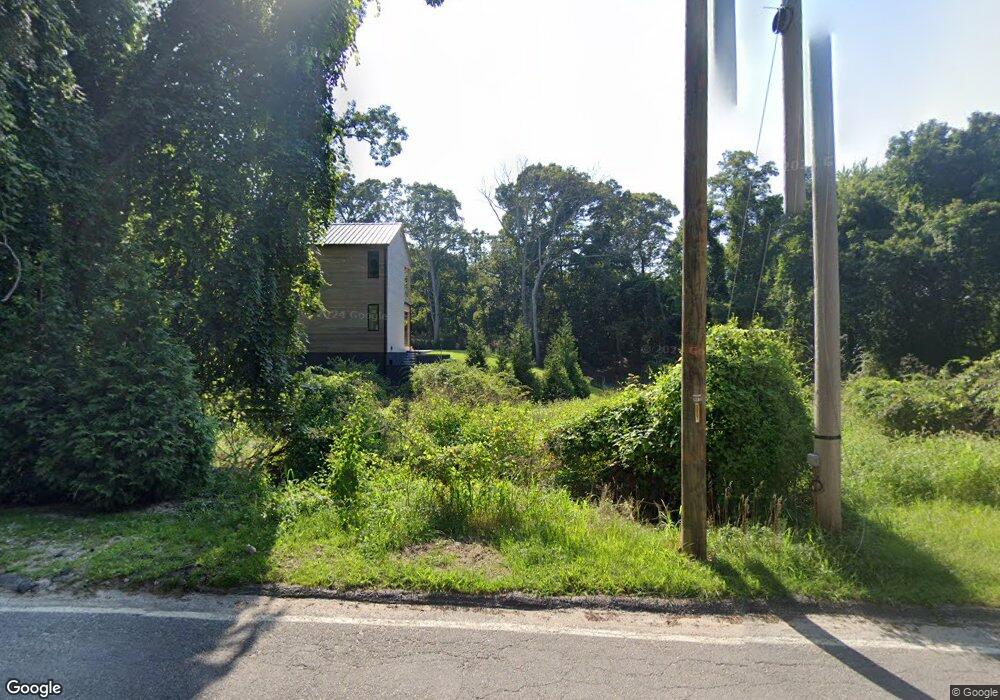
1737 Millstone Rd Sag Harbor, NY 11963
Estimated Value: $1,062,000 - $4,584,000
8
Beds
8
Baths
4,962
Sq Ft
$499/Sq Ft
Est. Value
About This Home
This home is located at 1737 Millstone Rd, Sag Harbor, NY 11963 and is currently estimated at $2,477,428, approximately $499 per square foot. 1737 Millstone Rd is a home located in Suffolk County with nearby schools including Sag Harbor Elementary School and Pierson Middle/High School.
Ownership History
Date
Name
Owned For
Owner Type
Purchase Details
Closed on
Apr 5, 2024
Sold by
1737 Millstone Llc
Bought by
East Bay Equlties Llc
Current Estimated Value
Purchase Details
Closed on
Sep 17, 2020
Sold by
Koral Partners Llc
Bought by
1737 Millstone Road Llc
Purchase Details
Closed on
Mar 24, 2016
Sold by
Laurel Woods Llc
Bought by
Koral Partners L L C
Create a Home Valuation Report for This Property
The Home Valuation Report is an in-depth analysis detailing your home's value as well as a comparison with similar homes in the area
Home Values in the Area
Average Home Value in this Area
Purchase History
| Date | Buyer | Sale Price | Title Company |
|---|---|---|---|
| East Bay Equlties Llc | $1,200,000 | None Available | |
| East Bay Equlties Llc | $1,200,000 | None Available | |
| 1737 Millstone Road Llc | $625,000 | None Available | |
| 1737 Millstone Road Llc | $625,000 | None Available | |
| Koral Partners L L C | $480,000 | None Available | |
| Koral Partners L L C | $480,000 | None Available |
Source: Public Records
Tax History Compared to Growth
Tax History
| Year | Tax Paid | Tax Assessment Tax Assessment Total Assessment is a certain percentage of the fair market value that is determined by local assessors to be the total taxable value of land and additions on the property. | Land | Improvement |
|---|---|---|---|---|
| 2024 | -- | $571,800 | $571,800 | -- |
| 2023 | -- | $571,800 | $571,800 | $0 |
| 2022 | $4,301 | $571,800 | $571,800 | $0 |
| 2021 | $4,301 | $571,800 | $571,800 | $0 |
| 2020 | $3,792 | $571,800 | $571,800 | $0 |
| 2019 | $3,792 | $0 | $0 | $0 |
| 2018 | -- | $571,800 | $571,800 | $0 |
| 2017 | $4,065 | $571,800 | $571,800 | $0 |
| 2016 | $4,196 | $571,800 | $571,800 | $0 |
| 2015 | -- | $571,800 | $571,800 | $0 |
| 2014 | -- | $571,800 | $571,800 | $0 |
Source: Public Records
Map
Nearby Homes
- 1739 Millstone Rd
- 2964 Noyack Rd
- 1694 Millstone Rd
- 2803 Noyac Rd
- 2885 Deerfield Rd
- 2524 Noyack Rd
- 2421 Noyac Rd
- 3380 Noyack Rd
- 24 Shadyrest Dr
- 2587 Deerfield Rd
- 9 Shadyrest Dr
- 471 Middle Line Hwy
- 2222 Noyack Rd
- 19 Wickatuck Dr
- 3625 Noyack Rd
- 31 Rolling Hill Ct W
- 75 Island View Dr W
- 55 Wickatuck Dr
- 3748 Noyac Rd
- 64 Island View Dr W
- 1735 Millstone Rd
- 1723 Millstone Rd
- 2878 Noyac Rd
- 1736 Millstone Rd
- 2948 Noyac Rd
- 1695 Millstone Rd
- 2929 Noyac Rd
- 1728 Millstone Rd
- 2899 Noyac Rd
- 1727 Millstone Rd
- 1731 Millstone Rd
- 2879 Noyac Rd
- 19 Cedar Point Ln
- 2964 Noyac Rd
- 2858 Noyac Rd
- 2972 Noyac Rd
- 2867 Noyac Rd
- 1712 Millstone Rd
- 2971 Noyac Rd
- 16 Cedar Point Ln