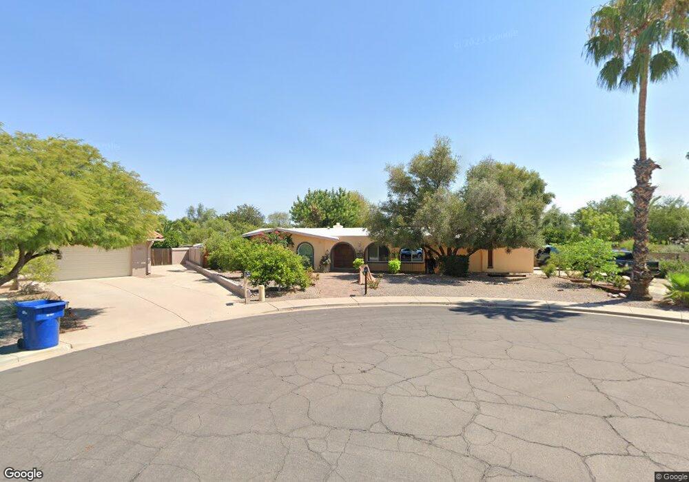
1737 N Gentry Cir Mesa, AZ 85213
North Central Mesa NeighborhoodEstimated Value: $508,000 - $583,000
3
Beds
3
Baths
2,215
Sq Ft
$246/Sq Ft
Est. Value
About This Home
This home is located at 1737 N Gentry Cir, Mesa, AZ 85213 and is currently estimated at $544,691, approximately $245 per square foot. 1737 N Gentry Cir is a home located in Maricopa County with nearby schools including Hale Elementary School, Franklin at Brimhall Elementary School, and Franklin West Elementary School.
Ownership History
Date
Name
Owned For
Owner Type
Purchase Details
Closed on
Jan 24, 2023
Sold by
Febres Edgar
Bought by
Febres Family Trust
Current Estimated Value
Purchase Details
Closed on
Apr 30, 2008
Sold by
Febres Damaris G
Bought by
Febres Edgar
Home Financials for this Owner
Home Financials are based on the most recent Mortgage that was taken out on this home.
Original Mortgage
$150,000
Interest Rate
5.81%
Mortgage Type
New Conventional
Purchase Details
Closed on
Dec 12, 2007
Sold by
Febres Emperatriz
Bought by
Febres Edgar
Purchase Details
Closed on
Oct 15, 2002
Sold by
Prudential Relocation Inc
Bought by
Febres Edgar E and Febres Emperatriz
Purchase Details
Closed on
May 12, 1995
Sold by
Galluzzo Natale and Galluzzo Mary
Bought by
Robinson Lawson Hayes and Robinson Wooin Chway
Create a Home Valuation Report for This Property
The Home Valuation Report is an in-depth analysis detailing your home's value as well as a comparison with similar homes in the area
Home Values in the Area
Average Home Value in this Area
Purchase History
| Date | Buyer | Sale Price | Title Company |
|---|---|---|---|
| Febres Family Trust | -- | -- | |
| Febres Edgar | -- | Security Title Agency Inc | |
| Febres Edgar | -- | None Available | |
| Febres Edgar E | $164,500 | Fidelity National Title | |
| Robinson Lawson Hayes | $110,000 | Security Title Agency |
Source: Public Records
Mortgage History
| Date | Status | Borrower | Loan Amount |
|---|---|---|---|
| Previous Owner | Febres Edgar | $150,000 |
Source: Public Records
Tax History Compared to Growth
Tax History
| Year | Tax Paid | Tax Assessment Tax Assessment Total Assessment is a certain percentage of the fair market value that is determined by local assessors to be the total taxable value of land and additions on the property. | Land | Improvement |
|---|---|---|---|---|
| 2025 | $2,580 | $26,151 | -- | -- |
| 2024 | $2,195 | $24,906 | -- | -- |
| 2023 | $2,195 | $40,850 | $8,170 | $32,680 |
| 2022 | $2,147 | $30,870 | $6,170 | $24,700 |
| 2021 | $2,206 | $29,310 | $5,860 | $23,450 |
| 2020 | $2,177 | $26,860 | $5,370 | $21,490 |
| 2019 | $2,016 | $25,020 | $5,000 | $20,020 |
| 2018 | $1,925 | $22,970 | $4,590 | $18,380 |
| 2017 | $1,865 | $22,730 | $4,540 | $18,190 |
| 2016 | $1,831 | $21,070 | $4,210 | $16,860 |
| 2015 | $1,729 | $19,130 | $3,820 | $15,310 |
Source: Public Records
Map
Nearby Homes
- 1745 N Ashbrook Cir
- 2057 N Ashbrook
- 2160 E Kenwood St
- 2011 E Gary Cir
- 1708 E Knoll St
- 1525 N 25th St
- 1701 E Halifax St
- 2435 E Kenwood Cir
- 1932 N Harris Dr
- 2237 E Lynwood St
- 2528 E Mckellips Rd Unit 74
- 2528 E Mckellips Rd Unit 146
- 2528 E Mckellips Rd Unit 15
- 2127 E Laurel St
- 2246 North Forest
- 1517 E Mclellan Rd
- 2405 E Lynwood Cir
- 1844 E Leland Cir
- 2346 N Kachina
- 2505 E Lockwood St
- 1736 N Chestnut Cir
- 1743 N Gentry Cir
- 1729 N Gentry Cir
- 1740 N Chestnut Cir
- 1719 N Gentry Cir
- 1742 N Gentry Cir
- 1738 N Gentry Cir
- 1728 N Chestnut Cir
- 2061 E Jensen St
- 1730 N Gentry Cir
- 2055 E Jensen St
- 2109 E Jensen St
- 1720 N Gentry Cir Unit 1
- 1720 N Gentry Cir
- 1741 N Chestnut Cir
- 1711 N Gentry Cir
- 2043 E Jensen St
- 2117 E Jensen St
- 1735 N Ashbrook Cir
- 1735 N Chestnut Cir