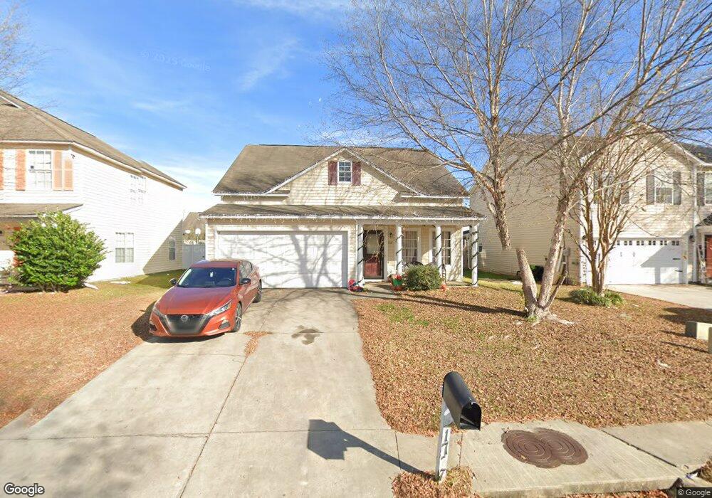
1737 Polaris Dr Sumter, SC 29150
Estimated Value: $229,939 - $248,000
5
Beds
4
Baths
1,976
Sq Ft
$121/Sq Ft
Est. Value
About This Home
This home is located at 1737 Polaris Dr, Sumter, SC 29150 and is currently estimated at $239,485, approximately $121 per square foot. 1737 Polaris Dr is a home located in Sumter County with nearby schools including Oakland Primary School, High Hills Elementary School, and Shaw Heights Elementary School.
Ownership History
Date
Name
Owned For
Owner Type
Purchase Details
Closed on
Dec 14, 2006
Sold by
Firstar Homes Inc
Bought by
Kinyon Jamee C
Current Estimated Value
Home Financials for this Owner
Home Financials are based on the most recent Mortgage that was taken out on this home.
Original Mortgage
$28,650
Outstanding Balance
$2,614
Interest Rate
6.19%
Mortgage Type
Stand Alone Second
Estimated Equity
$236,871
Create a Home Valuation Report for This Property
The Home Valuation Report is an in-depth analysis detailing your home's value as well as a comparison with similar homes in the area
Home Values in the Area
Average Home Value in this Area
Purchase History
| Date | Buyer | Sale Price | Title Company |
|---|---|---|---|
| Kinyon Jamee C | $143,365 | None Available |
Source: Public Records
Mortgage History
| Date | Status | Borrower | Loan Amount |
|---|---|---|---|
| Open | Kinyon Jamee C | $28,650 |
Source: Public Records
Tax History Compared to Growth
Tax History
| Year | Tax Paid | Tax Assessment Tax Assessment Total Assessment is a certain percentage of the fair market value that is determined by local assessors to be the total taxable value of land and additions on the property. | Land | Improvement |
|---|---|---|---|---|
| 2025 | $1,260 | $6,780 | $800 | $5,980 |
| 2024 | $1,260 | $6,780 | $800 | $5,980 |
| 2023 | $1,260 | $6,770 | $800 | $5,970 |
| 2022 | $1,255 | $6,770 | $800 | $5,970 |
| 2021 | $1,258 | $6,770 | $800 | $5,970 |
| 2020 | $1,258 | $6,380 | $1,000 | $5,380 |
| 2019 | $1,248 | $6,380 | $1,000 | $5,380 |
| 2018 | $1,202 | $6,380 | $1,000 | $5,380 |
| 2017 | $1,227 | $6,380 | $1,000 | $5,380 |
| 2016 | $1,245 | $6,380 | $1,000 | $5,380 |
| 2015 | $1,232 | $6,090 | $760 | $5,330 |
| 2014 | $1,232 | $6,090 | $760 | $5,330 |
| 2013 | -- | $6,090 | $760 | $5,330 |
Source: Public Records
Map
Nearby Homes
- 1764 Benelli St
- 1749 Polaris Dr
- 1769 Musket Trail
- 1833 Ringneck Ct
- 1690 Mossberg Dr
- 1768 Ruger Dr
- 1757 Canopy Dr
- 1763 Canopy Dr
- 1769 Canopy Dr
- 1739 Canopy Dr
- 1751 (lot30) Canopy Dr
- 1760 (lot46) Canopy Dr
- 1766 (lot47) Canopy Dr
- 1748 Canopy Dr Unit Lot 44
- 1748 Canopy Dr
- 1754 Canopy Dr Unit Lot 45
- 1754 Canopy Dr
- 1772 Canopy Dr
- 2801 Broad St
- 211-A Sussex Dr Unit 7A
- 1743 Polaris Dr
- 1731 Polaris Dr
- 1724 Benelli St
- 1725 Polaris Dr
- 1732 Benelli St
- 1716 Benelli St
- 1732 Benelli St
- 1716 Benelli St
- 1740 Benelli St
- 1708 Benelli St
- 1708 Benelli St (Lot175)
- 1736 Polaris Dr
- 1719 Polaris Dr
- 1742 Polaris Dr
- 1748 Polaris Dr
- 1748 Benelli St
- 1724 Polaris Dr
- 1748 Polaris Dr
- 1700 Benelli St
- 1761 Polaris Dr