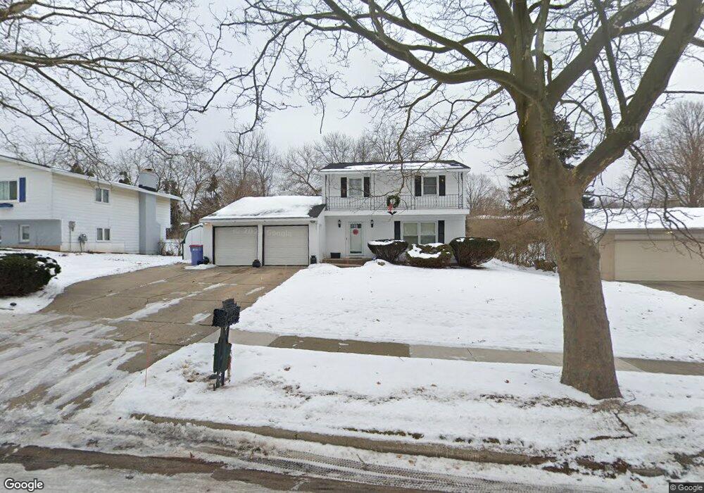
1738 Auburn Ave NE Grand Rapids, MI 49505
North East Citizens Action NeighborhoodEstimated Value: $285,000 - $369,000
--
Bed
1
Bath
1,640
Sq Ft
$201/Sq Ft
Est. Value
About This Home
This home is located at 1738 Auburn Ave NE, Grand Rapids, MI 49505 and is currently estimated at $329,906, approximately $201 per square foot. 1738 Auburn Ave NE is a home located in Kent County with nearby schools including Riverside Middle School, Union High School, and Lighthouse Academy - Waalkes Campus.
Ownership History
Date
Name
Owned For
Owner Type
Purchase Details
Closed on
Apr 25, 2022
Sold by
Curtis Graves
Bought by
Graves Curtis and Graves Ophelia Yvonne
Current Estimated Value
Home Financials for this Owner
Home Financials are based on the most recent Mortgage that was taken out on this home.
Original Mortgage
$160,000
Outstanding Balance
$141,554
Interest Rate
4.38%
Mortgage Type
New Conventional
Estimated Equity
$188,352
Create a Home Valuation Report for This Property
The Home Valuation Report is an in-depth analysis detailing your home's value as well as a comparison with similar homes in the area
Home Values in the Area
Average Home Value in this Area
Purchase History
| Date | Buyer | Sale Price | Title Company |
|---|---|---|---|
| Graves Curtis | -- | None Listed On Document |
Source: Public Records
Mortgage History
| Date | Status | Borrower | Loan Amount |
|---|---|---|---|
| Open | Graves Curtis | $160,000 |
Source: Public Records
Tax History Compared to Growth
Tax History
| Year | Tax Paid | Tax Assessment Tax Assessment Total Assessment is a certain percentage of the fair market value that is determined by local assessors to be the total taxable value of land and additions on the property. | Land | Improvement |
|---|---|---|---|---|
| 2025 | $3,683 | $168,100 | $0 | $0 |
| 2024 | $3,683 | $156,000 | $0 | $0 |
| 2023 | $3,521 | $135,100 | $0 | $0 |
| 2022 | $3,603 | $116,100 | $0 | $0 |
| 2021 | $3,674 | $109,100 | $0 | $0 |
| 2020 | $3,270 | $104,100 | $0 | $0 |
| 2019 | $3,348 | $93,100 | $0 | $0 |
| 2018 | $3,246 | $82,100 | $0 | $0 |
| 2017 | $3,427 | $70,100 | $0 | $0 |
| 2016 | $3,182 | $62,500 | $0 | $0 |
| 2015 | $3,031 | $62,500 | $0 | $0 |
| 2013 | -- | $59,900 | $0 | $0 |
Source: Public Records
Map
Nearby Homes
- 1237 Dale Ct NE
- 1119 Kentwood Dr NE
- 1666 Carlton Ave NE
- 1824 Herrick Ave NE
- 1444 Sweet St NE
- 1335 Knapp St NE
- 2027 Joan Ave NE
- 1524 Sweet St NE
- 1452 Carlton Ave NE
- 2100 Dawson Ave NE
- 1119 Spencer St NE
- 1848 Emerald Ave NE
- 1455 Ball Ave NE
- 1339 Fuller Ave NE
- 1825 Meadowfield Dr NE
- 1757 Westlane Dr NE
- 1238 Carlton Ave NE
- 1250 Mayfield Ave NE
- 1256 Diamond Ave NE
- 1228 Spring Ave NE
- 1732 Auburn Ave NE
- 1746 Auburn Ave NE
- 1765 Benjamin Ave NE
- 1773 Benjamin Ave NE
- 1735 Auburn Ave NE
- 1726 Auburn Ave NE
- 1743 Benjamin Ave NE
- 1754 Auburn Ave NE
- 1785 Benjamin Ave NE
- 1735 Benjamin Ave NE
- 1245 Travis St NE
- 1245 Drexel Ct NE
- 1799 Benjamin Ave NE
- 1720 Auburn Ave NE
- 1725 Benjamin Ave NE
- 1237 Travis St NE
- 1237 Drexel Ct NE
- 1807 Benjamin Ave NE
- 1232 Drexel Ct NE
- 1231 Travis St NE