Estimated Value: $261,489 - $294,000
3
Beds
1
Bath
1,388
Sq Ft
$200/Sq Ft
Est. Value
About This Home
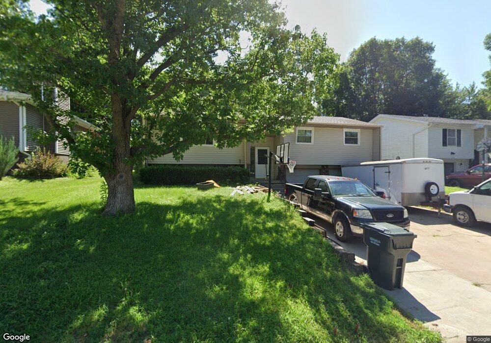
This home is located at 1738 N Laurel St, Wahoo, NE 68066 and is currently estimated at $277,372, approximately $199 per square foot. 1738 N Laurel St is a home located in Saunders County with nearby schools including Wahoo Elementary School, Wahoo Middle School, and Wahoo High School.
Ownership History
Date
Name
Owned For
Owner Type
Purchase Details
Closed on
Jun 14, 2021
Sold by
Jay Morrow Lloyd and Jay Lucinda J
Bought by
Hanson Andrew C
Current Estimated Value
Home Financials for this Owner
Home Financials are based on the most recent Mortgage that was taken out on this home.
Original Mortgage
$216,015
Outstanding Balance
$195,575
Interest Rate
2.9%
Mortgage Type
FHA
Estimated Equity
$81,797
Create a Home Valuation Report for This Property
The Home Valuation Report is an in-depth analysis detailing your home's value as well as a comparison with similar homes in the area
Home Values in the Area
Average Home Value in this Area
Purchase History
| Date | Buyer | Sale Price | Title Company |
|---|---|---|---|
| Hanson Andrew C | -- | None Listed On Document |
Source: Public Records
Mortgage History
| Date | Status | Borrower | Loan Amount |
|---|---|---|---|
| Open | Hanson Andrew C | $216,015 |
Source: Public Records
Tax History Compared to Growth
Tax History
| Year | Tax Paid | Tax Assessment Tax Assessment Total Assessment is a certain percentage of the fair market value that is determined by local assessors to be the total taxable value of land and additions on the property. | Land | Improvement |
|---|---|---|---|---|
| 2024 | $2,833 | $209,302 | $21,678 | $187,624 |
| 2023 | $3,539 | $202,199 | $21,678 | $180,521 |
| 2022 | $3,137 | $167,245 | $21,678 | $145,567 |
| 2021 | $2,651 | $137,506 | $21,678 | $115,828 |
| 2020 | $2,595 | $133,735 | $21,678 | $112,057 |
| 2019 | $2,569 | $129,425 | $21,678 | $107,747 |
| 2018 | $2,665 | $128,610 | $21,680 | $106,930 |
| 2017 | $2,657 | $128,610 | $21,680 | $106,930 |
| 2016 | $2,351 | $112,110 | $21,680 | $90,430 |
| 2015 | $2,368 | $112,110 | $21,680 | $90,430 |
| 2014 | $2,410 | $112,110 | $21,680 | $90,430 |
| 2012 | $2,550 | $112,110 | $21,680 | $90,430 |
Source: Public Records
Map
Nearby Homes
- 651 W 16th St
- 2689 N Oak St
- 820 W 15th St
- 1365 N Chestnut St
- 1775 17th Avenue Rd Unit 2.36 Acres
- 1561 N Linden St
- 2186 N Linden St
- 2228 N Linden St
- 1672 N Linden St
- 1039 N Laurel St
- 670 W 24th Cir
- 656 W 24th Cir
- 720 W 10th St
- 565 W 10th St
- 122 E 10th St
- 428 E 14th St
- 544 W 27th St
- 878 W 8th St
- 758 W Park Cir
- 453 W 7th St
- 648 W 24th Cir
- 760 W 24th Cir
- 745 W 24th Cir
- 1720 N Laurel St
- 1752 N Laurel St
- 1737 N Locust St
- 1770 N Laurel St
- 1753 N Locust St
- 1721 N Locust St
- 1741 N Laurel St
- 1769 N Locust St
- 1705 N Locust St
- 1786 N Laurel St
- 1757 N Laurel St
- 1676 N Laurel St
- 1695 N Laurel St
- 1785 N Locust St
- 1691 N Locust St
- 1785 N Laurel St
- 1660 N Laurel St