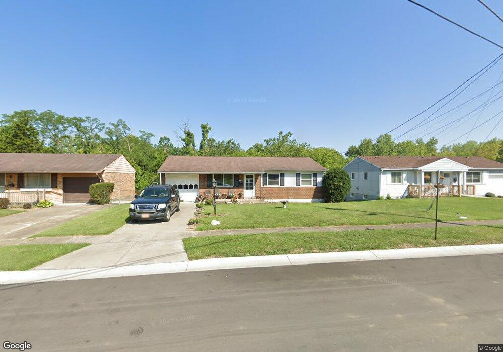
1738 Newbrook Dr Cincinnati, OH 45231
New Burlington NeighborhoodEstimated Value: $173,000 - $195,000
3
Beds
1
Bath
962
Sq Ft
$192/Sq Ft
Est. Value
About This Home
This home is located at 1738 Newbrook Dr, Cincinnati, OH 45231 and is currently estimated at $184,252, approximately $191 per square foot. 1738 Newbrook Dr is a home located in Hamilton County with nearby schools including Mt Healthy High School and Central Montessori Academy.
Ownership History
Date
Name
Owned For
Owner Type
Purchase Details
Closed on
Mar 3, 2012
Sold by
Anderson Otto
Bought by
Anderson Teresa Lucille
Current Estimated Value
Create a Home Valuation Report for This Property
The Home Valuation Report is an in-depth analysis detailing your home's value as well as a comparison with similar homes in the area
Home Values in the Area
Average Home Value in this Area
Purchase History
| Date | Buyer | Sale Price | Title Company |
|---|---|---|---|
| Anderson Teresa Lucille | -- | Attorney |
Source: Public Records
Tax History
| Year | Tax Paid | Tax Assessment Tax Assessment Total Assessment is a certain percentage of the fair market value that is determined by local assessors to be the total taxable value of land and additions on the property. | Land | Improvement |
|---|---|---|---|---|
| 2025 | $2,604 | $43,680 | $8,057 | $35,623 |
| 2024 | $2,581 | $43,680 | $8,057 | $35,623 |
| 2023 | $2,455 | $43,680 | $8,057 | $35,623 |
| 2022 | $2,433 | $31,928 | $7,837 | $24,091 |
| 2021 | $2,368 | $31,928 | $7,837 | $24,091 |
| 2020 | $2,403 | $31,928 | $7,837 | $24,091 |
| 2019 | $2,025 | $25,141 | $6,171 | $18,970 |
| 2018 | $2,037 | $25,141 | $6,171 | $18,970 |
| 2017 | $1,933 | $25,141 | $6,171 | $18,970 |
| 2016 | $1,824 | $23,366 | $5,698 | $17,668 |
| 2015 | $1,838 | $23,366 | $5,698 | $17,668 |
| 2014 | $1,829 | $23,366 | $5,698 | $17,668 |
| 2013 | $2,034 | $26,551 | $6,475 | $20,076 |
Source: Public Records
Map
Nearby Homes
- 624 Brightview Dr
- 626 Brightview Dr
- 606 Brightview Dr
- 610 Brightview Dr
- 622 Brightview Dr
- 614 Brightview Dr
- 616 Brightview Dr
- 620 Brightview Dr
- 612 Brightview Dr
- 604 Brightview Dr
- 1805 Miles Rd
- 616 Brightview Place Unit 28
- 610 Brightview Place Unit 31
- 622 Brightview Place Unit 26
- 612 Brightview Place Unit 30
- 626 Brightview Place Unit 24
- 620 Brightview Place Unit 27
- 624 Brightview Place Unit 25
- 614 Brightview Place Unit 29
- 606 Brightview Place Unit 32
- 1734 Newbrook Dr
- 1742 Newbrook Dr
- 1730 Newbrook Dr
- 1746 Newbrook Dr
- 1733 Newbrook Dr
- 1726 Newbrook Dr
- 1750 Newbrook Dr
- 1737 Newbrook Dr
- 1745 Newbrook Dr
- 1725 Newbrook Dr
- 1741 Newbrook Dr
- 1722 Newbrook Dr
- 9859 Playtime Ln
- 9847 Playtime Ln
- 1718 Newbrook Dr
- 9837 Playtime Ln
- 1760 Hudepohl Ln
- 1752 Hudepohl Ln
- 1768 Hudepohl Ln
- 1744 Hudepohl Ln
Your Personal Tour Guide
Ask me questions while you tour the home.