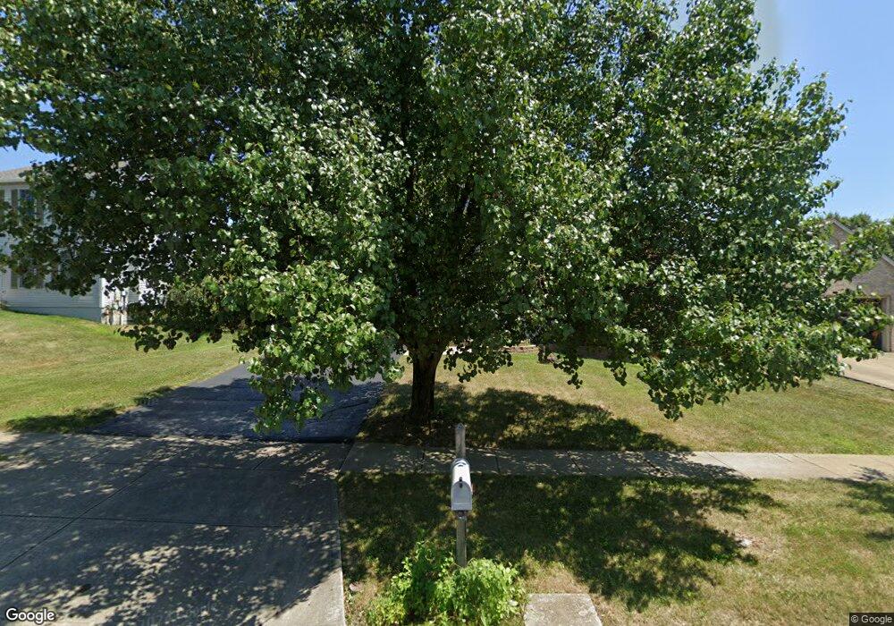
1738 Tecumseh Dr Lancaster, OH 43130
Estimated Value: $282,000 - $303,000
3
Beds
2
Baths
1,350
Sq Ft
$213/Sq Ft
Est. Value
About This Home
This home is located at 1738 Tecumseh Dr, Lancaster, OH 43130 and is currently estimated at $287,876, approximately $213 per square foot. 1738 Tecumseh Dr is a home located in Fairfield County with nearby schools including Tarhe Elementary School, General Sherman Junior High School, and Lancaster High School.
Ownership History
Date
Name
Owned For
Owner Type
Purchase Details
Closed on
Apr 4, 2005
Sold by
Rapp Edward E and Rapp Nicole L
Bought by
Miller William D and Miller Denise
Current Estimated Value
Purchase Details
Closed on
Dec 2, 2002
Sold by
Long Lance M
Bought by
Rapp Edward E and Rapp Nicole L
Home Financials for this Owner
Home Financials are based on the most recent Mortgage that was taken out on this home.
Original Mortgage
$130,427
Outstanding Balance
$53,365
Interest Rate
6.22%
Mortgage Type
FHA
Estimated Equity
$234,511
Purchase Details
Closed on
Jul 29, 1997
Sold by
Dominion Homes Inc
Bought by
Barber Kimberly A D Hall and Barber Willard J
Home Financials for this Owner
Home Financials are based on the most recent Mortgage that was taken out on this home.
Original Mortgage
$117,994
Interest Rate
7.81%
Mortgage Type
FHA
Create a Home Valuation Report for This Property
The Home Valuation Report is an in-depth analysis detailing your home's value as well as a comparison with similar homes in the area
Home Values in the Area
Average Home Value in this Area
Purchase History
| Date | Buyer | Sale Price | Title Company |
|---|---|---|---|
| Miller William D | $133,000 | -- | |
| Rapp Edward E | $132,500 | -- | |
| Barber Kimberly A D Hall | $120,950 | -- |
Source: Public Records
Mortgage History
| Date | Status | Borrower | Loan Amount |
|---|---|---|---|
| Open | Rapp Edward E | $130,427 | |
| Previous Owner | Barber Kimberly A D Hall | $117,994 |
Source: Public Records
Tax History
| Year | Tax Paid | Tax Assessment Tax Assessment Total Assessment is a certain percentage of the fair market value that is determined by local assessors to be the total taxable value of land and additions on the property. | Land | Improvement |
|---|---|---|---|---|
| 2025 | $5,353 | $74,880 | $21,990 | $52,890 |
| 2024 | $5,353 | $59,540 | $10,190 | $49,350 |
| 2023 | $1,832 | $59,540 | $10,190 | $49,350 |
| 2022 | $1,855 | $59,540 | $10,190 | $49,350 |
| 2021 | $1,445 | $45,830 | $9,270 | $36,560 |
| 2020 | $463 | $45,830 | $9,270 | $36,560 |
| 2019 | $1,317 | $45,830 | $9,270 | $36,560 |
| 2018 | $348 | $40,720 | $9,270 | $31,450 |
| 2017 | $1,162 | $39,810 | $8,360 | $31,450 |
| 2016 | $1,131 | $39,810 | $8,360 | $31,450 |
| 2015 | $1,113 | $38,410 | $8,360 | $30,050 |
| 2014 | $1,060 | $38,410 | $8,360 | $30,050 |
| 2013 | $1,060 | $38,410 | $8,360 | $30,050 |
Source: Public Records
Map
Nearby Homes
- 2560 Fox Trail Dr
- 2634 Little Pine Ln
- 2634 Fernwood Ave
- 2434 Running Brook Ave
- 2678 Fernwood Ave
- 2422 Long Bow Ave
- 2445 Columbus Lancaster Rd NW Unit 383 Hemlock
- 2445 Columbus Lancaster Rd NW Unit lot 274
- 2445 Columbus Lancaster Rd NW Unit 246
- 2445 Columbus-Lancaster Rd NW Unit LOT 87
- 2445 Columbus-Lancaster Rd NW Unit 409
- 338 Scott Dr
- 2014 N Columbus St
- 3076 Lithopolis Rd NW
- 331 16th St
- 1836 Glenmar Dr
- 2603 Misty Meadows Ave
- 115 6th N
- 82 W 5th St
- 81 W 5th St
- 1730 Tecumseh Dr
- 1744 Tecumseh Dr
- 1751 Quail Meadows Dr
- 1722 Tecumseh Dr
- 1735 Quail Meadows Dr
- 1716 Tecumseh Dr
- 1731 Quail Meadows Dr
- 1739 Tecumseh Dr
- 1733 Tecumseh Dr
- 1760 Tecumseh Dr
- 1743 Tecumseh Dr
- 1727 Tecumseh Dr
- 1712 Tecumseh Dr
- 1762 Quail Meadows Dr
- 1758 Quail Meadows Dr
- 1752 Quail Meadows Dr
- 1751 Tecumseh Dr
- 1721 Tecumseh Dr
- 1723 Quail Meadows Dr
- 1748 Quail Meadows Dr
Your Personal Tour Guide
Ask me questions while you tour the home.