17381 W Burt Rd Chesaning, MI 48616
Estimated Value: $226,000 - $374,394
3
Beds
2
Baths
2,156
Sq Ft
$143/Sq Ft
Est. Value
About This Home
This home is located at 17381 W Burt Rd, Chesaning, MI 48616 and is currently estimated at $308,798, approximately $143 per square foot. 17381 W Burt Rd is a home with nearby schools including Big Rock Elementary School, Chesaning Middle School, and Chesaning Union High School.
Ownership History
Date
Name
Owned For
Owner Type
Purchase Details
Closed on
Apr 23, 1999
Sold by
Brevis Margaret I and Brevis Clare J
Bought by
Carlton Philip R
Current Estimated Value
Home Financials for this Owner
Home Financials are based on the most recent Mortgage that was taken out on this home.
Original Mortgage
$47,000
Interest Rate
6.66%
Mortgage Type
Purchase Money Mortgage
Purchase Details
Closed on
Jan 26, 1995
Create a Home Valuation Report for This Property
The Home Valuation Report is an in-depth analysis detailing your home's value as well as a comparison with similar homes in the area
Home Values in the Area
Average Home Value in this Area
Purchase History
| Date | Buyer | Sale Price | Title Company |
|---|---|---|---|
| Carlton Philip R | $65,000 | Centennial Title & Abstract | |
| -- | $65,000 | -- |
Source: Public Records
Mortgage History
| Date | Status | Borrower | Loan Amount |
|---|---|---|---|
| Closed | Carlton Philip R | $47,000 |
Source: Public Records
Tax History Compared to Growth
Tax History
| Year | Tax Paid | Tax Assessment Tax Assessment Total Assessment is a certain percentage of the fair market value that is determined by local assessors to be the total taxable value of land and additions on the property. | Land | Improvement |
|---|---|---|---|---|
| 2025 | $3,958 | $169,500 | $0 | $0 |
| 2024 | $1,229 | $164,700 | $0 | $0 |
| 2023 | $1,170 | $130,100 | $0 | $0 |
| 2022 | $3,458 | $124,900 | $0 | $0 |
| 2021 | $3,202 | $124,900 | $0 | $0 |
| 2020 | $3,135 | $162,800 | $0 | $0 |
| 2019 | $3,031 | $164,200 | $69,200 | $95,000 |
| 2018 | $1,021 | $149,000 | $0 | $0 |
| 2017 | $2,692 | $142,900 | $0 | $0 |
| 2016 | $2,692 | $141,600 | $0 | $0 |
| 2014 | -- | $135,900 | $0 | $83,000 |
| 2013 | -- | $135,000 | $0 | $0 |
Source: Public Records
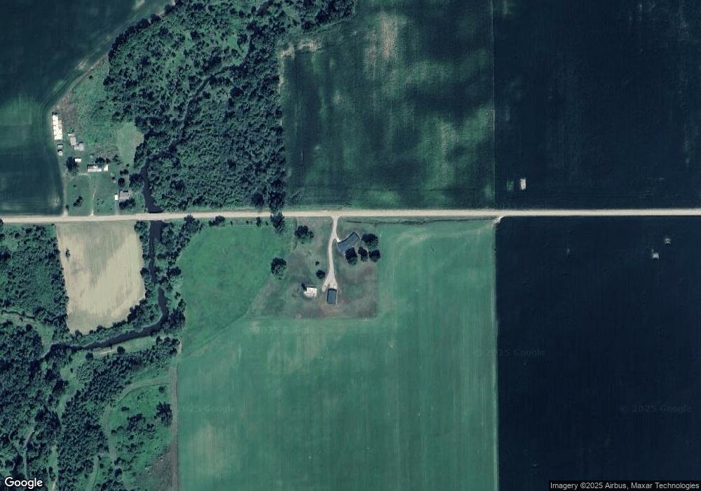
Map
Nearby Homes
- 19725 W Burt Rd
- 00 Raucholz Rd
- 10854 S Hemlock Rd
- 15530 Fowler Rd
- 10210 S Brennan Rd
- 14454 Raucholz Rd
- 14550 W Brady Rd
- 13715 Baldwin Rd
- 8700 S Hemlock Rd
- 12465 Fergus Rd
- 12091 S Meridian Rd
- 16350 Oakley Rd
- 16753 S Fenmore Rd
- 9847 Oakley Rd
- 7585 S Steel Rd
- 13165 Ithaca Rd
- 10462 S Graham Rd
- V/L #4 Brookshire Dr
- V/L #5 Brookshire Dr
- 18575 S Raucholz Rd
- 17714 W Burt Rd
- 17289 W Burt Rd
- 17191 W Burt Rd
- 12743 Fowler Rd
- 17200 W Burt Rd
- 12671 Fowler Rd
- 12503 Fowler Rd
- 13248 Fowler Rd
- 13248 Fowler Rd
- 17030 W Burt Rd
- 17101 W Burt Rd
- 13447 Fowler Rd
- 12904 S Brennan Rd
- 12858 S Brennan Rd
- 17000 W Burt Rd
- 12512 Fowler Rd
- 12000 Fowler Rd
- 13476 Brennan Rd
- 13105 Brennan Rd
- 13502 Fowler Rd