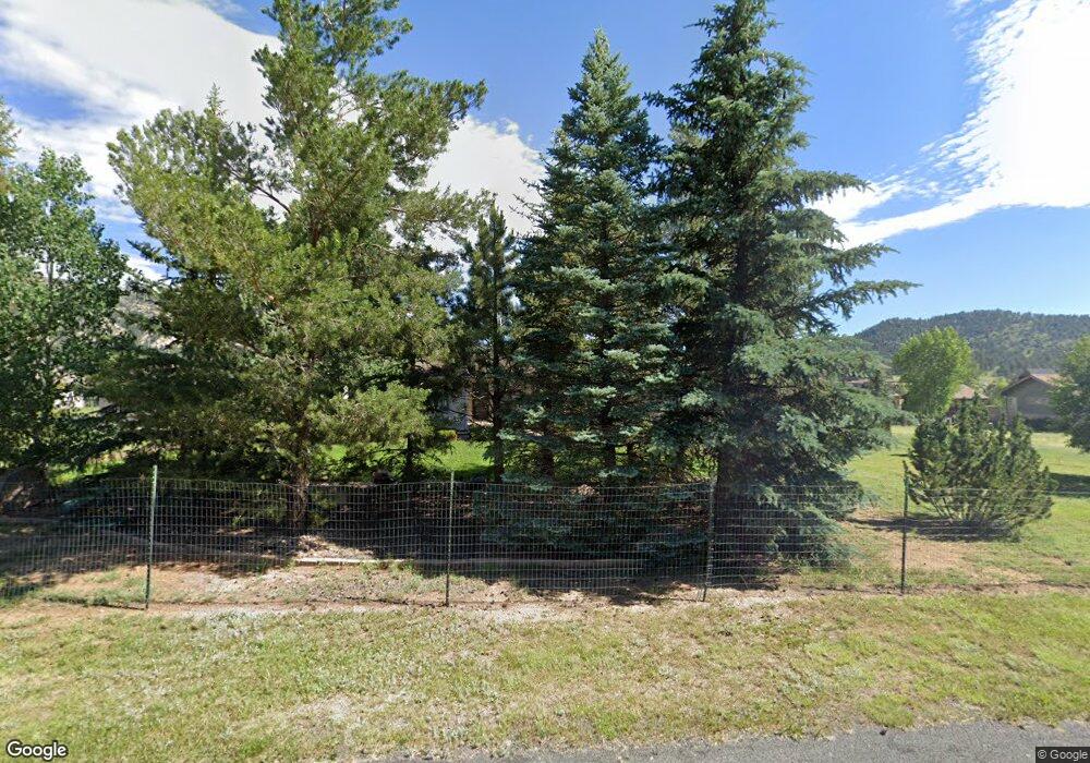
1739 High Pine Dr Estes Park, CO 80517
Estimated Value: $764,924 - $969,000
3
Beds
2
Baths
2,211
Sq Ft
$391/Sq Ft
Est. Value
About This Home
This home is located at 1739 High Pine Dr, Estes Park, CO 80517 and is currently estimated at $864,481, approximately $390 per square foot. 1739 High Pine Dr is a home located in Larimer County with nearby schools including Estes Park K-5 School, Estes Park Options School, and Estes Park Middle School.
Ownership History
Date
Name
Owned For
Owner Type
Purchase Details
Closed on
Sep 29, 2004
Sold by
Cox Jack M
Bought by
Deister James M and Deister Diane M
Current Estimated Value
Purchase Details
Closed on
Jun 25, 2004
Sold by
Jeune Donald E and Jeune Gloria A
Bought by
Cox Jack M
Home Financials for this Owner
Home Financials are based on the most recent Mortgage that was taken out on this home.
Original Mortgage
$264,400
Interest Rate
6.3%
Mortgage Type
Purchase Money Mortgage
Purchase Details
Closed on
Jul 1, 1993
Sold by
Livingston Charles W
Bought by
Jeune Donald E
Purchase Details
Closed on
Jun 1, 1993
Sold by
Livingston Deloros
Bought by
Livingston Charles W
Purchase Details
Closed on
May 1, 1993
Sold by
Livingston Charles W
Bought by
Livingsotn Charles W
Create a Home Valuation Report for This Property
The Home Valuation Report is an in-depth analysis detailing your home's value as well as a comparison with similar homes in the area
Home Values in the Area
Average Home Value in this Area
Purchase History
| Date | Buyer | Sale Price | Title Company |
|---|---|---|---|
| Deister James M | $334,000 | Fahtco | |
| Cox Jack M | $330,500 | -- | |
| Jeune Donald E | $145,000 | -- | |
| Livingston Charles W | -- | -- | |
| Livingsotn Charles W | -- | -- |
Source: Public Records
Mortgage History
| Date | Status | Borrower | Loan Amount |
|---|---|---|---|
| Previous Owner | Cox Jack M | $264,400 |
Source: Public Records
Tax History Compared to Growth
Tax History
| Year | Tax Paid | Tax Assessment Tax Assessment Total Assessment is a certain percentage of the fair market value that is determined by local assessors to be the total taxable value of land and additions on the property. | Land | Improvement |
|---|---|---|---|---|
| 2025 | $3,197 | $54,029 | $13,367 | $40,662 |
| 2024 | $3,142 | $54,029 | $13,367 | $40,662 |
| 2022 | $2,626 | $41,332 | $12,510 | $28,822 |
| 2021 | $2,696 | $42,521 | $12,870 | $29,651 |
| 2020 | $3,035 | $46,475 | $13,299 | $33,176 |
| 2019 | $3,019 | $46,475 | $13,299 | $33,176 |
| 2018 | $2,089 | $33,595 | $10,512 | $23,083 |
| 2017 | $2,100 | $33,595 | $10,512 | $23,083 |
| 2016 | $1,923 | $33,575 | $10,587 | $22,988 |
| 2015 | $1,943 | $33,580 | $10,590 | $22,990 |
| 2014 | $2,243 | $30,320 | $10,350 | $19,970 |
Source: Public Records
Map
Nearby Homes
- 1770 Continental Peaks Cir
- 1760 Continental Peaks Cir
- 1780 Continental Peaks Cir
- 1750 Continental Peaks Cir
- 1790 Continental Peaks Cir
- 1700 Continental Peaks Cir
- 1700 Wildfire Rd Unit 201
- 1700 Wildfire Rd Unit 301
- 1700 Wildfire Rd Unit 302
- 1802 Wildfire Rd Unit 302
- 1734 Wildfire Rd Unit 204
- 1734 Wildfire Rd Unit 102
- 1690 Continental Peaks Cir
- 1707 Continental Peaks Cir
- 1705 Continental Peaks Cir
- 1701 Continental Peaks Cir
- 1680 Continental Peaks Cir
- 1728 Continental Peaks Cir
- 1724 Continental Peaks Cir
- 1722 Continental Peaks Cir
- 1759 High Pine Dr
- 1719 High Pine Dr
- 1740 High Pine Dr
- 1720 High Pine Dr
- 1836 Wildfire Rd Unit 204
- 1836 Wildfire Rd Unit 303
- 1836 Wildfire Rd Unit 302
- 1836 Wildfire Rd Unit 202
- 1836 Wildfire Rd
- 1836 Wildfire Rd Unit 301
- 1836 Wildfire Rd Unit 201
- 1836 Wildfire Rd Unit 203
- 1760 High Pine Dr
- 1700 Wildfire Rd Unit 202
- 1700 Wildfire Rd Unit 204
- 1700 Wildfire Rd Unit 101
- 1700 Wildfire Rd Unit 102
- 1700 Wildfire Rd Unit 203
- 1802 Wildfire Rd Unit 203
- 1802 Wildfire Rd Unit 301
