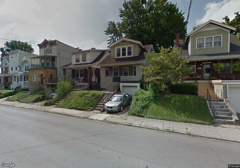
1739 Sherman Ave Cincinnati, OH 45212
Estimated Value: $98,000 - $205,000
2
Beds
2
Baths
1,129
Sq Ft
$143/Sq Ft
Est. Value
About This Home
This home is located at 1739 Sherman Ave, Cincinnati, OH 45212 and is currently estimated at $161,354, approximately $142 per square foot. 1739 Sherman Ave is a home located in Hamilton County with nearby schools including Norwood High School, Cornerstone Christian Academy, and Immaculate Conception Academy.
Ownership History
Date
Name
Owned For
Owner Type
Purchase Details
Closed on
Dec 10, 2019
Sold by
Ritchie Leslie A
Bought by
Shermo Holding Llc
Current Estimated Value
Purchase Details
Closed on
Nov 15, 2000
Sold by
Melching Andrea J
Bought by
Ritchie Leslie A
Home Financials for this Owner
Home Financials are based on the most recent Mortgage that was taken out on this home.
Original Mortgage
$63,578
Interest Rate
7.7%
Purchase Details
Closed on
Apr 1, 1994
Sold by
Kelley Barbara A and Kelley Edward A
Bought by
Melching Andrea J
Home Financials for this Owner
Home Financials are based on the most recent Mortgage that was taken out on this home.
Original Mortgage
$51,511
Interest Rate
7.35%
Create a Home Valuation Report for This Property
The Home Valuation Report is an in-depth analysis detailing your home's value as well as a comparison with similar homes in the area
Home Values in the Area
Average Home Value in this Area
Purchase History
| Date | Buyer | Sale Price | Title Company |
|---|---|---|---|
| Shermo Holding Llc | $65,000 | None Available | |
| Ritchie Leslie A | $67,000 | -- | |
| Melching Andrea J | -- | -- |
Source: Public Records
Mortgage History
| Date | Status | Borrower | Loan Amount |
|---|---|---|---|
| Previous Owner | Ritchie Leslie A | $63,578 | |
| Previous Owner | Melching Andrea J | $51,511 |
Source: Public Records
Tax History
| Year | Tax Paid | Tax Assessment Tax Assessment Total Assessment is a certain percentage of the fair market value that is determined by local assessors to be the total taxable value of land and additions on the property. | Land | Improvement |
|---|---|---|---|---|
| 2025 | $2,167 | $40,688 | $8,512 | $32,176 |
| 2023 | $2,180 | $40,688 | $8,512 | $32,176 |
| 2022 | $1,448 | $22,750 | $5,719 | $17,031 |
| 2021 | $1,435 | $22,750 | $5,719 | $17,031 |
| 2020 | $1,404 | $22,750 | $5,719 | $17,031 |
| 2019 | $982 | $23,983 | $5,016 | $18,967 |
| 2018 | $983 | $23,983 | $5,016 | $18,967 |
| 2017 | $922 | $23,983 | $5,016 | $18,967 |
| 2016 | $932 | $23,752 | $4,715 | $19,037 |
| 2015 | $836 | $23,752 | $4,715 | $19,037 |
| 2014 | $836 | $23,752 | $4,715 | $19,037 |
| 2013 | $1,408 | $25,267 | $5,016 | $20,251 |
Source: Public Records
Map
Nearby Homes
- 1762 Cleveland Ave
- 1701 Sherman Ave
- 1812 Tilden Ave
- 1816 Cleveland Ave
- 1819 Maple Ave
- 1827 Maple Ave
- 1841 Mills Ave
- 1901 Sherman Ave
- 4635 Baker St
- 1808 Maple Ave
- 3 Baker Cir
- 1907 Crown Ave
- 1952 Maple Ave
- 4719 Section Ave
- 2043 Lawrence Ave
- 2005 Crown Ave
- 1839 Hopkins Ave
- 2030 Elm Ave
- 2049 Sherman Ave
- 1354 Avon Dr
- 1737 Sherman Ave
- 1743 Sherman Ave
- 1731 Sherman Ave
- 1745 Sherman Ave
- 1747 Sherman Ave
- 1727 Sherman Ave
- 1734 Cleveland Ave
- 1740 Cleveland Ave
- 1736 Sherman Ave
- 1730 Cleveland Ave
- 1740 Sherman Ave Unit 1-6
- 1749 Sherman Ave
- 1726 Cleveland Ave
- 1723 Sherman Ave
- 1746 Cleveland Ave
- 1768 Cleveland Ave
- 1732 Sherman Ave
- 4608 Mcneil Ave
- 1728 Sherman Ave
- 1722 Cleveland Ave
Your Personal Tour Guide
Ask me questions while you tour the home.