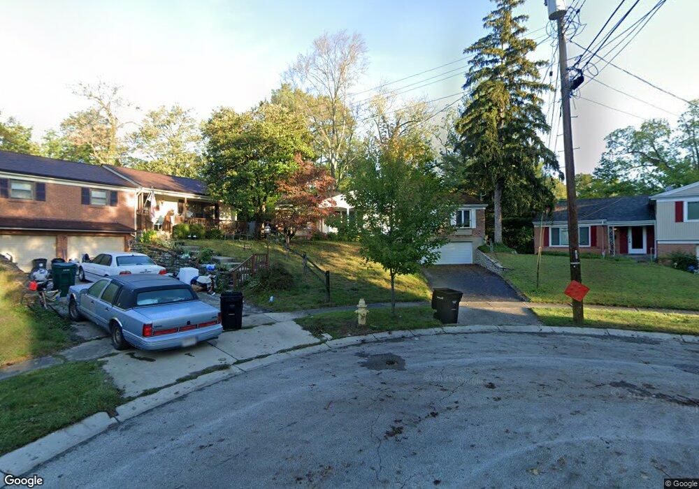
1739 Tiffany Ln Cincinnati, OH 45230
Mount Washington NeighborhoodEstimated Value: $331,000 - $347,553
3
Beds
2
Baths
1,810
Sq Ft
$186/Sq Ft
Est. Value
About This Home
This home is located at 1739 Tiffany Ln, Cincinnati, OH 45230 and is currently estimated at $337,388, approximately $186 per square foot. 1739 Tiffany Ln is a home located in Hamilton County with nearby schools including Mt. Washington Elementary School, Clark Montessori High School, and Shroder High School.
Ownership History
Date
Name
Owned For
Owner Type
Purchase Details
Closed on
Dec 11, 2007
Sold by
Parish Stuart T
Bought by
Parish Stuart T and Parish Kristi
Current Estimated Value
Purchase Details
Closed on
Aug 14, 1997
Sold by
Delorenzo Dino A and Delorenzo Elinor L
Bought by
Parish Stuart T
Home Financials for this Owner
Home Financials are based on the most recent Mortgage that was taken out on this home.
Original Mortgage
$111,400
Outstanding Balance
$16,948
Interest Rate
7.71%
Estimated Equity
$320,440
Purchase Details
Closed on
Jun 10, 1996
Sold by
Delorenzo Dino A and De Lorenzo Elinor L
Bought by
Delorenzo Dino A and Delorenzo Elinor L
Create a Home Valuation Report for This Property
The Home Valuation Report is an in-depth analysis detailing your home's value as well as a comparison with similar homes in the area
Home Values in the Area
Average Home Value in this Area
Purchase History
| Date | Buyer | Sale Price | Title Company |
|---|---|---|---|
| Parish Stuart T | -- | Attorney | |
| Parish Stuart T | $139,300 | -- | |
| Delorenzo Dino A | -- | -- |
Source: Public Records
Mortgage History
| Date | Status | Borrower | Loan Amount |
|---|---|---|---|
| Open | Parish Stuart T | $111,400 |
Source: Public Records
Tax History Compared to Growth
Tax History
| Year | Tax Paid | Tax Assessment Tax Assessment Total Assessment is a certain percentage of the fair market value that is determined by local assessors to be the total taxable value of land and additions on the property. | Land | Improvement |
|---|---|---|---|---|
| 2024 | $5,427 | $90,888 | $10,395 | $80,493 |
| 2023 | $5,548 | $90,888 | $10,395 | $80,493 |
| 2022 | $3,911 | $57,432 | $8,778 | $48,654 |
| 2021 | $3,765 | $57,432 | $8,778 | $48,654 |
| 2020 | $3,874 | $57,432 | $8,778 | $48,654 |
| 2019 | $3,715 | $50,379 | $7,700 | $42,679 |
| 2018 | $3,721 | $50,379 | $7,700 | $42,679 |
| 2017 | $3,535 | $50,379 | $7,700 | $42,679 |
| 2016 | $4,011 | $56,368 | $7,700 | $48,668 |
| 2015 | $3,616 | $56,368 | $7,700 | $48,668 |
| 2014 | $3,642 | $56,368 | $7,700 | $48,668 |
| 2013 | $3,705 | $56,368 | $7,700 | $48,668 |
Source: Public Records
Map
Nearby Homes
- 6390 Cambridge Ave
- 6258 Benneville St
- 1605 Marlou Ln
- 6510 Waldorf Place
- 1944 Rockland Ave
- 6137 Benneville St
- 1739 Marquette Ave
- 0 Berkshire Ln Unit 1835041
- 4 Cottage Ct
- 1634 Brandon Ave
- 2091 Wadsbury Dr
- 1844 Lindsey Ln
- 6537 Craigland Ct
- 1405 Dyer Ave
- 7179 Paddison Rd
- 6745 Maddux Dr
- 6114 Glade Ave
- 1549 Sutton Ave
- 6146 Mariwood Ln
- 2220 Salvador St
- 1735 Tiffany Ln
- 1800 Belle Meade Ct Unit 9
- 1802 Belle Meade Ct
- 1740 Tiffany Ln
- 1731 Tiffany Ln
- 1806 Belle Meade Ct Unit 8
- 1801 Belle Meade Ct Unit 11
- 1817 Belle Meade Ct Unit 18
- 1819 Belle Meade Ct
- 1814 Belle Meade Ct Unit 4
- 1810 Belle Meade Ct
- 1815 Belle Meade Ct
- 1809 Belle Meade Ct Unit 15
- 1811 Belle Meade Ct
- 1821 Belle Meade Ct
- 1803 Belle Meade Ct
- 1804 Belle Meade Ct
- 1816 Belle Meade Ct
- 1810 Belle Meade Ct Unit 2
- 1821 Bellemeade Ct