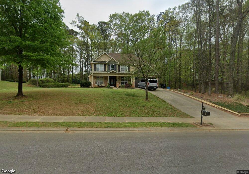
174 Adams Point Dr Garner, NC 27529
Cleveland NeighborhoodEstimated Value: $474,085 - $520,000
4
Beds
3
Baths
2,600
Sq Ft
$192/Sq Ft
Est. Value
About This Home
This home is located at 174 Adams Point Dr, Garner, NC 27529 and is currently estimated at $499,521, approximately $192 per square foot. 174 Adams Point Dr is a home located in Johnston County with nearby schools including West View Elementary School, Cleveland Middle School, and West Johnston High School.
Ownership History
Date
Name
Owned For
Owner Type
Purchase Details
Closed on
Apr 13, 2007
Sold by
Southpoint Homes Llc
Bought by
Prado Paul C and Prado Robin Sue
Current Estimated Value
Home Financials for this Owner
Home Financials are based on the most recent Mortgage that was taken out on this home.
Original Mortgage
$190,000
Outstanding Balance
$114,626
Interest Rate
6.11%
Mortgage Type
Purchase Money Mortgage
Estimated Equity
$384,895
Create a Home Valuation Report for This Property
The Home Valuation Report is an in-depth analysis detailing your home's value as well as a comparison with similar homes in the area
Home Values in the Area
Average Home Value in this Area
Purchase History
| Date | Buyer | Sale Price | Title Company |
|---|---|---|---|
| Prado Paul C | $250,000 | None Available |
Source: Public Records
Mortgage History
| Date | Status | Borrower | Loan Amount |
|---|---|---|---|
| Open | Prado Paul C | $190,000 |
Source: Public Records
Tax History Compared to Growth
Tax History
| Year | Tax Paid | Tax Assessment Tax Assessment Total Assessment is a certain percentage of the fair market value that is determined by local assessors to be the total taxable value of land and additions on the property. | Land | Improvement |
|---|---|---|---|---|
| 2025 | $2,787 | $438,890 | $70,000 | $368,890 |
| 2024 | $2,298 | $283,720 | $48,000 | $235,720 |
| 2023 | $2,220 | $283,720 | $48,000 | $235,720 |
| 2022 | $2,334 | $283,720 | $48,000 | $235,720 |
| 2021 | $2,334 | $283,720 | $48,000 | $235,720 |
| 2020 | $2,362 | $283,720 | $48,000 | $235,720 |
| 2019 | $2,362 | $283,720 | $48,000 | $235,720 |
| 2018 | $2,220 | $260,460 | $44,000 | $216,460 |
| 2017 | $2,220 | $260,460 | $44,000 | $216,460 |
| 2016 | $2,220 | $260,460 | $44,000 | $216,460 |
| 2015 | $2,220 | $260,460 | $44,000 | $216,460 |
| 2014 | $2,220 | $260,460 | $44,000 | $216,460 |
Source: Public Records
Map
Nearby Homes
- 75 Fawn Hill Ct
- 181 Fawn Hill Ct
- 413 Fieldtrial Cir
- Roanoke Plan at Brant Station
- Fontana Plan at Brant Station
- Avenel II Plan at Brant Station
- 146 Shadowbark Dr
- 325 Airedale Trail
- 39 Beau Dr
- 394 Airedale Trail
- 115 Unique Place
- 111 Artic Cir
- 1037 Olive Dr
- 58 Larkwood Ln
- 165 Rynal Dr
- 36 Labradoodle Ct
- 386 Artic Cir
- 291 Artic Cir
- 1152 Black Angus Dr
- 51 Makers Way
- 194 Adams Point Dr
- 364 Adams Point Dr
- 243 Adams Point Dr
- 1750 Old Drug Store Rd
- 214 Adams Point Dr
- 137 Adams Point Dr
- 234 Adams Point Dr
- 1715 Old Drug Store Rd
- 1701 Old Drug Store Rd
- 1721 Old Drug Store Rd
- 82 Adams Point Dr
- 250 Adams Point Dr
- 1252 Fieldtrial Cir
- 1228 Fieldtrial Cir
- 1228 Fieldtrial Cir Unit Carso
- 99 Adams Point Dr
- 1260 Fieldtrial Cir
- 1671 Old Drug Store Rd
- 255 Adams Point Dr
- 1204 Fieldtrial Cir