174 Arrowhead Cir Ashland, MA 01721
Estimated Value: $609,000 - $637,000
2
Beds
3
Baths
1,944
Sq Ft
$320/Sq Ft
Est. Value
About This Home
This home is located at 174 Arrowhead Cir, Ashland, MA 01721 and is currently estimated at $622,599, approximately $320 per square foot. 174 Arrowhead Cir is a home located in Middlesex County with nearby schools including William Pittaway Elementary School, Henry E. Warren Elementary School, and David Mindess Elementary School.
Ownership History
Date
Name
Owned For
Owner Type
Purchase Details
Closed on
Nov 2, 2006
Sold by
Baron Barbara
Bought by
Baron Barbara J and Sjostedt Richard A
Current Estimated Value
Purchase Details
Closed on
Mar 23, 2001
Sold by
Weiner Edward I and Weiner Janet N
Bought by
Baron Barbara
Home Financials for this Owner
Home Financials are based on the most recent Mortgage that was taken out on this home.
Original Mortgage
$175,000
Interest Rate
6.93%
Mortgage Type
Purchase Money Mortgage
Create a Home Valuation Report for This Property
The Home Valuation Report is an in-depth analysis detailing your home's value as well as a comparison with similar homes in the area
Home Values in the Area
Average Home Value in this Area
Purchase History
| Date | Buyer | Sale Price | Title Company |
|---|---|---|---|
| Baron Barbara J | $169,000 | -- | |
| Baron Barbara | $315,000 | -- |
Source: Public Records
Mortgage History
| Date | Status | Borrower | Loan Amount |
|---|---|---|---|
| Previous Owner | Baron Barbara | $175,000 | |
| Previous Owner | Baron Barbara | $176,600 | |
| Previous Owner | Baron Barbara | $75,000 |
Source: Public Records
Tax History
| Year | Tax Paid | Tax Assessment Tax Assessment Total Assessment is a certain percentage of the fair market value that is determined by local assessors to be the total taxable value of land and additions on the property. | Land | Improvement |
|---|---|---|---|---|
| 2025 | $6,851 | $536,500 | $0 | $536,500 |
| 2024 | $6,641 | $501,600 | $0 | $501,600 |
| 2023 | $6,157 | $447,100 | $0 | $447,100 |
| 2022 | $6,236 | $392,700 | $0 | $392,700 |
| 2021 | $6,039 | $379,080 | $0 | $379,080 |
| 2020 | $5,780 | $357,700 | $0 | $357,700 |
| 2019 | $5,381 | $330,500 | $0 | $330,500 |
| 2018 | $5,166 | $311,000 | $0 | $311,000 |
| 2017 | $4,870 | $291,600 | $0 | $291,600 |
| 2016 | $4,825 | $283,800 | $0 | $283,800 |
| 2015 | $4,776 | $276,048 | $0 | $276,048 |
| 2014 | $4,598 | $264,400 | $0 | $264,400 |
Source: Public Records
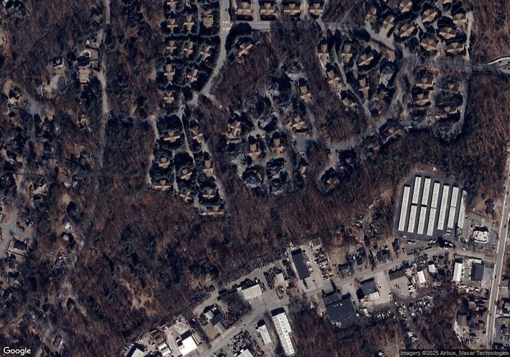
Map
Nearby Homes
- 102 Captain Eames Cir
- 2 Arrowhead Cir Unit 2
- 45 Half Crown Cir
- 140 Algonquin Trail
- 37 James Rd
- 207 Eliot St
- 9 Mountain Gate Rd
- 363 Eliot St
- 26 Meeting House Path Unit 26
- 2 Adams Rd Unit 2
- 74 Meeting House Path
- 241 Trailside Way
- 306 Trailside Way
- 20 Mulhall Dr
- 437 America Blvd Unit 437
- 147 Turner Rd Unit 80
- 431 America Blvd Unit 64D
- 1 Adams Ln Unit 1
- 9 Adams Ln Unit 9
- 15 Bates Rd
- 158 Arrowhead Cir
- 160 Arrowhead Cir
- 176 Arrowhead Cir
- 160 Arrowhead Cir Unit 160
- 160 Arrowhead Cir Unit D,107
- 156 Arrowhead Cir
- 154 Arrowhead Cir
- 138 Arrowhead Cir
- 140 Arrowhead Cir
- 152 Arrowhead Cir
- 150 Arrowhead Cir
- 130 Arrowhead Cir
- 132 Arrowhead Cir
- 130 Arrowhead Cir Unit 130
- 130 Arrowhead Cir Unit 108C
- 172 Arrowhead Cir
- 206 Arrowhead Cir
- 204 Arrowhead Cir
- 170 Arrowhead Cir
- 170 Arrowhead Cir Unit 172
Your Personal Tour Guide
Ask me questions while you tour the home.