174 Back Shore Rd Round Pond, ME 04564
Estimated Value: $481,853 - $1,007,000
--
Bed
--
Bath
--
Sq Ft
3.1
Acres
About This Home
This home is located at 174 Back Shore Rd, Round Pond, ME 04564 and is currently estimated at $854,713. 174 Back Shore Rd is a home located in Lincoln County with nearby schools including Bristol Consolidated School.
Ownership History
Date
Name
Owned For
Owner Type
Purchase Details
Closed on
Jun 30, 2009
Sold by
Meserve Don J
Bought by
Harrod James G and Harrod Keri G
Current Estimated Value
Home Financials for this Owner
Home Financials are based on the most recent Mortgage that was taken out on this home.
Original Mortgage
$48,000
Outstanding Balance
$6,170
Interest Rate
5%
Mortgage Type
Adjustable Rate Mortgage/ARM
Estimated Equity
$848,543
Create a Home Valuation Report for This Property
The Home Valuation Report is an in-depth analysis detailing your home's value as well as a comparison with similar homes in the area
Home Values in the Area
Average Home Value in this Area
Purchase History
| Date | Buyer | Sale Price | Title Company |
|---|---|---|---|
| Harrod James G | -- | -- |
Source: Public Records
Mortgage History
| Date | Status | Borrower | Loan Amount |
|---|---|---|---|
| Open | Harrod James G | $48,000 |
Source: Public Records
Tax History Compared to Growth
Tax History
| Year | Tax Paid | Tax Assessment Tax Assessment Total Assessment is a certain percentage of the fair market value that is determined by local assessors to be the total taxable value of land and additions on the property. | Land | Improvement |
|---|---|---|---|---|
| 2024 | $3,107 | $349,100 | $120,500 | $228,600 |
| 2023 | $2,775 | $349,100 | $120,500 | $228,600 |
| 2022 | $2,514 | $349,100 | $120,500 | $228,600 |
| 2021 | $2,514 | $349,100 | $120,500 | $228,600 |
| 2020 | $2,266 | $312,500 | $120,500 | $192,000 |
| 2019 | $2,109 | $312,500 | $120,500 | $192,000 |
| 2018 | $1,953 | $312,500 | $120,500 | $192,000 |
| 2017 | $1,953 | $312,500 | $120,500 | $192,000 |
| 2016 | $1,955 | $247,500 | $101,700 | $145,800 |
| 2015 | $2,091 | $247,500 | $101,700 | $145,800 |
| 2014 | $1,955 | $247,500 | $101,700 | $145,800 |
| 2013 | $1,906 | $247,500 | $101,700 | $145,800 |
Source: Public Records
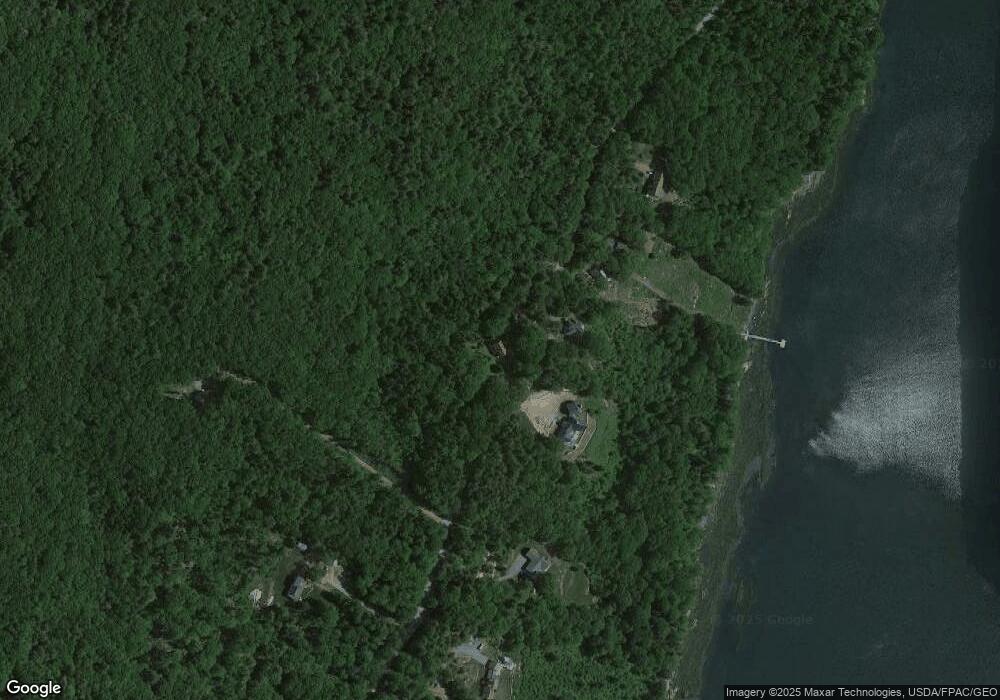
Map
Nearby Homes
- 153 Back Shore Rd
- 1276 State Route 32
- 31 Viking Way
- Lot 009 Reny Rd
- Lot 10.6 Louds Island
- 359 Lower Round Pond Rd
- Lot 68-11 Shore Rd
- 146 Lower Round Pond Rd
- 0 Sodom Rd
- 272 Keene Neck Rd
- 17 Eastwood Ct
- 12 Nonesuch Ln
- 9 Bearces Hill Rd
- 1212 Bristol Rd
- 003-D Lakeview Dr
- 688 Benner Rd
- Map10Lot5 Benner Rd
- M6L54 Bristol Rd
- M6L53 Bristol Rd
- Lot 149 Bristol Rd
- 174 Back Shore Rd
- 191 Back Shore Rd
- 187 Back Shore Rd
- Lot 54-C Back Shore Rd
- 1 Back Shore Rd
- 142 Back Shore Rd
- 137 Back Shore Rd
- 210 Back Shore Rd
- 133 Back Shore Rd
- 120 Back Shore Rd
- 24 Osprey Ln
- 24 Osprey Ln
- 33 Osprey Ln
- 243 Back Shore Rd
- 99 Back Shore Rd
- 90 Back Shore Rd
- 80 Back Shore Rd
- 41 Nickels Rd
- 1563 State Route 32