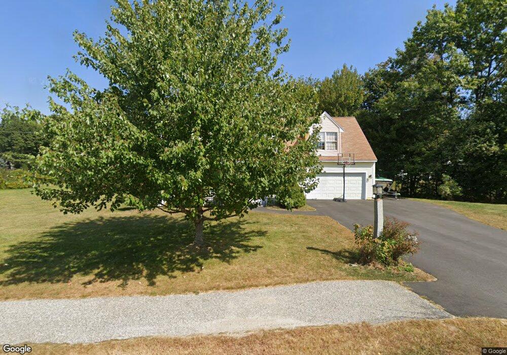
174 Barnstable Rd South Portland, ME 04106
Stanwood Park NeighborhoodEstimated Value: $725,324 - $775,000
5
Beds
3
Baths
2,219
Sq Ft
$340/Sq Ft
Est. Value
About This Home
This home is located at 174 Barnstable Rd, South Portland, ME 04106 and is currently estimated at $755,081, approximately $340 per square foot. 174 Barnstable Rd is a home located in Cumberland County with nearby schools including Dyer Elementary School, Derby Middle School, and Greater Portland Christian School.
Ownership History
Date
Name
Owned For
Owner Type
Purchase Details
Closed on
May 22, 2018
Sold by
Kilmartin Deborah A
Bought by
Locke Paul G and Locke Andrea
Current Estimated Value
Home Financials for this Owner
Home Financials are based on the most recent Mortgage that was taken out on this home.
Original Mortgage
$370,192
Outstanding Balance
$318,748
Interest Rate
4.4%
Mortgage Type
New Conventional
Estimated Equity
$436,333
Purchase Details
Closed on
Mar 2, 2015
Sold by
Kilmartin Deborah
Bought by
Kilmartin Deborah A
Home Financials for this Owner
Home Financials are based on the most recent Mortgage that was taken out on this home.
Original Mortgage
$208,000
Interest Rate
3.66%
Mortgage Type
New Conventional
Create a Home Valuation Report for This Property
The Home Valuation Report is an in-depth analysis detailing your home's value as well as a comparison with similar homes in the area
Home Values in the Area
Average Home Value in this Area
Purchase History
| Date | Buyer | Sale Price | Title Company |
|---|---|---|---|
| Locke Paul G | -- | -- | |
| Kilmartin Deborah A | -- | -- |
Source: Public Records
Mortgage History
| Date | Status | Borrower | Loan Amount |
|---|---|---|---|
| Open | Locke Paul G | $370,192 | |
| Previous Owner | Kilmartin Deborah A | $208,000 |
Source: Public Records
Tax History Compared to Growth
Tax History
| Year | Tax Paid | Tax Assessment Tax Assessment Total Assessment is a certain percentage of the fair market value that is determined by local assessors to be the total taxable value of land and additions on the property. | Land | Improvement |
|---|---|---|---|---|
| 2024 | $8,305 | $629,200 | $199,700 | $429,500 |
| 2023 | $6,705 | $474,200 | $107,400 | $366,800 |
| 2022 | $6,447 | $414,300 | $86,000 | $328,300 |
| 2021 | $6,090 | $414,300 | $86,000 | $328,300 |
| 2020 | $6,180 | $312,900 | $90,100 | $222,800 |
| 2019 | $5,976 | $312,900 | $90,100 | $222,800 |
| 2018 | $5,789 | $312,900 | $90,100 | $222,800 |
| 2017 | $5,632 | $312,900 | $90,100 | $222,800 |
| 2016 | $5,538 | $312,900 | $90,100 | $222,800 |
| 2015 | $5,444 | $312,900 | $90,100 | $222,800 |
| 2014 | $5,180 | $312,900 | $90,100 | $222,800 |
| 2013 | -- | $312,900 | $90,100 | $222,800 |
Source: Public Records
Map
Nearby Homes
- 52 Tamarack Dr
- 5 Barnstable Rd
- 6 Appletree Dr
- 18 Colchester Dr
- 141 Mckinley St
- 81 Washington Ave
- 190 Pleasant Hill Rd
- 42 Buchanan St
- 99 Quarry Rd
- 7 Allen Rd
- 17 Cross Hill Rd
- 1 Karynel Dr Unit 1
- 1010 Sawyer Rd
- 26 Grandview Ave
- 66 Evans St Unit 3
- 1 Quarry Rd
- 20 Noyes St
- 56 Peary Terrace
- 162 Fogg Rd
- 10 Pheasant Hill Rd
- 182 Barnstable Rd
- 173 Barnstable Rd
- 188 Barnstable Rd
- 189 Barnstable Rd
- 203 Barnstable Rd
- 181 Barnstable Rd
- 194 Barnstable Rd
- 152 Barnstable Rd
- 153 Barnstable Rd
- 153 Barnstable Rd
- 153 Barnstable Rd Unit 1
- 131 Brindle Cir
- 200 Barnstable Rd
- 21 Boysenberry Dr
- 27 Boysenberry Dr
- 137 Brindle Cir
- 123 Brindle Cir
- 206 Barnstable Rd
- 147 Barnstable Rd
- 13 Boysenberry Dr