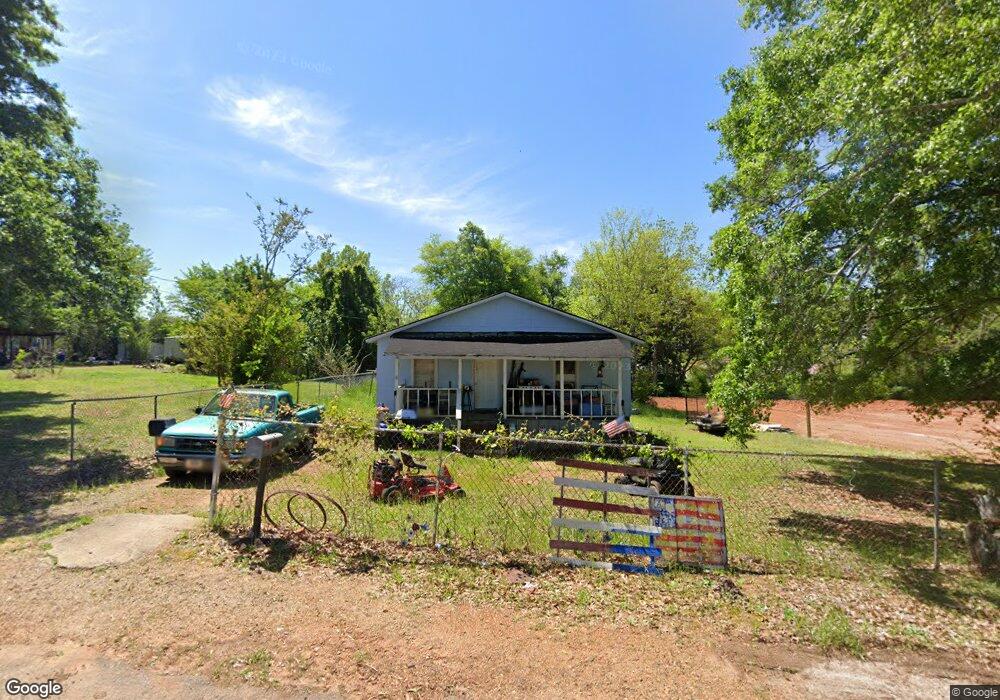
174 Bluegrass St Thomaston, GA 30286
Estimated Value: $86,000 - $111,000
2
Beds
1
Bath
1,008
Sq Ft
$99/Sq Ft
Est. Value
About This Home
This home is located at 174 Bluegrass St, Thomaston, GA 30286 and is currently estimated at $100,154, approximately $99 per square foot. 174 Bluegrass St is a home with nearby schools including Upson-Lee South Elementary School, Upson-Lee North Elementary School, and Upson-Lee Middle School.
Ownership History
Date
Name
Owned For
Owner Type
Purchase Details
Closed on
Sep 27, 2018
Sold by
Dudley Thomas Wayne
Bought by
Denby Van William
Current Estimated Value
Purchase Details
Closed on
Dec 14, 2015
Sold by
West Central Georgia Bank
Bought by
Dudley Thomas Wayne
Purchase Details
Closed on
Sep 1, 2015
Sold by
Turner Lisa Musslewhite
Bought by
West Central Georgia Bank
Purchase Details
Closed on
May 12, 2014
Sold by
Musslewhite David
Bought by
Turner Lisa Musselwhite
Create a Home Valuation Report for This Property
The Home Valuation Report is an in-depth analysis detailing your home's value as well as a comparison with similar homes in the area
Home Values in the Area
Average Home Value in this Area
Purchase History
| Date | Buyer | Sale Price | Title Company |
|---|---|---|---|
| Denby Van William | $6,000 | -- | |
| Dudley Thomas Wayne | $6,000 | -- | |
| West Central Georgia Bank | $9,000 | -- | |
| Turner Lisa Musselwhite | -- | -- |
Source: Public Records
Tax History Compared to Growth
Tax History
| Year | Tax Paid | Tax Assessment Tax Assessment Total Assessment is a certain percentage of the fair market value that is determined by local assessors to be the total taxable value of land and additions on the property. | Land | Improvement |
|---|---|---|---|---|
| 2024 | $699 | $20,802 | $1,229 | $19,573 |
| 2023 | $524 | $20,011 | $1,229 | $18,782 |
| 2022 | $429 | $15,419 | $1,229 | $14,190 |
| 2021 | $374 | $13,126 | $1,228 | $11,898 |
| 2020 | $378 | $12,421 | $1,229 | $11,192 |
| 2019 | $76 | $11,382 | $1,229 | $10,153 |
| 2018 | $362 | $11,382 | $1,229 | $10,153 |
| 2017 | $380 | $10,872 | $1,229 | $9,643 |
| 2016 | $85 | $10,551 | $1,280 | $9,271 |
| 2015 | $370 | $10,500 | $1,229 | $9,271 |
| 2014 | $318 | $10,500 | $1,229 | $9,271 |
Source: Public Records
Map
Nearby Homes
- 0 Highway 19 S Unit 24061935
- 0 Walton Cir Unit 10420188
- 133 Springdale Dr
- 615 Peachtree Dr
- 312 Magnolia Ave
- 269 Mlk jr Dr
- 406 Brookwood Dr
- 0 Veterans Dr Unit 10303890
- 720 S Church St
- 2077 Wiley St
- 2088 Wiley St
- 209 Upson Ave
- 300 Mallory St
- 2283 Cook St
- 0 Davis Lake Rd Unit 10511531
- 710 Hill St
- 105 Upson Ave
- 68 Davis Lake Rd Unit LOT 16
- 107 Shasta Dr
- 205 Herbert St
- 182 Bluegrass St
- 0 Bluegrass St Unit 8298842
- 0 Bluegrass St Unit 7124305
- 0 Bluegrass St Unit 8507709
- 0 Highway 19 S Unit 8340788
- 0 Highway 19 S Unit 8297404
- 0 Highway 19 S Unit 3194625
- 0 Highway 19 S Unit 7060166
- 0 Highway 19 S Unit 2455652
- 0 Highway 19 S Unit 7030358
- 0 Highway 19 S Unit TRACT 10 7251183
- 0 Highway 19 S Unit 7374942
- 0 Highway 19 S Unit 7490164
- 0 Highway 19 S Unit 20147084
- 0 Highway 19 S Unit 7394773
- 0 Highway 19 S Unit 8549971
- 0 Highway 19 S Unit M133588
- 0 Highway 19 S Unit M133589
- 0 Highway 19 S Unit 8429176
- 0 Highway 19 S Unit 8630222