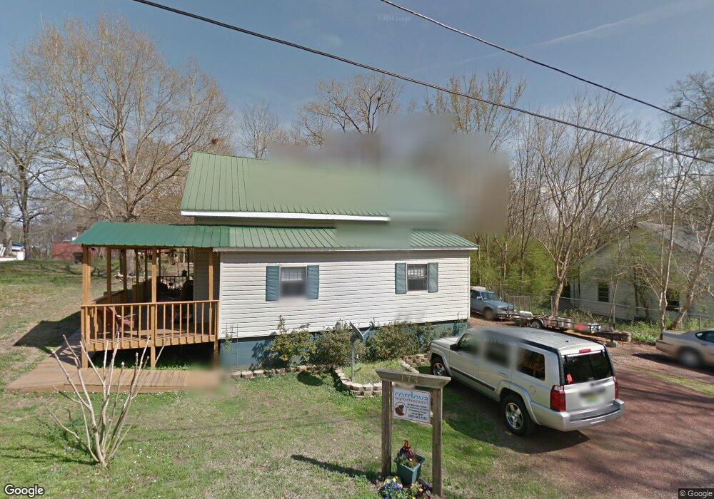
174 Branch St Cordova, AL 35550
Estimated Value: $55,000 - $118,000
--
Bed
--
Bath
974
Sq Ft
$100/Sq Ft
Est. Value
About This Home
This home is located at 174 Branch St, Cordova, AL 35550 and is currently estimated at $97,706, approximately $100 per square foot. 174 Branch St is a home located in Walker County.
Ownership History
Date
Name
Owned For
Owner Type
Purchase Details
Closed on
Sep 28, 2021
Sold by
Sparatan Invest Llc
Bought by
Miyata Robert Katsumi
Current Estimated Value
Home Financials for this Owner
Home Financials are based on the most recent Mortgage that was taken out on this home.
Original Mortgage
$70,500
Outstanding Balance
$64,289
Interest Rate
2.8%
Mortgage Type
New Conventional
Estimated Equity
$33,417
Purchase Details
Closed on
Apr 14, 2021
Sold by
Gilbert Kevin
Bought by
Spartan Invest Llc
Purchase Details
Closed on
Aug 17, 2007
Sold by
Valles Eric G
Bought by
Gilbert Kevin
Create a Home Valuation Report for This Property
The Home Valuation Report is an in-depth analysis detailing your home's value as well as a comparison with similar homes in the area
Home Values in the Area
Average Home Value in this Area
Purchase History
| Date | Buyer | Sale Price | Title Company |
|---|---|---|---|
| Miyata Robert Katsumi | $94,000 | None Available | |
| Spartan Invest Llc | $24,200 | None Available | |
| Gilbert Kevin | -- | -- |
Source: Public Records
Mortgage History
| Date | Status | Borrower | Loan Amount |
|---|---|---|---|
| Open | Miyata Robert Katsumi | $70,500 |
Source: Public Records
Tax History Compared to Growth
Tax History
| Year | Tax Paid | Tax Assessment Tax Assessment Total Assessment is a certain percentage of the fair market value that is determined by local assessors to be the total taxable value of land and additions on the property. | Land | Improvement |
|---|---|---|---|---|
| 2024 | $210 | $5,380 | $280 | $5,100 |
| 2023 | $210 | $5,380 | $280 | $5,100 |
| 2022 | $197 | $5,040 | $280 | $4,760 |
| 2021 | $101 | $2,572 | $280 | $2,292 |
| 2020 | $101 | $2,580 | $280 | $2,300 |
| 2019 | $118 | $2,580 | $280 | $2,300 |
| 2018 | $83 | $2,140 | $280 | $1,860 |
| 2017 | $83 | $2,140 | $280 | $1,860 |
| 2016 | $83 | $2,140 | $280 | $1,860 |
| 2015 | $83 | $2,140 | $280 | $1,860 |
| 2014 | $82 | $2,100 | $280 | $1,820 |
| 2013 | $75 | $1,920 | $280 | $1,640 |
Source: Public Records
Map
Nearby Homes
- 91 Jones St
- 264 High St
- 0 Columbus Blvd
- 307 Amory Ave
- 68 Buttercup Ln
- 00 Mt View Rd
- 0 Gardners Gin Rd Unit 21399626
- 39 Thomas Rd
- 000 Manuel Hill Rd
- 47 Hyche Rd
- 0 Treece Rd
- 0 Old Parrish Cordova Rd
- 1509 Old Kirkpatrick Rd
- 1644 Dovertown Rd
- 180 Mary Austin Rd
- 799 River Rd
- 0 Rivers Edge Trail Unit 1,2,3,5
- 0 Rivers Edge Trail
- 469 Buttermilk Rd
- 5746 Old Birmingham Hwy