Estimated Value: $491,000 - $841,000
Studio
--
Bath
4,792
Sq Ft
$137/Sq Ft
Est. Value
About This Home
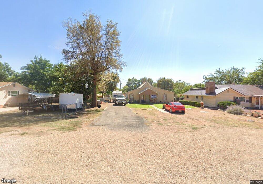
This home is located at 174 E 200 N, Kanab, UT 84741 and is currently estimated at $654,125, approximately $136 per square foot. 174 E 200 N is a home located in Kane County with nearby schools including Valley Elementary School and Valley High School.
Ownership History
Date
Name
Owned For
Owner Type
Purchase Details
Closed on
Feb 25, 2016
Sold by
Judd Brent A and Judd Marcie H
Bought by
Staples Jared and Staples Jessie
Current Estimated Value
Purchase Details
Closed on
Mar 20, 2007
Sold by
Judd Brent A and Judd Marcie H
Bought by
Heaton Bros Llc
Purchase Details
Closed on
May 26, 2005
Sold by
Alton Farmers Association
Bought by
Judd Brent A and Judd Marcie H
Create a Home Valuation Report for This Property
The Home Valuation Report is an in-depth analysis detailing your home's value as well as a comparison with similar homes in the area
Purchase History
| Date | Buyer | Sale Price | Title Company |
|---|---|---|---|
| Staples Jared | -- | -- | |
| Heaton Bros Llc | -- | -- | |
| Judd Brent A | -- | -- |
Source: Public Records
Tax History
| Year | Tax Paid | Tax Assessment Tax Assessment Total Assessment is a certain percentage of the fair market value that is determined by local assessors to be the total taxable value of land and additions on the property. | Land | Improvement |
|---|---|---|---|---|
| 2025 | $3,130 | $637,616 | $42,468 | $595,148 |
| 2024 | $3,145 | $351,192 | $22,245 | $328,947 |
| 2023 | $2,850 | $319,265 | $20,222 | $299,043 |
| 2022 | $2,843 | $283,936 | $18,210 | $265,726 |
| 2021 | $2,903 | $432,716 | $30,100 | $402,616 |
| 2020 | $2,211 | $432,716 | $30,100 | $402,616 |
| 2019 | $2,091 | $397,756 | $30,100 | $367,656 |
| 2018 | $5,438 | $397,198 | $30,100 | $367,098 |
| 2017 | $3,618 | $378,600 | $30,100 | $348,500 |
| 2016 | $3,063 | $410,913 | $30,100 | $380,813 |
| 2015 | $2,762 | $410,913 | $30,100 | $380,813 |
| 2014 | $2,762 | $370,397 | $30,100 | $340,297 |
| 2013 | -- | $204,438 | $0 | $0 |
Source: Public Records
Map
Nearby Homes
- 65 N 200 St E
- 38 S 6 W
- 38 S 6 W Unit 13
- 0 3995 County Unit 1408787
- 20.22 Acres
- 0 20 22 Acres Unit 25-258391
- 2805 N Dead Horse Loop
- 9-6-4-1C1 Crazy Bear Rd
- 0 S Alton Rd
- 0 Long Valley Unit 1409199
- 0 Valley Unit 1409198
- 0 Highway 89
- 1505 Elkridge Dr
- 1505 W Elk Ridge Dr
- 2814 N Dead Horse Loop
- 2755 N Dead Horse Loop
- 2820 Dead Horse Cir
- 1830 W Silverado Ridge
- 2498 W Silverado Ridge
- 3160 N Wapiti Dr
Your Personal Tour Guide
Ask me questions while you tour the home.