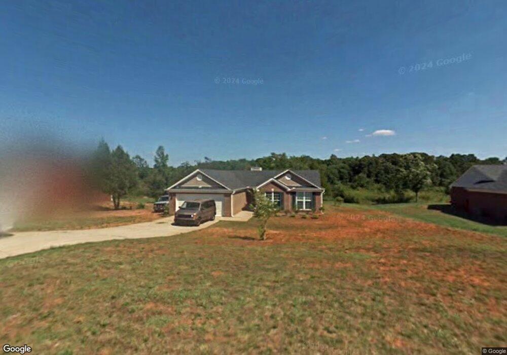
174 Ernie Way Statham, GA 30666
Estimated Value: $298,000 - $308,000
3
Beds
2
Baths
1,231
Sq Ft
$245/Sq Ft
Est. Value
About This Home
This home is located at 174 Ernie Way, Statham, GA 30666 and is currently estimated at $302,152, approximately $245 per square foot. 174 Ernie Way is a home located in Barrow County with nearby schools including Statham Elementary School, Bear Creek Middle School, and Winder-Barrow High School.
Ownership History
Date
Name
Owned For
Owner Type
Purchase Details
Closed on
Sep 12, 2005
Sold by
Mclintack Construction Corp
Bought by
Carmona Daniel
Current Estimated Value
Home Financials for this Owner
Home Financials are based on the most recent Mortgage that was taken out on this home.
Original Mortgage
$25,120
Interest Rate
5.44%
Mortgage Type
New Conventional
Purchase Details
Closed on
Apr 16, 2004
Sold by
Casta Development Inc
Bought by
Mclintack Construction Corp
Purchase Details
Closed on
Aug 29, 2002
Bought by
Casta Development Inc
Create a Home Valuation Report for This Property
The Home Valuation Report is an in-depth analysis detailing your home's value as well as a comparison with similar homes in the area
Home Values in the Area
Average Home Value in this Area
Purchase History
| Date | Buyer | Sale Price | Title Company |
|---|---|---|---|
| Carmona Daniel | $125,600 | -- | |
| Mclintack Construction Corp | $35,000 | -- | |
| Casta Development Inc | -- | -- |
Source: Public Records
Mortgage History
| Date | Status | Borrower | Loan Amount |
|---|---|---|---|
| Closed | Carmona Daniel | $25,120 |
Source: Public Records
Tax History Compared to Growth
Tax History
| Year | Tax Paid | Tax Assessment Tax Assessment Total Assessment is a certain percentage of the fair market value that is determined by local assessors to be the total taxable value of land and additions on the property. | Land | Improvement |
|---|---|---|---|---|
| 2024 | $2,324 | $103,643 | $22,000 | $81,643 |
| 2023 | $1,902 | $104,043 | $22,000 | $82,043 |
| 2022 | $2,139 | $81,736 | $22,000 | $59,736 |
| 2021 | $1,527 | $51,468 | $16,000 | $35,468 |
| 2020 | $1,536 | $51,468 | $16,000 | $35,468 |
| 2019 | $1,561 | $51,468 | $16,000 | $35,468 |
| 2018 | $1,378 | $45,484 | $11,600 | $33,884 |
| 2017 | $1,175 | $40,372 | $11,600 | $28,772 |
| 2016 | $1,181 | $40,683 | $11,600 | $29,083 |
| 2015 | $1,196 | $40,994 | $11,600 | $29,394 |
| 2014 | $1,054 | $36,164 | $6,860 | $29,304 |
| 2013 | -- | $34,719 | $6,860 | $27,859 |
Source: Public Records
Map
Nearby Homes
- 172 Ernie Way
- 176 Ernie Way
- 178 Ernie Way
- 170 Ernie Way
- 175 Ernie Way
- 1917 Brenda St
- 177 Ernie Way
- 177 Ernie Way (31)
- 171 Ernie Way Unit 1
- 1919 Brenda St
- 180 Ernie Way
- 179 Ernie Way
- 0 Brenda St Unit 8506025
- 0 Brenda St Unit 8265648
- 0 Brenda St Unit 7571217
- 0 Brenda St Unit 8924527
- 0 Brenda St Unit 3116087
- 1905 Brenda St
- 1921 Brenda St
- 181 Ernie Way