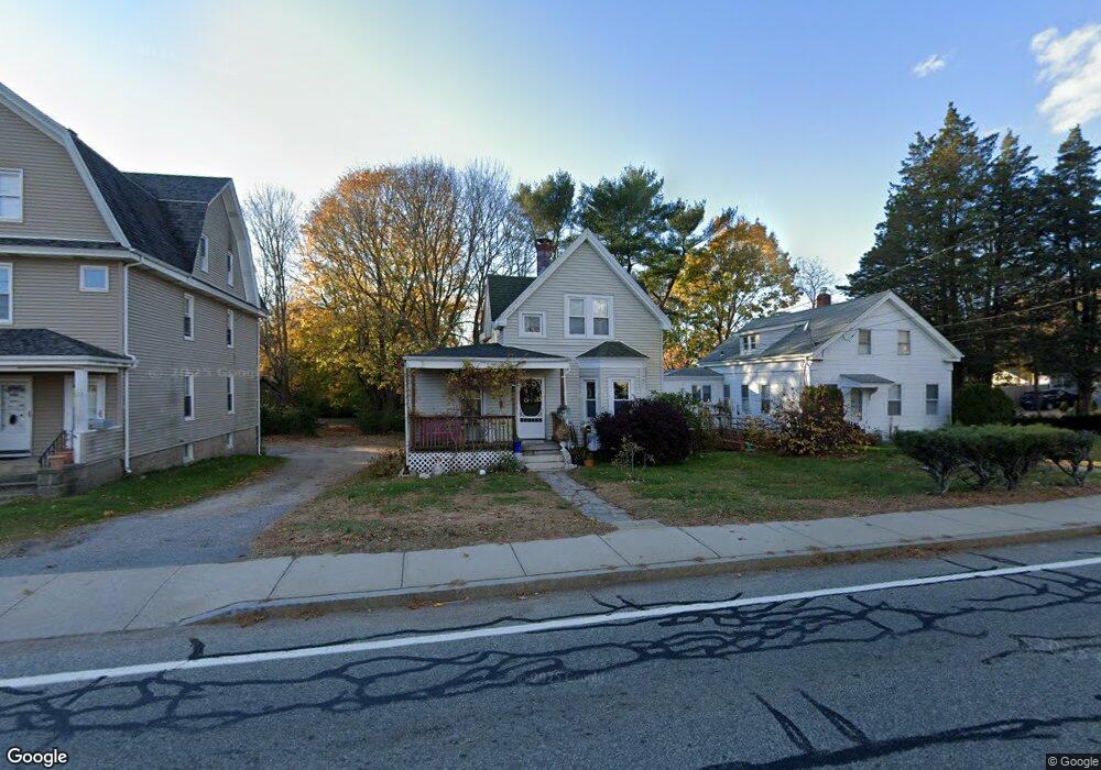
174 High St Westerly, RI 02891
Estimated Value: $279,000 - $376,000
3
Beds
1
Bath
955
Sq Ft
$349/Sq Ft
Est. Value
About This Home
This home is located at 174 High St, Westerly, RI 02891 and is currently estimated at $333,440, approximately $349 per square foot. 174 High St is a home located in Washington County with nearby schools including Westerly High School and St. Michael School.
Ownership History
Date
Name
Owned For
Owner Type
Purchase Details
Closed on
Jun 4, 2013
Sold by
Thewissen Whitney J and Holmes Maryann
Bought by
Thewissen Whitney J and Holmes Maryann
Current Estimated Value
Purchase Details
Closed on
Jul 29, 2011
Sold by
Whitney Evon
Bought by
Patalano Investments L
Purchase Details
Closed on
Jan 31, 2005
Sold by
Evon Robert
Bought by
Mangiarelli Michael
Purchase Details
Closed on
Jun 29, 2000
Sold by
Edith C Gent Trust and Gent Douglas C
Bought by
Evon Robert J
Create a Home Valuation Report for This Property
The Home Valuation Report is an in-depth analysis detailing your home's value as well as a comparison with similar homes in the area
Home Values in the Area
Average Home Value in this Area
Purchase History
| Date | Buyer | Sale Price | Title Company |
|---|---|---|---|
| Thewissen Whitney J | -- | -- | |
| Thewissen Whitney J | -- | -- | |
| Patalano Investments L | -- | -- | |
| Mangiarelli Michael | $91,000 | -- | |
| Evon Robert J | $72,500 | -- |
Source: Public Records
Mortgage History
| Date | Status | Borrower | Loan Amount |
|---|---|---|---|
| Previous Owner | Evon Robert J | $83,000 | |
| Previous Owner | Evon Robert J | $9,047 | |
| Previous Owner | Evon Robert J | $75,000 |
Source: Public Records
Tax History
| Year | Tax Paid | Tax Assessment Tax Assessment Total Assessment is a certain percentage of the fair market value that is determined by local assessors to be the total taxable value of land and additions on the property. | Land | Improvement |
|---|---|---|---|---|
| 2025 | $2,054 | $264,000 | $131,400 | $132,600 |
| 2024 | $2,080 | $199,000 | $93,800 | $105,200 |
| 2023 | $2,022 | $199,000 | $93,800 | $105,200 |
| 2022 | $2,010 | $199,000 | $93,800 | $105,200 |
| 2021 | $1,946 | $161,400 | $81,600 | $79,800 |
| 2020 | $1,913 | $161,400 | $81,600 | $79,800 |
| 2019 | $1,895 | $161,400 | $81,600 | $79,800 |
| 2018 | $1,857 | $150,400 | $81,600 | $68,800 |
| 2017 | $1,805 | $150,400 | $81,600 | $68,800 |
| 2016 | $1,805 | $150,400 | $81,600 | $68,800 |
| 2015 | $1,679 | $149,500 | $78,900 | $70,600 |
| 2014 | $1,652 | $149,500 | $78,900 | $70,600 |
Source: Public Records
Map
Nearby Homes
- 140 High St Unit 307
- 145 High St Unit D
- 40 Pleasant St
- 52 Spruce St
- 55 Pleasant St
- 9 Perkins Ave
- 5 Marion St
- 28 Spruce St
- 21 Linden St
- 12 Batterson Ave
- 12 Canal St Unit 205
- 2 Gravity Ct
- 1 River St
- 3 Joseph Ln
- 2 Marichris Dr
- 94 Ashaway Rd
- 6 Beatrice St
- 19 Nichols Ln
- 25 School St Unit 2
- 141 W Broad St
Your Personal Tour Guide
Ask me questions while you tour the home.