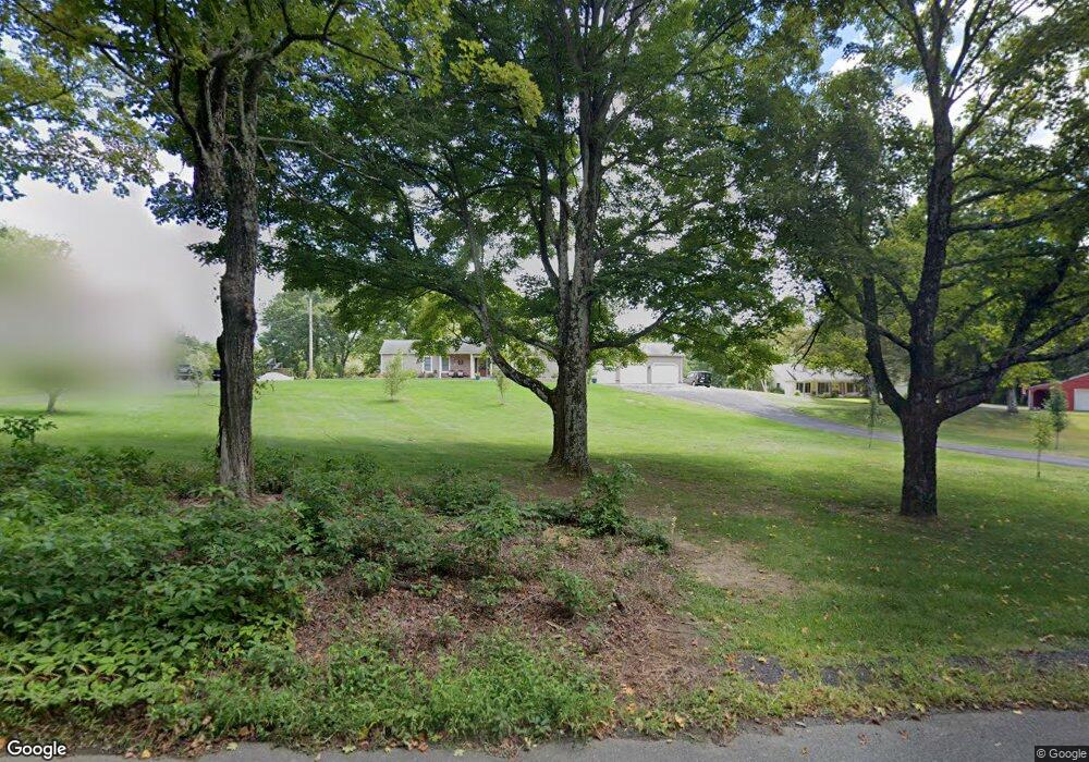
174 Honey Pot Rd Westfield, MA 01085
Estimated Value: $407,000 - $474,000
3
Beds
2
Baths
1,598
Sq Ft
$274/Sq Ft
Est. Value
About This Home
This home is located at 174 Honey Pot Rd, Westfield, MA 01085 and is currently estimated at $437,741, approximately $273 per square foot. 174 Honey Pot Rd is a home located in Hampden County with nearby schools including Westfield High School.
Ownership History
Date
Name
Owned For
Owner Type
Purchase Details
Closed on
Nov 3, 2016
Sold by
Kamps Craig A and Kamps Judith L
Bought by
Dauplaise Eric N and Dauplaise Stacey A
Current Estimated Value
Home Financials for this Owner
Home Financials are based on the most recent Mortgage that was taken out on this home.
Original Mortgage
$168,000
Outstanding Balance
$79,772
Interest Rate
3.48%
Mortgage Type
New Conventional
Estimated Equity
$357,969
Purchase Details
Closed on
May 16, 2003
Sold by
Dolan Theresa S and Dolan William F
Bought by
Kamps Craig A and Kamps Judith L
Home Financials for this Owner
Home Financials are based on the most recent Mortgage that was taken out on this home.
Original Mortgage
$150,000
Interest Rate
5.84%
Mortgage Type
Purchase Money Mortgage
Create a Home Valuation Report for This Property
The Home Valuation Report is an in-depth analysis detailing your home's value as well as a comparison with similar homes in the area
Home Values in the Area
Average Home Value in this Area
Purchase History
| Date | Buyer | Sale Price | Title Company |
|---|---|---|---|
| Dauplaise Eric N | $210,000 | -- | |
| Kamps Craig A | $231,000 | -- |
Source: Public Records
Mortgage History
| Date | Status | Borrower | Loan Amount |
|---|---|---|---|
| Open | Dauplaise Eric N | $168,000 | |
| Previous Owner | Kamps Craig A | $150,000 |
Source: Public Records
Tax History Compared to Growth
Tax History
| Year | Tax Paid | Tax Assessment Tax Assessment Total Assessment is a certain percentage of the fair market value that is determined by local assessors to be the total taxable value of land and additions on the property. | Land | Improvement |
|---|---|---|---|---|
| 2025 | $5,694 | $375,100 | $129,000 | $246,100 |
| 2024 | $5,810 | $363,800 | $117,700 | $246,100 |
| 2023 | $5,351 | $327,700 | $111,900 | $215,800 |
| 2022 | $5,351 | $289,400 | $99,700 | $189,700 |
| 2021 | $5,183 | $274,500 | $94,100 | $180,400 |
| 2020 | $5,015 | $260,500 | $94,100 | $166,400 |
| 2019 | $4,900 | $249,100 | $89,700 | $159,400 |
| 2018 | $4,472 | $231,000 | $89,700 | $141,300 |
| 2017 | $4,393 | $226,200 | $91,000 | $135,200 |
| 2016 | $4,409 | $226,800 | $91,600 | $135,200 |
| 2015 | $4,205 | $226,800 | $91,600 | $135,200 |
| 2014 | $3,145 | $226,800 | $91,600 | $135,200 |
Source: Public Records
Map
Nearby Homes
- 162 Honey Pot Rd
- 156 Honey Pot Rd
- 444 Loomis St
- 197 Loomis Rg
- 53 Yankee Cir
- 126 Western Cir
- 3 Angelica Dr
- 0 Fox Hill Dr
- 508 Granville Rd
- 40 Heritage Ln
- 110 Kensington Ave
- 386 Hillside Rd
- 555 Russell Rd Unit U A3
- 555 Russell Rd Unit D18
- 240 Hillside Rd
- 549 Russell Rd Unit 6B
- 66 Stoney Ln
- 16 Spruce St
- 324 Russell Rd Unit 204
- 11 Highland Cir
- 176 Honey Pot Rd
- Lot 24 Honey Pot Rd
- B-2 Honey Pot Rd
- Lot 2B Honey Pot Rd
- 161 Honey Pot Rd
- 169 Honey Pot Rd
- 150 Honey Pot Rd
- 177 Honey Pot Rd
- 145 Honey Pot Rd
- 189 Honey Pot Rd
- 123 Honey Pot Rd
- 202 Honey Pot Rd
- 180 Honey Pot Rd
- 120 Honey Pot Rd
- 215 Honey Pot Rd
- 235 Honey Pot Rd
- 95 Honey Pot Rd
- 240 Honey Pot Rd
- 239 Honey Pot Rd
- 244 Honey Pot Rd