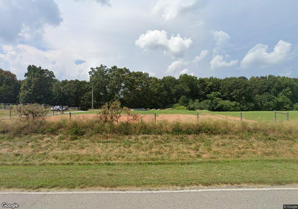
Estimated Value: $326,000
3
Beds
2
Baths
1,608
Sq Ft
$203/Sq Ft
Est. Value
About This Home
This home is located at 174 Lefevre Rd, Canon, GA 30520 and is currently estimated at $326,000, approximately $202 per square foot. 174 Lefevre Rd is a home located in Hart County with nearby schools including Hart County High School and Grace Ranch Academy.
Ownership History
Date
Name
Owned For
Owner Type
Purchase Details
Closed on
Apr 22, 2020
Sold by
Floyd Robert M
Bought by
Lindsey Joanne L
Current Estimated Value
Purchase Details
Closed on
May 24, 2018
Sold by
Beaverdam Farm Llc
Bought by
Boleman Ricky L and Boleman Tammy H
Purchase Details
Closed on
Oct 24, 2012
Sold by
Beaverdam Farms Llc
Bought by
Davison Jean
Purchase Details
Closed on
May 25, 2010
Sold by
Beaverdam Farms Llc
Bought by
Lefevre Bruce A
Purchase Details
Closed on
Jan 19, 2007
Sold by
Beaverdam Farm Llc
Bought by
Lindsey Scott Daniel
Purchase Details
Closed on
Jan 1, 1995
Purchase Details
Closed on
Jun 1, 1949
Create a Home Valuation Report for This Property
The Home Valuation Report is an in-depth analysis detailing your home's value as well as a comparison with similar homes in the area
Home Values in the Area
Average Home Value in this Area
Purchase History
| Date | Buyer | Sale Price | Title Company |
|---|---|---|---|
| Lindsey Joanne L | -- | -- | |
| Lindsey Joanne L | -- | -- | |
| Floyd Robert M | -- | -- | |
| Whiting Jason A | -- | -- | |
| Floyd Robert M | $219,420 | -- | |
| Lefevre Bruce A | -- | -- | |
| Boleman Ricky L | $15,717 | -- | |
| Davison Jean | $355,600 | -- | |
| Lefevre Bruce A | -- | -- | |
| Lindsey Scott Daniel | -- | -- | |
| -- | -- | -- | |
| -- | -- | -- |
Source: Public Records
Tax History Compared to Growth
Tax History
| Year | Tax Paid | Tax Assessment Tax Assessment Total Assessment is a certain percentage of the fair market value that is determined by local assessors to be the total taxable value of land and additions on the property. | Land | Improvement |
|---|---|---|---|---|
| 2024 | $488 | $101,484 | $101,484 | $0 |
| 2023 | $473 | $81,225 | $81,225 | $0 |
| 2022 | $459 | $72,482 | $72,482 | $0 |
| 2021 | $497 | $72,482 | $72,482 | $0 |
| 2020 | $2,193 | $197,181 | $118,457 | $78,724 |
| 2019 | $2,317 | $203,493 | $118,457 | $85,036 |
| 2018 | $2,381 | $209,344 | $121,862 | $87,482 |
| 2017 | $2,375 | $209,344 | $121,862 | $87,482 |
| 2016 | $2,459 | $185,804 | $97,014 | $88,790 |
| 2015 | $2,806 | $227,262 | $113,352 | $113,911 |
| 2014 | $2,298 | $201,540 | $115,173 | $86,368 |
| 2013 | -- | $203,852 | $115,172 | $88,679 |
Source: Public Records
Map
Nearby Homes
- 0 Rice Creek Rd Unit 10403913
- 204 Detter Rd Unit 5 HOMES ON 3.26 ACRE
- 342 Phillips Cir
- 00 Georgia 17
- LOT 6 Pine Valley Dr
- 5041 Airline-Goldmine Rd
- 320 Pine Valley Dr
- 134 College St
- 157 Grizzle St
- 256 Adams Place Rd
- 157 Hartwell St
- 331 College St Unit 331 & 333
- 190 Jordan St
- 406 Abc Farm Rd
- 121 Cook St
- 641 Church St
- 0 Wildcat Bridge Rd Unit 23872265
- 0 Wildcat Bridge Rd Unit 10544672
- 221 Cobb Dr
- 464 Church St
- 112 Lefevre Rd
- 866 Andrew Floyd Rd
- 721 Andrew Floyd Rd
- 2388 Beaverdam Farm Rd
- 940 Farm Rd
- 278 Dockery Rd
- 0000 Farm Rd
- 573 Andrew Floyd Rd
- 1050 Farm Rd
- 3 Stone Ln
- 1110 Farm Rd
- 466 Stone Ln Unit 1 and 2
- 466 Stone Ln
- 466 Stone Ln Unit 1
- 466 Stone Ln Unit 3-19.5
- 466 Stone Ln Unit 1-12
- 0 Stone Ln
- 1213 Farm Rd
- 1079 Farm Rd
- 1121 Farm Rd
